1911 Belfast River Rd Richmond Hill, GA 31324
Estimated Value: $388,048 - $422,000
3
Beds
2
Baths
1,739
Sq Ft
$237/Sq Ft
Est. Value
About This Home
This home is located at 1911 Belfast River Rd, Richmond Hill, GA 31324 and is currently estimated at $411,512, approximately $236 per square foot. 1911 Belfast River Rd is a home located in Bryan County with nearby schools including Frances Meeks Elementary School, Dr. George Washington Carver Elementary School, and Richmond Hill Elementary School.
Ownership History
Date
Name
Owned For
Owner Type
Purchase Details
Closed on
Jan 1, 1996
Bought by
Patten Donald C and Patten Suzanne
Current Estimated Value
Create a Home Valuation Report for This Property
The Home Valuation Report is an in-depth analysis detailing your home's value as well as a comparison with similar homes in the area
Home Values in the Area
Average Home Value in this Area
Purchase History
| Date | Buyer | Sale Price | Title Company |
|---|---|---|---|
| Patten Donald C | $29,000 | -- |
Source: Public Records
Tax History Compared to Growth
Tax History
| Year | Tax Paid | Tax Assessment Tax Assessment Total Assessment is a certain percentage of the fair market value that is determined by local assessors to be the total taxable value of land and additions on the property. | Land | Improvement |
|---|---|---|---|---|
| 2024 | $1,646 | $101,896 | $23,560 | $78,336 |
| 2023 | $984 | $75,152 | $23,560 | $51,592 |
| 2022 | $1,822 | $74,152 | $23,560 | $50,592 |
| 2021 | $1,803 | $73,352 | $23,560 | $49,792 |
| 2020 | $1,778 | $71,432 | $23,560 | $47,872 |
| 2019 | $902 | $69,976 | $22,120 | $47,856 |
| 2018 | $1,813 | $69,976 | $22,120 | $47,856 |
| 2017 | $1,917 | $78,736 | $22,120 | $56,616 |
| 2016 | $1,893 | $77,056 | $22,120 | $54,936 |
| 2015 | $1,889 | $76,576 | $22,120 | $54,456 |
| 2014 | $1,908 | $77,192 | $22,120 | $55,072 |
Source: Public Records
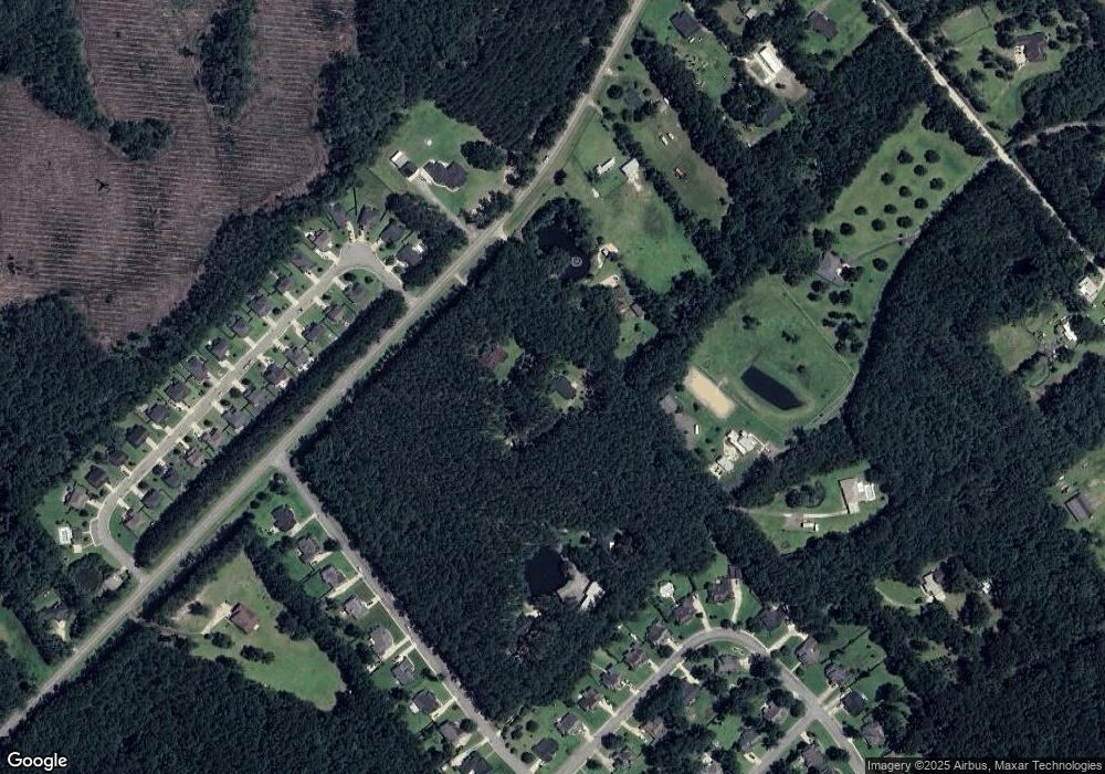
Map
Nearby Homes
- 70 Bowridge Dr
- 110 Jacobs Cir
- 530 Blige Rd
- 443 Sunbury Dr
- 1550 Belfast River Rd
- 225 James Dunham Pkwy
- 20 Jacobs Cir
- 77 Rimmon Ct
- 145 Nettleton Ln
- 79 Shearwater Ln
- 86 Sandy Bend Dr
- 439 Laurenburg Dr
- 236 Monterey Loop
- 188 Monterey Loop
- 210 Monterey Loop
- 448 Laurenburg Dr
- 32 Roundstone Way
- 14 Sweet Grass Ln
- 70 Wicklow Dr
- 225 James Dr
- 1921 Belfast Keller Rd
- 1921 Belfast River Rd
- 1871 Belfast River Rd
- 10 Bowridge Dr
- 1825 Belfast River Rd
- 55 Bowridge Dr
- 65 Bowridge Dr
- 20 Bowridge Dr
- 75 Bowridge Dr
- 367 Blige Rd
- 4110 Belfast Keller Rd
- 85 Bowridge Dr
- 30 Bowridge Dr
- 50 Bowridge Dr
- 95 Bowridge Dr
- 40 Bowridge Dr
- 105 Bowridge Dr
- 80 Bowridge Dr
- 0 Bowridge Dr
- 115 Bowridge Dr