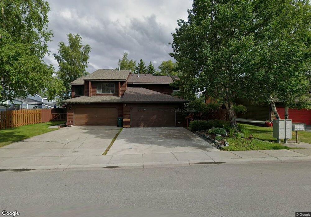
1911 Commodore Dr Anchorage, AK 99507
Abbott Loop NeighborhoodEstimated Value: $378,000 - $483,000
2
Beds
2
Baths
1,658
Sq Ft
$257/Sq Ft
Est. Value
About This Home
This home is located at 1911 Commodore Dr, Anchorage, AK 99507 and is currently estimated at $426,345, approximately $257 per square foot. 1911 Commodore Dr is a home located in Anchorage Municipality with nearby schools including Bowman Elementary School, Hanshew Middle School, and Service High School.
Ownership History
Date
Name
Owned For
Owner Type
Purchase Details
Closed on
Apr 12, 1988
Sold by
Alaska Housing Finance Corp
Bought by
Jones Cheryl M
Current Estimated Value
Home Financials for this Owner
Home Financials are based on the most recent Mortgage that was taken out on this home.
Original Mortgage
$86,828
Interest Rate
9.96%
Mortgage Type
FHA
Create a Home Valuation Report for This Property
The Home Valuation Report is an in-depth analysis detailing your home's value as well as a comparison with similar homes in the area
Home Values in the Area
Average Home Value in this Area
Purchase History
| Date | Buyer | Sale Price | Title Company |
|---|---|---|---|
| Jones Cheryl M | -- | -- |
Source: Public Records
Mortgage History
| Date | Status | Borrower | Loan Amount |
|---|---|---|---|
| Closed | Jones Cheryl M | $86,828 |
Source: Public Records
Tax History
| Year | Tax Paid | Tax Assessment Tax Assessment Total Assessment is a certain percentage of the fair market value that is determined by local assessors to be the total taxable value of land and additions on the property. | Land | Improvement |
|---|---|---|---|---|
| 2025 | $4,525 | $390,200 | $85,000 | $305,200 |
| 2024 | $4,525 | $355,300 | $85,000 | $270,300 |
| 2023 | $5,412 | $317,800 | $85,000 | $232,800 |
| 2022 | $4,382 | $310,200 | $85,000 | $225,200 |
| 2021 | $5,292 | $293,700 | $85,000 | $208,700 |
| 2020 | $4,061 | $289,200 | $85,000 | $204,200 |
| 2019 | $3,957 | $291,900 | $85,000 | $206,900 |
| 2018 | $3,938 | $290,100 | $80,700 | $209,400 |
| 2017 | $4,247 | $291,200 | $80,700 | $210,500 |
| 2016 | $3,533 | $278,600 | $77,600 | $201,000 |
| 2015 | $3,533 | $272,300 | $77,600 | $194,700 |
| 2014 | $3,533 | $267,100 | $77,600 | $189,500 |
Source: Public Records
Map
Nearby Homes
- 1935 Commodore Dr
- 1962 Commodore Dr
- 1900-1941 Marthas Vineyard Cir
- 8000 Independence Park Dr
- 10282 Jamestown Dr Unit 5A
- 10229 Jamestown Dr Unit 605
- 9599 Brayton Dr Unit 422
- 9750 Vanguard Dr Unit 44
- 9751 Newhaven Loop
- 9710 Vanguard Dr Unit 80
- 9715 Independence Dr Unit B306
- 11501 Hawkins Ln
- 10240 Old Seward Hwy
- 2211 Sentry Dr Unit B6
- 11205 Willene Dr
- 11418 Moonrise Ridge Place Unit 19
- NHN Red Sky Cir
- 2640 E 112th Ave
- 11135 Red Sky Cir
- 1100 E 112th Ave Unit 2
- 1921 Commodore Dr
- 1901 Commodore Dr
- 1931 Commodore Dr
- 10551 Jamestown Dr
- 10541 Jamestown Dr
- 1987 Commodore Dr
- 1985 Commodore Dr
- 10531 Jamestown Dr
- 1983 Commodore Dr
- 10521 Jamestown Dr
- 1908 Commodore Dr
- 1904 Commodore Dr
- 1981 Commodore Dr
- 1939 Commodore Dr
- 1912 Commodore Dr
- 1900 Commodore Dr
- 10511 Jamestown Dr
- 1979 Commodore Dr
- 1916 Commodore Dr
- 1860 Commodore Dr
Your Personal Tour Guide
Ask me questions while you tour the home.