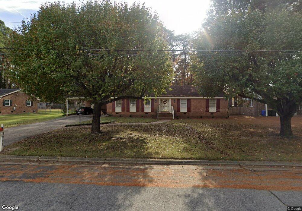
1911 Delwood Dr W Wilson, NC 27893
Estimated Value: $226,543 - $252,000
3
Beds
2
Baths
1,846
Sq Ft
$130/Sq Ft
Est. Value
About This Home
This home is located at 1911 Delwood Dr W, Wilson, NC 27893 and is currently estimated at $239,886, approximately $129 per square foot. 1911 Delwood Dr W is a home located in Wilson County with nearby schools including James Hunt High School, Vinson-Bynum Elementary School, and Forest Hills Middle School.
Ownership History
Date
Name
Owned For
Owner Type
Purchase Details
Closed on
Jul 23, 2007
Sold by
Owens Jerry G
Bought by
Dunston Forestene
Current Estimated Value
Home Financials for this Owner
Home Financials are based on the most recent Mortgage that was taken out on this home.
Original Mortgage
$129,900
Outstanding Balance
$80,126
Interest Rate
6.25%
Mortgage Type
Adjustable Rate Mortgage/ARM
Estimated Equity
$159,760
Create a Home Valuation Report for This Property
The Home Valuation Report is an in-depth analysis detailing your home's value as well as a comparison with similar homes in the area
Home Values in the Area
Average Home Value in this Area
Purchase History
| Date | Buyer | Sale Price | Title Company |
|---|---|---|---|
| Dunston Forestene | $43,500 | None Available |
Source: Public Records
Mortgage History
| Date | Status | Borrower | Loan Amount |
|---|---|---|---|
| Open | Dunston Forestene | $129,900 |
Source: Public Records
Tax History Compared to Growth
Tax History
| Year | Tax Paid | Tax Assessment Tax Assessment Total Assessment is a certain percentage of the fair market value that is determined by local assessors to be the total taxable value of land and additions on the property. | Land | Improvement |
|---|---|---|---|---|
| 2025 | $1,946 | $173,782 | $42,000 | $131,782 |
| 2024 | $1,946 | $173,782 | $42,000 | $131,782 |
| 2023 | $1,472 | $112,770 | $21,600 | $91,170 |
| 2022 | $1,472 | $112,770 | $21,600 | $91,170 |
| 2021 | $1,454 | $111,454 | $21,600 | $89,854 |
| 2020 | $1,454 | $111,454 | $21,600 | $89,854 |
| 2019 | $1,454 | $111,454 | $21,600 | $89,854 |
| 2018 | $1,454 | $111,454 | $21,600 | $89,854 |
| 2017 | $1,432 | $111,454 | $21,600 | $89,854 |
| 2016 | $1,432 | $111,454 | $21,600 | $89,854 |
| 2014 | $1,619 | $130,030 | $21,600 | $108,430 |
Source: Public Records
Map
Nearby Homes
- 1914 Rand Rd W
- 1903 Stafford Dr W
- 1824 Oakdale Dr W
- 2704 Millhaven Ct W
- 2015 Westwood Ave W
- 3023 Winding Ridge Dr W
- 1705 Parkway St W
- 3001 Cranberry Ridge Dr SW
- 1720 Westwood Ave W
- 2903 Cliff Ct W
- 1709 Westwood Ave W
- 3002 Chipper Ln W
- 3008 Winding Ridge Dr
- 2668 Forest Hills Rd SW
- 3009 Chipper Ln W
- 1102 Raleigh Road Pkwy W
- 3408 Baybrooke Dr
- 606 Hawthorne Ln W
- 3502 Baybrooke Dr W
- 1403 Westwood Ave W
- 1913 Delwood Dr W
- 1907 Delwood Dr W
- 1915 Delwood Dr W
- 1910 Delwood Dr W
- 1905 Delwood Dr W
- 1910 Forest Hills Rd W
- 1912 Delwood Dr W
- 1908 Delwood Dr W
- 1912 Stafford Dr W
- 1914 Delwood Dr W
- 1903 Delwood Dr W
- 1904 Delwood Dr W
- 1910 Stafford Dr W
- 1911 Stafford Dr W
- 1911 Oakdale Dr W
- 1909 Oakdale Dr W
- 1912 Rand Rd W
- 1913 Oakdale Dr W
- 1908 Forest Hills Rd W
- 1915 Oakdale Dr W