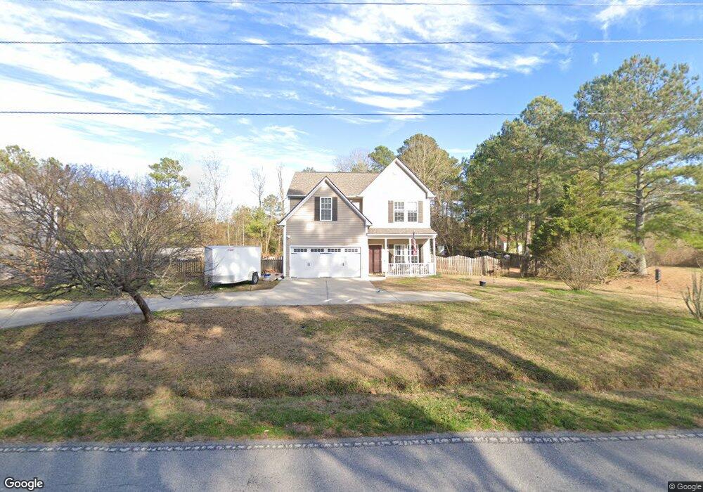
1911 Haw Branch Rd Beulaville, NC 28518
Estimated Value: $316,058 - $323,000
3
Beds
3
Baths
2,253
Sq Ft
$142/Sq Ft
Est. Value
About This Home
This home is located at 1911 Haw Branch Rd, Beulaville, NC 28518 and is currently estimated at $319,015, approximately $141 per square foot. 1911 Haw Branch Rd is a home located in Onslow County with nearby schools including Richlands Elementary School, Trexler Middle School, and Richlands High School.
Ownership History
Date
Name
Owned For
Owner Type
Purchase Details
Closed on
Jul 7, 2005
Sold by
Rhc Costruction & Realty Inc
Bought by
Droke David C and Droke Kimberly A
Current Estimated Value
Home Financials for this Owner
Home Financials are based on the most recent Mortgage that was taken out on this home.
Original Mortgage
$168,506
Interest Rate
5.72%
Mortgage Type
VA
Create a Home Valuation Report for This Property
The Home Valuation Report is an in-depth analysis detailing your home's value as well as a comparison with similar homes in the area
Home Values in the Area
Average Home Value in this Area
Purchase History
| Date | Buyer | Sale Price | Title Company |
|---|---|---|---|
| Droke David C | $165,000 | None Available |
Source: Public Records
Mortgage History
| Date | Status | Borrower | Loan Amount |
|---|---|---|---|
| Previous Owner | Droke David C | $168,506 |
Source: Public Records
Tax History Compared to Growth
Tax History
| Year | Tax Paid | Tax Assessment Tax Assessment Total Assessment is a certain percentage of the fair market value that is determined by local assessors to be the total taxable value of land and additions on the property. | Land | Improvement |
|---|---|---|---|---|
| 2025 | $1,473 | $224,915 | $25,000 | $199,915 |
| 2024 | $1,473 | $224,915 | $25,000 | $199,915 |
| 2023 | $1,473 | $224,915 | $25,000 | $199,915 |
| 2022 | $1,473 | $224,915 | $25,000 | $199,915 |
| 2021 | $1,170 | $165,910 | $20,000 | $145,910 |
| 2020 | $1,170 | $165,910 | $20,000 | $145,910 |
| 2019 | $1,170 | $165,910 | $20,000 | $145,910 |
| 2018 | $1,170 | $165,910 | $20,000 | $145,910 |
| 2017 | $1,075 | $159,290 | $20,000 | $139,290 |
| 2016 | $1,075 | $159,290 | $0 | $0 |
| 2015 | $1,075 | $159,290 | $0 | $0 |
| 2014 | $1,075 | $159,290 | $0 | $0 |
Source: Public Records
Map
Nearby Homes
- 1872 Haw Branch Rd
- 112 Christy Dr
- 158 Christy Dr
- 313 Caleb Ct
- 198 Christy Dr
- 2932 Catherine Lake Rd
- 263 Sweet Gum Ln
- 1651 Haw Branch Rd
- 521 Cherry Blossom Ln
- 160 Ashbury Park Ln
- 308 Snow Bell Ct
- 3244 Catherine Lake Rd
- 588 Luther Banks Rd
- 441 Cedar Fork Rd
- 3245 Catherine Lake Rd
- 3287 Catherine Lake Rd
- 150 Mattie Ln
- 1441 Haw Branch Rd
- 308 Big Tree Ln
- 503 Orchard Creek Dr
- 1907 Haw Branch Rd
- 1917 Haw Branch Rd
- 1902 Haw Branch Rd
- 1895 Haw Branch Rd
- 1931 Haw Branch Rd
- 205 Margaret Ct
- 206 Margaret Ct
- 1884 Haw Branch Rd
- 204 Margaret Ct
- 203 Margaret Ct
- 1880 Haw Branch Rd
- 202 Margaret Ct
- 1875 Haw Branch Rd
- 109 Willard Way
- 1876 Haw Branch Rd
- 107 Willard Way
- 200 Margaret Ct
- 1873 Haw Branch Rd
- 105 Willard Way
- 115 Willard Way