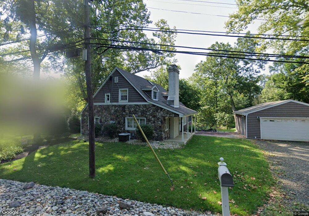
1911 Lower State Rd Doylestown, PA 18901
Estimated Value: $549,000 - $583,000
3
Beds
2
Baths
1,728
Sq Ft
$330/Sq Ft
Est. Value
About This Home
This home is located at 1911 Lower State Rd, Doylestown, PA 18901 and is currently estimated at $569,691, approximately $329 per square foot. 1911 Lower State Rd is a home located in Bucks County with nearby schools including Kutz Elementary School, Lenape Middle School, and Central Bucks High School-West.
Ownership History
Date
Name
Owned For
Owner Type
Purchase Details
Closed on
Jan 2, 1998
Sold by
Smith John M and Smith Mary P
Bought by
Thompson Sandra
Current Estimated Value
Home Financials for this Owner
Home Financials are based on the most recent Mortgage that was taken out on this home.
Original Mortgage
$135,000
Outstanding Balance
$23,305
Interest Rate
7.08%
Estimated Equity
$546,386
Purchase Details
Closed on
Jul 20, 1987
Bought by
Smith John M and Smith Mary P
Create a Home Valuation Report for This Property
The Home Valuation Report is an in-depth analysis detailing your home's value as well as a comparison with similar homes in the area
Home Values in the Area
Average Home Value in this Area
Purchase History
| Date | Buyer | Sale Price | Title Company |
|---|---|---|---|
| Thompson Sandra | $154,250 | -- | |
| Smith John M | $141,000 | -- |
Source: Public Records
Mortgage History
| Date | Status | Borrower | Loan Amount |
|---|---|---|---|
| Open | Thompson Sandra | $135,000 |
Source: Public Records
Tax History Compared to Growth
Tax History
| Year | Tax Paid | Tax Assessment Tax Assessment Total Assessment is a certain percentage of the fair market value that is determined by local assessors to be the total taxable value of land and additions on the property. | Land | Improvement |
|---|---|---|---|---|
| 2025 | $4,644 | $26,240 | $5,000 | $21,240 |
| 2024 | $4,644 | $26,240 | $5,000 | $21,240 |
| 2023 | $4,428 | $26,240 | $5,000 | $21,240 |
| 2022 | $4,378 | $26,240 | $5,000 | $21,240 |
| 2021 | $4,288 | $26,240 | $5,000 | $21,240 |
| 2020 | $4,269 | $26,240 | $5,000 | $21,240 |
| 2019 | $4,223 | $26,240 | $5,000 | $21,240 |
| 2018 | $4,210 | $26,240 | $5,000 | $21,240 |
| 2017 | $4,177 | $26,240 | $5,000 | $21,240 |
| 2016 | $4,151 | $26,240 | $5,000 | $21,240 |
| 2015 | -- | $26,240 | $5,000 | $21,240 |
| 2014 | -- | $26,240 | $5,000 | $21,240 |
Source: Public Records
Map
Nearby Homes
- 1101 Deerfield Ln
- 137 Wells Rd
- 20 Woodstone Dr
- 47 Mill Creek Dr Unit 32
- 47 Mill Creek Dr
- 84 Iron Hill Rd
- 6 Mill Creek Dr
- 2 Mill Creek Dr
- 2 Mill Creek Dr Unit 137
- 52 Tradesville Dr Unit 83
- Vetri Plan at Doylestown Walk
- 52 Tradesville Dr
- 25 Mill Creek Dr
- 25 Mill Creek Dr Unit 13
- 23 Mill Creek Dr
- 21 Mill Creek Dr Unit 11
- 21 Mill Creek Dr
- 250 Wooded Dr
- 1 Mill Creek Dr
- 73 Tradesville Dr
- 1907 Lower State Rd
- 1925 Lower State Rd
- 1896 Lower State Rd
- 1861 Lower State Rd
- 1933 Lower State Rd
- 1900 Lower State Rd
- 596 Almshouse Rd
- 1858 Lower State Rd
- 588 Almshouse Rd
- 1945 Lower State Rd
- 1950 Lower State Rd
- 580 Almshouse Rd
- 580 Almshouse Rd Unit COTTAGE
- 1975 Lower State Rd
- 631 Almshouse Rd
- 645 Almshouse Rd
- 1025 Almshouse Rd
- 1839 Lower State Rd Unit Apartment C
- 1839 Lower State Rd
- 102 Quail Dr