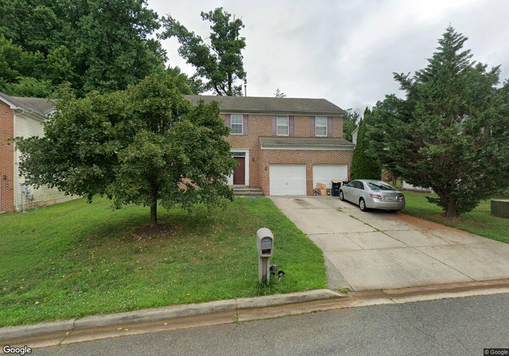
1911 Maemoore Ct District Heights, MD 20747
Estimated Value: $505,000 - $525,990
Studio
3
Baths
2,198
Sq Ft
$234/Sq Ft
Est. Value
About This Home
This home is located at 1911 Maemoore Ct, District Heights, MD 20747 and is currently estimated at $514,498, approximately $234 per square foot. 1911 Maemoore Ct is a home located in Prince George's County with nearby schools including North Forestville Elementary School, Walker Mill Middle School, and Largo High School.
Ownership History
Date
Name
Owned For
Owner Type
Purchase Details
Closed on
Sep 7, 2005
Sold by
Westpoint David A
Bought by
Ezeh Steve
Current Estimated Value
Home Financials for this Owner
Home Financials are based on the most recent Mortgage that was taken out on this home.
Original Mortgage
$280,000
Outstanding Balance
$152,156
Interest Rate
6.3%
Mortgage Type
Adjustable Rate Mortgage/ARM
Estimated Equity
$362,342
Purchase Details
Closed on
Mar 13, 2002
Sold by
Middleton Homes Inc
Bought by
Westpoint David A and Westpoint Linda A
Create a Home Valuation Report for This Property
The Home Valuation Report is an in-depth analysis detailing your home's value as well as a comparison with similar homes in the area
Home Values in the Area
Average Home Value in this Area
Purchase History
| Date | Buyer | Sale Price | Title Company |
|---|---|---|---|
| Ezeh Steve | $370,000 | -- | |
| Westpoint David A | $244,320 | -- |
Source: Public Records
Mortgage History
| Date | Status | Borrower | Loan Amount |
|---|---|---|---|
| Open | Ezeh Steve | $280,000 | |
| Open | Ezeh Steve | $700,000 |
Source: Public Records
Tax History
| Year | Tax Paid | Tax Assessment Tax Assessment Total Assessment is a certain percentage of the fair market value that is determined by local assessors to be the total taxable value of land and additions on the property. | Land | Improvement |
|---|---|---|---|---|
| 2025 | $6,961 | $486,033 | -- | -- |
| 2024 | $6,961 | $441,567 | -- | -- |
| 2023 | $6,462 | $397,100 | $80,500 | $316,600 |
| 2022 | $6,336 | $388,600 | $0 | $0 |
| 2021 | $6,209 | $380,100 | $0 | $0 |
| 2020 | $6,083 | $371,600 | $60,200 | $311,400 |
| 2019 | $5,978 | $364,533 | $0 | $0 |
| 2018 | $6,155 | $357,467 | $0 | $0 |
| 2017 | $6,050 | $350,400 | $0 | $0 |
| 2016 | -- | $307,333 | $0 | $0 |
| 2015 | $5,557 | $264,267 | $0 | $0 |
| 2014 | $5,557 | $221,200 | $0 | $0 |
Source: Public Records
Map
Nearby Homes
- 8697 Ritchboro Rd
- 8729 Ritchboro Rd
- 8750 Ritchboro Rd
- 8752 Ritchboro Rd
- 8510 Bonny Dr
- 1307 Woodlark Dr
- 1307 Asheville Rd
- 2583 Oak Glen Way
- 8403 Eureka St
- 2406 Timbercrest Dr
- 2410 Ritchie Rd
- 8110 Phelps Place
- 1400 Waterford Dr
- 2612 Phelps Ave
- TBB Presidential Pkwy Unit ALDEN II
- HOMESITE V98 Laleh Way
- HOMESITE V78 Laleh Way
- HOMESITE V77 Lelah Way
- HOMESITE V97 Laleh Way
- HOMESITE V104 Laleh Way
- 1909 Maemoore Ct
- 1913 Maemoore Ct
- 1716 Dennis Ct
- 1907 Maemoore Ct
- 1915 Maemoore Ct
- 1910 Maemoore Ct
- 1714 Dennis Ct
- 1718 Dennis Ct
- 1905 Maemoore Ct
- 1908 Maemoore Ct
- 8314 Laura Ln
- 8312 Laura Ln
- 1917 Maemoore Ct
- 8316 Laura Ln
- 1906 Maemoore Ct
- 1903 Maemoore Ct
- 8400 Laura Ln
- 1919 Maemoore Ct
- 8402 Laura Ln
- 8306 Laura Ln
Your Personal Tour Guide
Ask me questions while you tour the home.