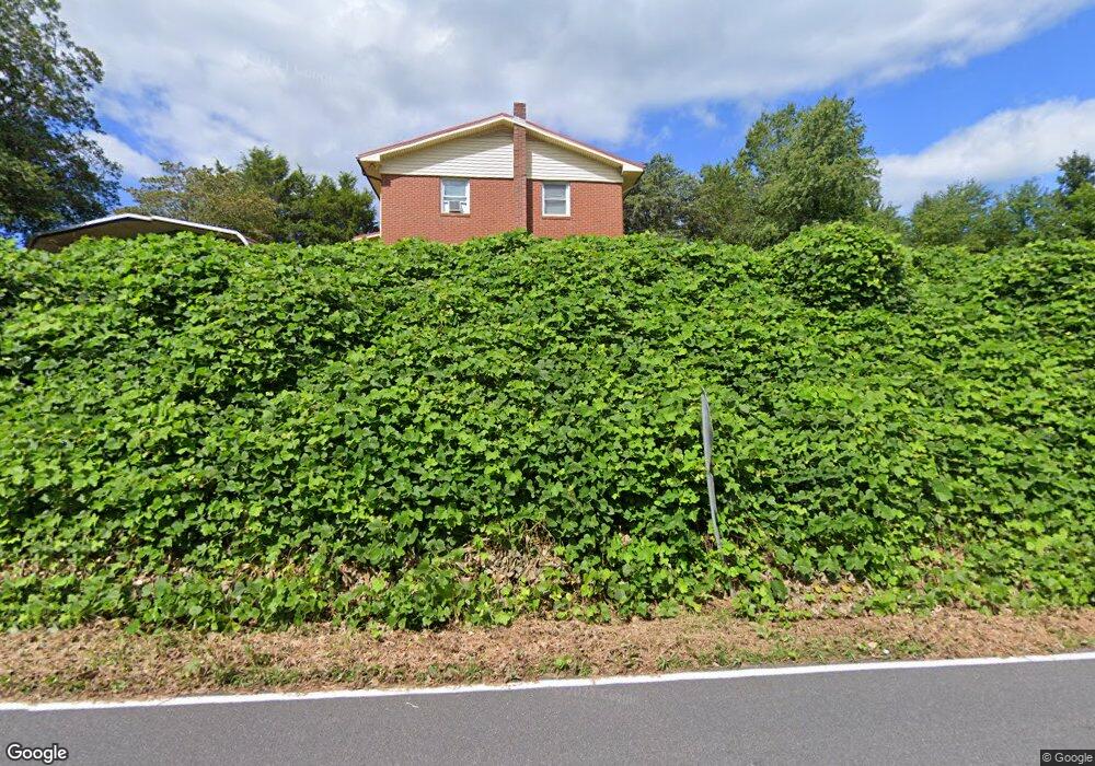
1911 McGimpsey Rd Morganton, NC 28655
Estimated Value: $216,000 - $453,000
3
Beds
1
Bath
1,566
Sq Ft
$196/Sq Ft
Est. Value
About This Home
This home is located at 1911 McGimpsey Rd, Morganton, NC 28655 and is currently estimated at $307,635, approximately $196 per square foot. 1911 McGimpsey Rd is a home located in Burke County with nearby schools including Oak Hill Elementary School, Table Rock Middle School, and Freedom High School.
Ownership History
Date
Name
Owned For
Owner Type
Purchase Details
Closed on
Apr 14, 2023
Sold by
Parks William Larry
Bought by
Parks William Larry and Parks Clara Helena
Current Estimated Value
Purchase Details
Closed on
Jan 27, 2010
Sold by
Mcgimpsey Margaret L Moore
Bought by
Parks William Larry
Purchase Details
Closed on
Jun 23, 2009
Sold by
Mcgimpsey Margaret
Bought by
Parks William Larry and Mcglimpsey Margaret
Create a Home Valuation Report for This Property
The Home Valuation Report is an in-depth analysis detailing your home's value as well as a comparison with similar homes in the area
Home Values in the Area
Average Home Value in this Area
Purchase History
| Date | Buyer | Sale Price | Title Company |
|---|---|---|---|
| Parks William Larry | -- | None Listed On Document | |
| Parks William Larry | -- | None Available | |
| Parks William Larry | -- | None Available |
Source: Public Records
Tax History Compared to Growth
Tax History
| Year | Tax Paid | Tax Assessment Tax Assessment Total Assessment is a certain percentage of the fair market value that is determined by local assessors to be the total taxable value of land and additions on the property. | Land | Improvement |
|---|---|---|---|---|
| 2025 | $1,113 | $160,773 | $23,797 | $136,976 |
| 2024 | $1,117 | $160,773 | $23,797 | $136,976 |
| 2023 | $1,117 | $160,773 | $23,797 | $136,976 |
| 2022 | $1,108 | $128,412 | $15,598 | $112,814 |
| 2021 | $1,104 | $128,412 | $15,598 | $112,814 |
| 2020 | $1,100 | $128,412 | $15,598 | $112,814 |
| 2019 | $1,100 | $128,412 | $15,598 | $112,814 |
| 2018 | $1,053 | $122,557 | $15,598 | $106,959 |
| 2017 | $1,052 | $122,557 | $15,598 | $106,959 |
| 2016 | $1,009 | $122,557 | $15,598 | $106,959 |
| 2015 | $1,006 | $122,557 | $15,598 | $106,959 |
| 2014 | $1,004 | $122,557 | $15,598 | $106,959 |
| 2013 | $992 | $122,557 | $15,598 | $106,959 |
Source: Public Records
Map
Nearby Homes
- 807 N Carolina 126
- 209 Eagles Landing
- 255 Eagles Landing
- 196 Eagles Landing
- 240 Doe Run
- 128 Forest Glen Way
- 109 Doe Run
- 2151 River Bend Ln
- 2040 River Bend Ln
- 192 Old Lumber Yard Rd
- 809 Pitts St
- 2937 Frank Whisnant Rd
- 1008 Faith Ct
- 1119 Greene Ct Unit 37
- 1077 Greene Ct Unit 34
- 1113 Greene Ct Unit 36
- 1015 Faith Ct
- 1037 Faith Ct
- 1095 Faith Ct
- 1096 Faith Ct
- 1900 McGimpsey Rd
- 1355 Nc 126
- 1522 Nc 126
- 1337 Nc 126
- 3598 N Carolina 126
- 1329 Nc 126
- 1489 Nc 126
- 1479 Nc 126
- 1540 Nc 126
- 1885 Watermill Rd
- 1871 Watermill Rd
- 1590 Nc 126 None
- a portion of 1590 Nc 126 None
- a portion of Nc 126 None
- 1590 Nc 126 Unit 1594
- 1855 Watermill Rd
- 1306 Nc 126
- 1831 Watermill Rd Unit 21
- 1594 Nc 126
- 1595 Nc 126