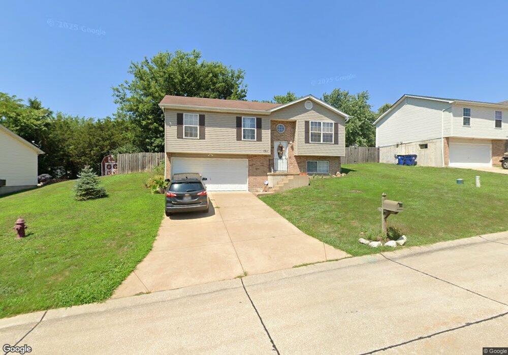
1911 McKinley Range Festus, MO 63028
Festus/Crystal City NeighborhoodEstimated Value: $265,000 - $289,000
3
Beds
2
Baths
1,040
Sq Ft
$265/Sq Ft
Est. Value
About This Home
This home is located at 1911 McKinley Range, Festus, MO 63028 and is currently estimated at $276,115, approximately $265 per square foot. 1911 McKinley Range is a home located in Jefferson County with nearby schools including Festus Elementary School, Festus Intermediate School, and Festus Middle School.
Ownership History
Date
Name
Owned For
Owner Type
Purchase Details
Closed on
Sep 4, 2009
Sold by
Cernik Aimee D and Cernik Scott
Bought by
Avers Andrew J and Edelman Malana A
Current Estimated Value
Home Financials for this Owner
Home Financials are based on the most recent Mortgage that was taken out on this home.
Original Mortgage
$127,187
Outstanding Balance
$83,475
Interest Rate
5.26%
Mortgage Type
FHA
Estimated Equity
$192,640
Purchase Details
Closed on
Oct 3, 2003
Sold by
K A B Construction Co Llc
Bought by
Tuholski Aimee D
Home Financials for this Owner
Home Financials are based on the most recent Mortgage that was taken out on this home.
Original Mortgage
$116,890
Interest Rate
6.24%
Mortgage Type
FHA
Create a Home Valuation Report for This Property
The Home Valuation Report is an in-depth analysis detailing your home's value as well as a comparison with similar homes in the area
Home Values in the Area
Average Home Value in this Area
Purchase History
| Date | Buyer | Sale Price | Title Company |
|---|---|---|---|
| Avers Andrew J | -- | Htc | |
| Tuholski Aimee D | -- | -- |
Source: Public Records
Mortgage History
| Date | Status | Borrower | Loan Amount |
|---|---|---|---|
| Open | Avers Andrew J | $127,187 | |
| Previous Owner | Tuholski Aimee D | $116,890 |
Source: Public Records
Tax History
| Year | Tax Paid | Tax Assessment Tax Assessment Total Assessment is a certain percentage of the fair market value that is determined by local assessors to be the total taxable value of land and additions on the property. | Land | Improvement |
|---|---|---|---|---|
| 2025 | $1,914 | $36,000 | $8,800 | $27,200 |
| 2024 | $1,914 | $33,800 | $8,800 | $25,000 |
| 2023 | $1,914 | $33,800 | $8,800 | $25,000 |
| 2022 | $1,903 | $33,800 | $8,800 | $25,000 |
| 2021 | $1,905 | $33,800 | $8,800 | $25,000 |
| 2020 | $1,821 | $30,300 | $8,000 | $22,300 |
| 2019 | $1,821 | $30,300 | $8,000 | $22,300 |
| 2018 | $1,642 | $30,300 | $8,000 | $22,300 |
| 2017 | $1,642 | $30,300 | $8,000 | $22,300 |
| 2016 | $1,454 | $26,700 | $6,400 | $20,300 |
| 2015 | $1,382 | $26,700 | $6,400 | $20,300 |
| 2013 | $1,382 | $26,400 | $6,400 | $20,000 |
Source: Public Records
Map
Nearby Homes
- 9 Dawson Ct
- 1434 Moose Pass
- 19 Parkville Ln
- 17 Parkville Ln
- 59 Jackson Cir
- 1604 Sugar Creek Dr
- 715 Tanglewood Acres
- 1605 Sugar Creek Dr
- 1810 Gardina Dr
- 1607 Sugar Creek Dr
- 1614 Sugar Creek Dr
- 120 Greenbrier Blvd
- 621 Westwood Dr S Unit A
- 45 Ashford Place
- 518 Westwood Place
- 61 Ashford Place
- 11787 Gamel Cemetery Rd
- 17 Ash Ct
- 0 Tbb Birchwood Overlook-Hickory
- 0 Tbb Birchwood Overlook -Pin Oa Unit MAR24022705
- 1915 McKinley Range
- 1907 McKinley Range
- 1912 Anchorage Dr
- 1908 Anchorage Dr
- 1919 McKinley Range
- 1916 Anchorage Dr
- 1922 McKinley Range
- 1918 McKinley Range
- 1926 McKinley Range
- 1920 Anchorage Dr
- 1906 McKinley Range
- 1930 McKinley Range
- 1902 McKinley Range
- 1923 McKinley Range
- 1914 McKinley Range
- 1910 McKinley Range
- 1934 McKinley Range
- 1907 Anchorage Dr
- 1924 Anchorage Dr
- 1911 Anchorage Dr
Your Personal Tour Guide
Ask me questions while you tour the home.