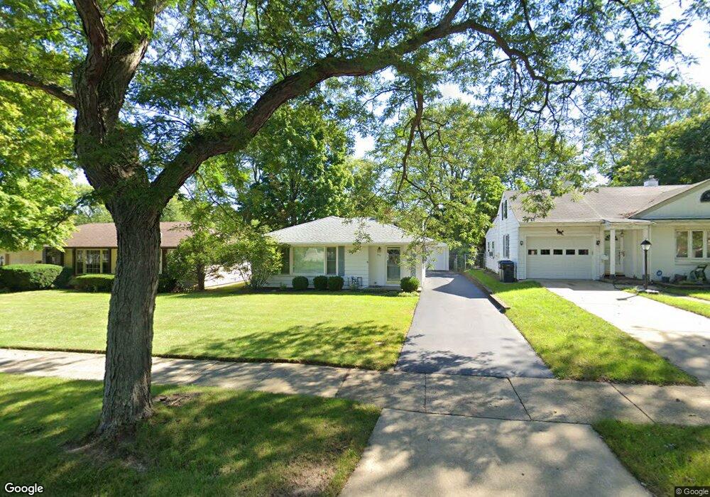
1911 N Poplar St Waukegan, IL 60087
Greenwood Park NeighborhoodEstimated Value: $232,000 - $235,000
3
Beds
1
Bath
1,241
Sq Ft
$188/Sq Ft
Est. Value
About This Home
This home is located at 1911 N Poplar St, Waukegan, IL 60087 and is currently estimated at $232,912, approximately $187 per square foot. 1911 N Poplar St is a home located in Lake County with nearby schools including Greenwood Elementary School, Edith M Smith Middle School, and Waukegan High School.
Ownership History
Date
Name
Owned For
Owner Type
Purchase Details
Closed on
Jun 27, 2008
Sold by
Pokett Sandra L
Bought by
Sandra L Pokett Trust
Current Estimated Value
Purchase Details
Closed on
May 24, 1994
Sold by
Chenot Charles and Chenot Lisa
Bought by
Pokett Sandra L
Home Financials for this Owner
Home Financials are based on the most recent Mortgage that was taken out on this home.
Original Mortgage
$62,000
Interest Rate
8.34%
Create a Home Valuation Report for This Property
The Home Valuation Report is an in-depth analysis detailing your home's value as well as a comparison with similar homes in the area
Home Values in the Area
Average Home Value in this Area
Purchase History
| Date | Buyer | Sale Price | Title Company |
|---|---|---|---|
| Sandra L Pokett Trust | -- | None Available | |
| Pokett Sandra L | $112,000 | Chicago Title Insurance Co |
Source: Public Records
Mortgage History
| Date | Status | Borrower | Loan Amount |
|---|---|---|---|
| Closed | Pokett Sandra L | $62,000 |
Source: Public Records
Tax History Compared to Growth
Tax History
| Year | Tax Paid | Tax Assessment Tax Assessment Total Assessment is a certain percentage of the fair market value that is determined by local assessors to be the total taxable value of land and additions on the property. | Land | Improvement |
|---|---|---|---|---|
| 2024 | $400 | $53,744 | $12,080 | $41,664 |
| 2023 | $3,237 | $48,496 | $10,901 | $37,595 |
| 2022 | $3,237 | $44,115 | $9,435 | $34,680 |
| 2021 | $963 | $39,568 | $8,415 | $31,153 |
| 2020 | $1,047 | $36,863 | $7,840 | $29,023 |
| 2019 | $1,135 | $33,779 | $7,184 | $26,595 |
| 2018 | $1,270 | $31,760 | $10,168 | $21,592 |
| 2017 | $1,324 | $28,099 | $8,996 | $19,103 |
| 2016 | $1,428 | $24,417 | $7,817 | $16,600 |
| 2015 | $1,561 | $21,853 | $6,996 | $14,857 |
| 2014 | $1,706 | $20,239 | $6,135 | $14,104 |
| 2012 | $2,675 | $21,926 | $6,646 | $15,280 |
Source: Public Records
Map
Nearby Homes
- 1905 Linden Ave
- 616 W Keith Ave
- 1018 W Atlantic Ave
- 2232 Walnut St
- 1336 N Ash St
- 1335 Chestnut St
- 1312 N Linden Ave
- 2246 Alta Vista Dr
- 2213 Alta Vista Dr
- 301 W Eagle Ct
- 1110 N Ash St
- 1105 Woodlawn Cir
- 1504 W Glen Flora Ave
- 0 Traditions Dr
- 415 W Ridgeland Ave
- 1117 Judge Ave
- 918 N Ash St
- 1000 Pine St
- 917 N Linden Ave
- 2008 Harding Ave
- 1905 N Poplar St
- 1915 N Poplar St
- 705 Colville Place
- 1901 N Poplar St
- 1910 Ash St
- 1906 Ash St
- 1914 Ash St
- 1902 Ash St
- 703 Colville Place
- 1906 N Poplar St
- 1914 N Poplar St
- 1848 Ash St
- 1918 N Poplar St
- 1841 N Poplar St
- 708 Colville Place
- 1844 Ash St
- 742 Golf Rd
- 746 Golf Rd
- 1937 N Poplar St
- 750 Golf Rd