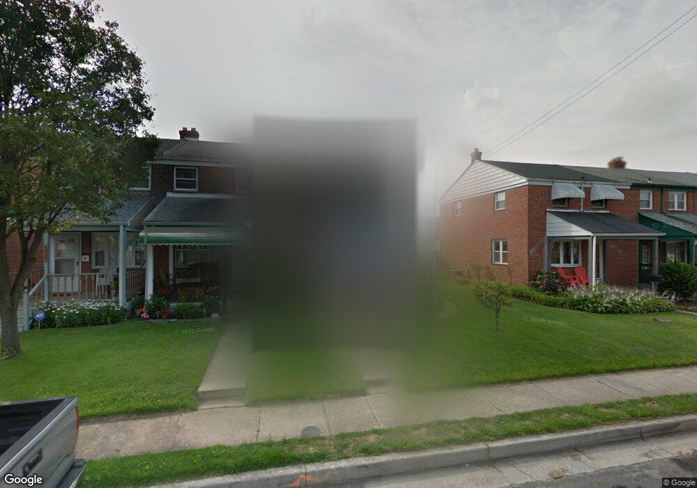
1911 Ormand Rd Dundalk, MD 21222
Estimated Value: $169,000 - $230,000
3
Beds
1
Bath
1,008
Sq Ft
$202/Sq Ft
Est. Value
About This Home
This home is located at 1911 Ormand Rd, Dundalk, MD 21222 and is currently estimated at $203,664, approximately $202 per square foot. 1911 Ormand Rd is a home located in Baltimore County with nearby schools including Grange Elementary School, General John Stricker Middle School, and Patapsco High & Center for Arts.
Ownership History
Date
Name
Owned For
Owner Type
Purchase Details
Closed on
Jan 30, 2012
Sold by
Kelch Bernard P and Evans Darlene L
Bought by
Evans Darlene L and Evans Edris
Current Estimated Value
Purchase Details
Closed on
Jul 24, 2006
Sold by
Kelch Lillian M
Bought by
Kelch Lillian M
Purchase Details
Closed on
Jul 7, 2006
Sold by
Kelch Lillian M
Bought by
Kelch Lillian M
Purchase Details
Closed on
Apr 12, 2001
Sold by
Kelch Bernhardt A
Bought by
Kelch Bernhardt P and Evans Darlene L
Purchase Details
Closed on
Sep 26, 1994
Sold by
Bank Of Baltimore
Bought by
Kelch Bernhardt A
Create a Home Valuation Report for This Property
The Home Valuation Report is an in-depth analysis detailing your home's value as well as a comparison with similar homes in the area
Home Values in the Area
Average Home Value in this Area
Purchase History
| Date | Buyer | Sale Price | Title Company |
|---|---|---|---|
| Evans Darlene L | $73,334 | Mlss Title | |
| Kelch Lillian M | -- | -- | |
| Kelch Lillian M | -- | -- | |
| Kelch Bernhardt P | -- | -- | |
| Kelch Bernhardt A | $1,600 | -- |
Source: Public Records
Tax History
| Year | Tax Paid | Tax Assessment Tax Assessment Total Assessment is a certain percentage of the fair market value that is determined by local assessors to be the total taxable value of land and additions on the property. | Land | Improvement |
|---|---|---|---|---|
| 2025 | $2,897 | $146,300 | -- | -- |
| 2024 | $2,897 | $134,800 | $0 | $0 |
| 2023 | $2,693 | $123,300 | $38,000 | $85,300 |
| 2022 | $2,630 | $121,233 | $0 | $0 |
| 2021 | $2,590 | $119,167 | $0 | $0 |
| 2020 | $2,590 | $117,100 | $38,000 | $79,100 |
| 2019 | $2,214 | $114,133 | $0 | $0 |
| 2018 | $2,498 | $111,167 | $0 | $0 |
| 2017 | $2,274 | $108,200 | $0 | $0 |
| 2016 | $1,691 | $108,200 | $0 | $0 |
| 2015 | $1,691 | $108,200 | $0 | $0 |
| 2014 | $1,691 | $118,900 | $0 | $0 |
Source: Public Records
Map
Nearby Homes
- 2782 Moorgate Rd
- 2811 Moorgate Rd
- 1935 Stanhope Rd
- 1930 Stanhope Rd
- 1954 Stanhope Rd
- 2012 Wareham Rd
- 1911 Sunberry Rd
- 7252 Meadow Ln
- 7807 Rockbourne Rd
- 7832 Rockbourne Rd
- 7849 Harold Rd
- 1940H Robinwood Rd
- 9 Vista Mobile Dr
- 7111 Sollers Point Rd
- 7512 School Ave
- 2924 Sollers Point Rd
- 8101 Shore Rd
- 8201 Seaworthy Way
- 7449 Lawrence Rd Unit D
- 2953 Yorkway
- 1913 Ormand Rd
- 1915 Ormand Rd
- 1917 Ormand Rd
- 1909 Ormand Rd
- 1919 Ormand Rd
- 1907 Ormand Rd
- 1921 Ormand Rd
- 1905 Ormand Rd
- 1903 Ormand Rd
- 1923 Ormand Rd
- 1912 Holborn Rd
- 1914 Holborn Rd
- 1910 Holborn Rd
- 1901 Ormand Rd
- 1916 Holborn Rd
- 1908 Holborn Rd
- 1925 Ormand Rd
- 1918 Holborn Rd
- 1906 Holborn Rd
- 1920 Holborn Rd
Your Personal Tour Guide
Ask me questions while you tour the home.