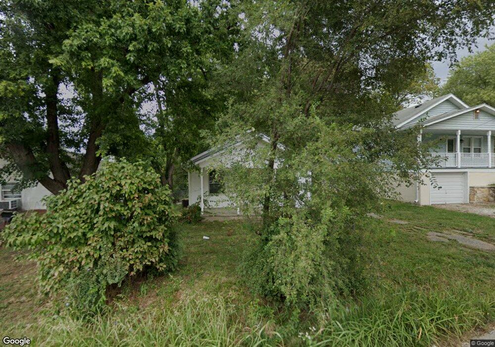
1911 Oscar St Saint Joseph, MO 64505
Northside NeighborhoodEstimated Value: $98,717 - $144,000
Studio
--
Bath
864
Sq Ft
$144/Sq Ft
Est. Value
About This Home
This home is located at 1911 Oscar St, Saint Joseph, MO 64505 and is currently estimated at $124,679, approximately $144 per square foot. 1911 Oscar St is a home located in Buchanan County with nearby schools including Pershing Elementary School, Robidoux Middle School, and Lafayette High School.
Ownership History
Date
Name
Owned For
Owner Type
Purchase Details
Closed on
Mar 1, 2023
Sold by
Joint Sprague F and Joint Roma
Bought by
Lackey Ronnie W
Current Estimated Value
Purchase Details
Closed on
Jun 16, 2021
Sold by
Omeara Todd
Bought by
Garcia Maria
Purchase Details
Closed on
Dec 21, 2005
Sold by
Omeara William K and Omeara Linda L
Bought by
Omeara Todd
Home Financials for this Owner
Home Financials are based on the most recent Mortgage that was taken out on this home.
Original Mortgage
$28,500
Interest Rate
6.3%
Mortgage Type
Future Advance Clause Open End Mortgage
Create a Home Valuation Report for This Property
The Home Valuation Report is an in-depth analysis detailing your home's value as well as a comparison with similar homes in the area
Home Values in the Area
Average Home Value in this Area
Purchase History
| Date | Buyer | Sale Price | Title Company |
|---|---|---|---|
| Lackey Ronnie W | -- | First American Title | |
| Garcia Maria | -- | Advantage Title Llc | |
| Omeara Todd | -- | Hall Abstract & Title Co Inc |
Source: Public Records
Mortgage History
| Date | Status | Borrower | Loan Amount |
|---|---|---|---|
| Previous Owner | Omeara Todd | $28,500 |
Source: Public Records
Tax History
| Year | Tax Paid | Tax Assessment Tax Assessment Total Assessment is a certain percentage of the fair market value that is determined by local assessors to be the total taxable value of land and additions on the property. | Land | Improvement |
|---|---|---|---|---|
| 2025 | $510 | $7,110 | $1,170 | $5,940 |
| 2024 | $546 | $7,630 | $1,170 | $6,460 |
| 2023 | $546 | $7,630 | $1,170 | $6,460 |
| 2022 | $504 | $7,630 | $1,170 | $6,460 |
| 2021 | $506 | $7,630 | $1,170 | $6,460 |
| 2020 | $503 | $7,630 | $1,170 | $6,460 |
| 2019 | $486 | $7,630 | $1,170 | $6,460 |
| 2018 | $439 | $7,630 | $1,170 | $6,460 |
| 2017 | $435 | $7,630 | $0 | $0 |
| 2015 | $0 | $7,630 | $0 | $0 |
| 2014 | $476 | $7,630 | $0 | $0 |
Source: Public Records
Map
Nearby Homes
- 1714 Blackwell Rd
- 1613 Clifford St
- 5518 Karrasch St
- 4112 Miller Rd
- 4502 Orchard Rd
- 2715 Cook Rd
- 903 Cook Rd
- 6007 Savannah Rd
- 4214 W Haverill St
- 2502 Flintstone Dr
- 6008 N 23rd Street Terrace
- 2814 Blackwell Rd
- 1101 Myrtle Ave
- 4716 NE Amazonia Rd
- 1110 NE County Line Rd
- 28 Court Ln
- 3413 W Colony Square
- 3309 Westwood Dr
- 3502 Saint Joseph Ave
- 1302 Randolph St
Your Personal Tour Guide
Ask me questions while you tour the home.