1911 Rain Drop Cir Spearfish, SD 57783
Estimated Value: $331,395 - $446,000
About This Home
This home is located at 1911 Rain Drop Cir, Spearfish, SD 57783 and is currently estimated at $392,599, approximately $434 per square foot. 1911 Rain Drop Cir is a home with nearby schools including West Elementary School, Creekside Elementary School, and Mountain View Elementary - 08.
Ownership History
We collect this data history from publicly available records. To have your information removed, we recommend requesting removal directly through your county’s website.
Purchase Details
Purchase Details
Home Financials for this Owner
Home Financials are based on the most recent Mortgage that was taken out on this home.Purchase Details
Home Financials for this Owner
Home Financials are based on the most recent Mortgage that was taken out on this home.Home Values in the Area
Average Home Value in this Area
Purchase History
We collect this data history from publicly available records. To have your information removed, we recommend requesting removal directly through your county’s website.
| Date | Buyer | Sale Price | Title Company |
|---|---|---|---|
| -- | -- | ||
| -- | -- | ||
| -- | -- |
Mortgage History
We collect this data history from publicly available records. To have your information removed, we recommend requesting removal directly through your county’s website.
| Date | Status | Borrower | Loan Amount |
|---|---|---|---|
| Previous Owner | $97,875 | ||
| Previous Owner | $103,500 |
Tax History
We collect this data history from publicly available records. To have your information removed, we recommend requesting removal directly through your county’s website.
| Year | Tax Paid | Tax Assessment Tax Assessment Total Assessment is a certain percentage of the fair market value that is determined by local assessors to be the total taxable value of land and additions on the property. | Land | Improvement |
|---|---|---|---|---|
| 2025 | $3,916 | $299,600 | $43,330 | $256,270 |
| 2024 | $4,281 | $308,310 | $43,330 | $264,980 |
| 2023 | $4,358 | $285,730 | $36,330 | $249,400 |
| 2022 | $4,326 | $263,480 | $36,330 | $227,150 |
| 2021 | $3,556 | $277,930 | $0 | $0 |
| 2019 | $3,156 | $200,700 | $29,050 | $171,650 |
| 2018 | $3,143 | $187,620 | $0 | $0 |
| 2017 | $3,061 | $181,960 | $0 | $0 |
| 2016 | $3,067 | $181,960 | $0 | $0 |
| 2015 | $3,095 | $169,180 | $0 | $0 |
| 2014 | $2,905 | $144,990 | $0 | $0 |
| 2013 | -- | $151,300 | $0 | $0 |
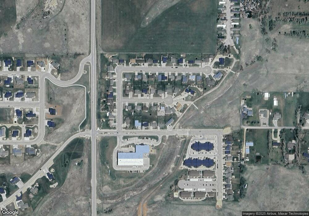
Map
- 1708 Riverview Cir
- 1708 River View Cir
- 2147 Talisker Ave
- 134 Valley Dr
- 2258 Talisker Ave
- 3103 E Fairgrounds Loop
- TBD Green Spot Ln
- 235 Upper Valley Rd
- 3225 Old Belle Rd
- 2220 Arrowhead Cir Unit 2220 Arrowhead Circl
- 262 Upper Valley Rd
- 6 Pearson Dr
- 7 Horseshoe Ln
- 2639 Carmelo Ct
- 2667 Carmelo Ct
- 16 Nickel Place
- 4 Swan Ln
- 103 Vale Rd
- 2910 Sapphire Ln
- TBD Lot 18 Russell St
- 1817 Rain Drop Cir
- 1915 Rain Drop Cir
- 1818 Tumble Weed Trail
- 1919 Rain Drop Cir
- 1814 Tumble Weed Trail
- 1910 Rain Drop Circle None
- 1910 Rain Drop Cir
- 1912 Tumble Weed Trail
- 1813 Rain Drop Cir
- 1820 Rain Drop Cir
- 1810 Tumble Weed Trail
- 1916 Tumbleweed Trail
- 1916 Tumble Weed Trail
- 1816 Rain Drop Cir
- 1918 Rain Drop Cir
- 1923 Rain Drop Cir
- 1809 Rain Drop Cir
- 1809 Rain Drop Cir
- 2620 River View Cir
- 1819 River View Cir
Ask me questions while you tour the home.