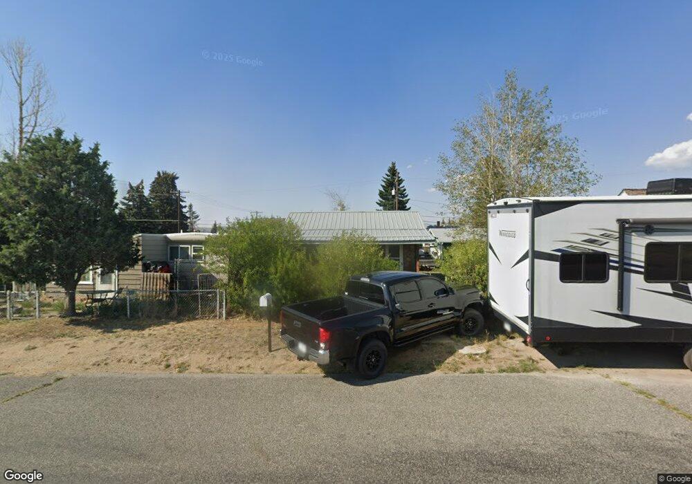
1911 Sampson St Butte, MT 59701
Bellevue NeighborhoodEstimated Value: $173,000 - $218,000
About This Home
This home is located at 1911 Sampson St, Butte, MT 59701 and is currently estimated at $196,805, approximately $339 per square foot. 1911 Sampson St is a home located in Silver Bow County with nearby schools including Margaret Leary School, East Middle School, and Butte High School.
Ownership History
We collect this data history from publicly available records. To have your information removed, we recommend requesting removal directly through your county’s website.
Purchase Details
Purchase Details
Purchase Details
Home Values in the Area
Average Home Value in this Area
Purchase History
We collect this data history from publicly available records. To have your information removed, we recommend requesting removal directly through your county’s website.
| Date | Buyer | Sale Price | Title Company |
|---|---|---|---|
| -- | -- | ||
| -- | -- | ||
| $11,950 | -- |
Tax History
We collect this data history from publicly available records. To have your information removed, we recommend requesting removal directly through your county’s website.
| Year | Tax Paid | Tax Assessment Tax Assessment Total Assessment is a certain percentage of the fair market value that is determined by local assessors to be the total taxable value of land and additions on the property. | Land | Improvement |
|---|---|---|---|---|
| 2025 | $1,638 | $181,800 | $0 | $0 |
| 2024 | $1,792 | $141,000 | $0 | $0 |
| 2023 | $1,784 | $141,000 | $0 | $0 |
| 2022 | $1,494 | $84,200 | $0 | $0 |
| 2021 | $933 | $84,200 | $0 | $0 |
| 2020 | $1,392 | $69,500 | $0 | $0 |
| 2019 | $1,382 | $69,500 | $0 | $0 |
| 2018 | $1,230 | $58,800 | $0 | $0 |
| 2017 | $596 | $58,800 | $0 | $0 |
| 2016 | $1,097 | $54,300 | $0 | $0 |
| 2015 | $573 | $54,300 | $0 | $0 |
| 2014 | $1,118 | $32,913 | $0 | $0 |
Map
- 1920 Dewey Blvd
- 3001 Busch St
- 1700 Dewey Blvd
- Tbd Harrison Ave
- 1636 Schley Ave
- 1610 Gilman Ave
- 3101 Wynne Ave Unit 3A
- 3134 Wynne Ave
- 1801 Yale Ave
- 3141 Wynne Ave Unit C5
- 3141 Wynne Ave Unit B4
- 3141 Wynne Ave Unit B-1
- 3320 Busch St
- 3313 Monroe Ave
- 1353 Dewey Blvd
- 2420 Harvard Ave
- 1112 Dewey Blvd
- 1105 Schley Ave Unit A
- 1105 Schley Ave Unit B
- 1727 A St
- 1935 Sampson St
- 1939 Sampson St
- 1925 Sampson St
- 1941 Sampson St
- 1917 Sampson St
- 1930 Dewey Blvd
- 1918 Dewey Blvd
- 1936 Dewey Blvd
- 2903 Sanders St
- 1916 Dewey Blvd
- 1920 Sampson St
- 1910 Sampson St
- 1914 Dewey Blvd
- 1900 Sampson St
- 2910 Sanders St
- 2923 Sanders St
- 2921 Busch St
- 2920 Sanders St
- 2001 Sampson St
- 1864 Dewey Blvd
Ask me questions while you tour the home.