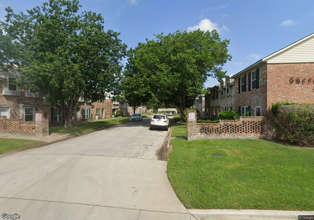
1911 Sherwood Forest St Unit 20 Houston, TX 77043
Spring Branch West NeighborhoodEstimated Value: $124,000 - $169,000
2
Beds
2
Baths
1,072
Sq Ft
$137/Sq Ft
Est. Value
About This Home
This home is located at 1911 Sherwood Forest St Unit 20, Houston, TX 77043 and is currently estimated at $146,947, approximately $137 per square foot. 1911 Sherwood Forest St Unit 20 is a home located in Harris County with nearby schools including Sherwood Elementary School, Spring Oaks Middle School, and Spring Woods High School.
Ownership History
Date
Name
Owned For
Owner Type
Purchase Details
Closed on
May 12, 2006
Sold by
Neidner James Q
Bought by
Eden Maureen
Current Estimated Value
Home Financials for this Owner
Home Financials are based on the most recent Mortgage that was taken out on this home.
Original Mortgage
$50,000
Outstanding Balance
$28,892
Interest Rate
6.36%
Mortgage Type
Fannie Mae Freddie Mac
Estimated Equity
$118,055
Create a Home Valuation Report for This Property
The Home Valuation Report is an in-depth analysis detailing your home's value as well as a comparison with similar homes in the area
Home Values in the Area
Average Home Value in this Area
Purchase History
| Date | Buyer | Sale Price | Title Company |
|---|---|---|---|
| Eden Maureen | -- | Alamo Title Company |
Source: Public Records
Mortgage History
| Date | Status | Borrower | Loan Amount |
|---|---|---|---|
| Open | Eden Maureen | $50,000 |
Source: Public Records
Tax History Compared to Growth
Tax History
| Year | Tax Paid | Tax Assessment Tax Assessment Total Assessment is a certain percentage of the fair market value that is determined by local assessors to be the total taxable value of land and additions on the property. | Land | Improvement |
|---|---|---|---|---|
| 2025 | -- | $128,008 | $24,322 | $103,686 |
| 2024 | -- | $128,008 | $24,322 | $103,686 |
| 2023 | $2,120 | $128,008 | $24,322 | $103,686 |
| 2022 | $2,112 | $104,199 | $19,798 | $84,401 |
| 2021 | $2,005 | $82,771 | $15,726 | $67,045 |
| 2020 | $1,871 | $82,771 | $15,726 | $67,045 |
| 2019 | $1,777 | $80,703 | $15,334 | $65,369 |
| 2018 | $0 | $73,488 | $13,963 | $59,525 |
| 2017 | $1,468 | $67,543 | $12,833 | $54,710 |
| 2016 | $1,334 | $55,411 | $10,528 | $44,883 |
| 2015 | $266 | $51,300 | $9,747 | $41,553 |
| 2014 | $266 | $51,340 | $9,755 | $41,585 |
Source: Public Records
Map
Nearby Homes
- 1911 Sherwood Forest St Unit 14
- 1911 Sherwood Forest St Unit 10
- 10965 Fire Creek Dr
- 1915 Upland Sky Ln
- 1966 Upland Dr
- 11002 Upland Forest Dr
- 1985 Sherwood Forest St
- 1843 Wycliffe Dr
- 1841 Wycliffe Dr
- 11012 Avenu Malkenu Ave
- 10971 Swang Link Dr
- 1909 Monaco Memorial Ln
- 11053 Chatterton Dr
- 2111 Wycliffe Dr
- 11069 Chatterton Dr
- 11061 Chatterton Dr
- 11057 Chatterton Dr
- 10910 Wrenwood Green
- 1811 Upland Lakes
- 1701 Upland Dr Unit 216
- 1911 Sherwood Forest St Unit 9
- 1911 Sherwood Forest St Unit 15
- 1911 Sherwood Forest St Unit 4
- 1911 Sherwood Forest St Unit 2
- 1911 Sherwood Forest St Unit 3
- 1911 Sherwood Forest St Unit 19
- 1911 Sherwood Forest St Unit 18
- 1911 Sherwood Forest St Unit 17
- 1911 Sherwood Forest St Unit 16
- 1911 Sherwood Forest St Unit 13
- 1911 Sherwood Forest St Unit 12
- 1911 Sherwood Forest St Unit 11
- 1911 Sherwood Forest St Unit 32
- 1911 Sherwood Forest St Unit 31
- 1911 Sherwood Forest St Unit 30
- 1911 Sherwood Forest St Unit 29
- 1911 Sherwood Forest St Unit 28
- 1911 Sherwood Forest St Unit 27
- 1911 Sherwood Forest St Unit 25
- 1911 Sherwood Forest St Unit 24