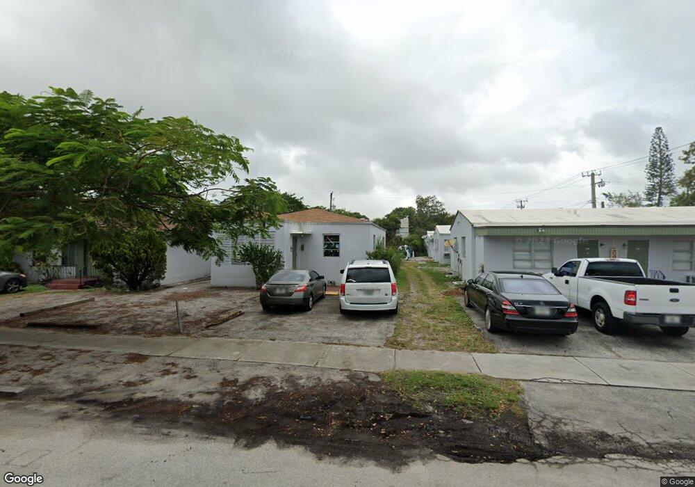
1911 Taylor St Hollywood, FL 33020
Royal Poinciana NeighborhoodEstimated Value: $217,000 - $758,000
2
Beds
1
Bath
1,632
Sq Ft
$280/Sq Ft
Est. Value
About This Home
This home is located at 1911 Taylor St, Hollywood, FL 33020 and is currently estimated at $456,153, approximately $279 per square foot. 1911 Taylor St is a home located in Broward County with nearby schools including Dania Elementary School, Olsen Middle School, and South Broward High School.
Ownership History
Date
Name
Owned For
Owner Type
Purchase Details
Closed on
May 13, 2025
Sold by
1911 Taylor Ave Llc and Steiner Mendel
Bought by
Grape Tree Lending Llc
Current Estimated Value
Purchase Details
Closed on
Jun 15, 2022
Sold by
1610 North Dixie Highway Llc
Bought by
1911 Taylor Ave Llc
Home Financials for this Owner
Home Financials are based on the most recent Mortgage that was taken out on this home.
Original Mortgage
$3,262,500
Interest Rate
5.09%
Mortgage Type
Construction
Purchase Details
Closed on
Apr 2, 1998
Sold by
Wohl Thomas M
Bought by
Hollywood Investment Group Inc
Home Financials for this Owner
Home Financials are based on the most recent Mortgage that was taken out on this home.
Original Mortgage
$60,000
Interest Rate
6.95%
Purchase Details
Closed on
Aug 29, 1997
Sold by
Petras Joseph
Bought by
Wohl Thomas M
Create a Home Valuation Report for This Property
The Home Valuation Report is an in-depth analysis detailing your home's value as well as a comparison with similar homes in the area
Home Values in the Area
Average Home Value in this Area
Purchase History
| Date | Buyer | Sale Price | Title Company |
|---|---|---|---|
| Grape Tree Lending Llc | $2,600,100 | -- | |
| 1911 Taylor Ave Llc | -- | Jeffrey Zwick & Associates Pc | |
| Hollywood Investment Group Inc | $75,000 | -- | |
| Wohl Thomas M | $100 | -- | |
| Wohl Thomas M | $55,000 | -- |
Source: Public Records
Mortgage History
| Date | Status | Borrower | Loan Amount |
|---|---|---|---|
| Previous Owner | 1911 Taylor Ave Llc | $3,262,500 | |
| Previous Owner | Wohl Thomas M | $60,000 |
Source: Public Records
Tax History Compared to Growth
Tax History
| Year | Tax Paid | Tax Assessment Tax Assessment Total Assessment is a certain percentage of the fair market value that is determined by local assessors to be the total taxable value of land and additions on the property. | Land | Improvement |
|---|---|---|---|---|
| 2025 | $3,178 | $135,280 | $38,170 | $97,110 |
| 2024 | $3,133 | $135,280 | $38,170 | $97,110 |
| 2023 | $3,133 | $133,250 | $38,170 | $95,080 |
| 2022 | $4,409 | $146,280 | $0 | $0 |
| 2021 | $3,894 | $132,990 | $0 | $0 |
| 2020 | $3,599 | $240,500 | $38,170 | $202,330 |
| 2019 | $3,280 | $207,640 | $38,170 | $169,470 |
| 2018 | $3,041 | $206,870 | $38,170 | $168,700 |
| 2017 | $2,553 | $90,840 | $0 | $0 |
| 2016 | $2,290 | $82,590 | $0 | $0 |
| 2015 | $1,994 | $75,090 | $0 | $0 |
| 2014 | $1,780 | $68,270 | $0 | $0 |
| 2013 | -- | $65,860 | $35,440 | $30,420 |
Source: Public Records
Map
Nearby Homes
- 1817 Taylor St Unit 1614
- 1817 Taylor St Unit 1211
- 1817 Taylor St Unit 1503
- 1817 Taylor St Unit 1207
- 1817 Taylor St Unit 1109
- 1817 Taylor St Unit 1812
- 1817 Taylor St Unit 1806
- 1817 Taylor St Unit 1615
- 1817 Taylor St Unit 1204
- 1817 Taylor St Unit 1602
- 1817 Taylor St Unit 1101
- 1930 Pierce St
- 1830 Radius Dr Unit 810
- 1830 Radius Dr Unit 516
- 1830 Radius Dr Unit 1301
- 1830 Radius Dr Unit 609
- 1830 Radius Dr Unit 308
- 1830 Radius Dr Unit 604
- 1830 Radius Dr Unit 1024
- 1830 Radius Dr Unit 909
- 1911 Taylor St
- 1911 Taylor St Unit B32
- 1926 Taylor St
- 1913 Taylor St Unit 1
- 1913 Taylor St
- 410 N 19th Ave Unit 410
- 400 N 19th Ave Unit 418
- 400 N 19th Ave Unit 412
- 400 N 19th Ave Unit 406
- 400 N 19th Ave Unit 414
- 400 N 19th Ave Unit 404
- 400 N 19th Ave Unit 424
- 400 N 19th Ave Unit 410
- 400 N 19th Ave Unit 420
- 414 N 19th Ave Unit 412
- 430 N 19th Ave Unit 424
- 1912 Fillmore St
- 432 N 19th Ave Unit 410
- 432 N 19th Ave Unit 444
- 432 N 19th Ave Unit 442