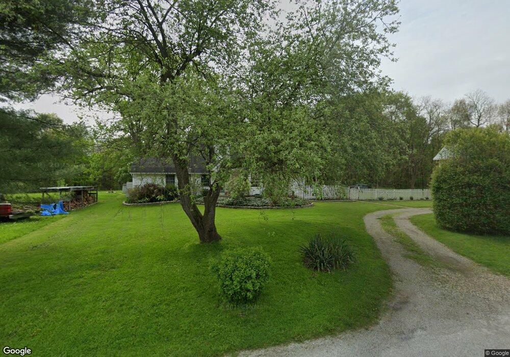
19115 Udall Rd Garrettsville, OH 44231
Estimated Value: $231,260 - $293,000
4
Beds
2
Baths
2,294
Sq Ft
$111/Sq Ft
Est. Value
About This Home
This home is located at 19115 Udall Rd, Garrettsville, OH 44231 and is currently estimated at $254,065, approximately $110 per square foot. 19115 Udall Rd is a home located in Geauga County with nearby schools including Berkshire Elementary School, Berkshire High School, and Frams Corner.
Ownership History
Date
Name
Owned For
Owner Type
Purchase Details
Closed on
Feb 5, 1999
Sold by
Jackson Scott V and Duffield Shelly L
Bought by
Jackson Scott and Duffield Shelly L
Current Estimated Value
Purchase Details
Closed on
Aug 8, 1995
Sold by
Ronald A Pilacik Est
Bought by
Jackson Scott V and Duffield Shelley
Home Financials for this Owner
Home Financials are based on the most recent Mortgage that was taken out on this home.
Original Mortgage
$76,500
Interest Rate
7.56%
Mortgage Type
New Conventional
Purchase Details
Closed on
Jan 1, 1990
Bought by
Sullivan Lillyon
Create a Home Valuation Report for This Property
The Home Valuation Report is an in-depth analysis detailing your home's value as well as a comparison with similar homes in the area
Home Values in the Area
Average Home Value in this Area
Purchase History
| Date | Buyer | Sale Price | Title Company |
|---|---|---|---|
| Jackson Scott | -- | Western Reserve Title Compan | |
| Jackson Scott V | $85,000 | -- | |
| Sullivan Lillyon | -- | -- |
Source: Public Records
Mortgage History
| Date | Status | Borrower | Loan Amount |
|---|---|---|---|
| Closed | Jackson Scott V | $76,500 |
Source: Public Records
Tax History Compared to Growth
Tax History
| Year | Tax Paid | Tax Assessment Tax Assessment Total Assessment is a certain percentage of the fair market value that is determined by local assessors to be the total taxable value of land and additions on the property. | Land | Improvement |
|---|---|---|---|---|
| 2024 | $2,292 | $62,160 | $12,670 | $49,490 |
| 2023 | $2,292 | $62,160 | $12,670 | $49,490 |
| 2022 | $2,008 | $49,600 | $10,570 | $39,030 |
| 2021 | $2,023 | $49,600 | $10,570 | $39,030 |
| 2020 | $1,923 | $49,600 | $10,570 | $39,030 |
| 2019 | $1,648 | $44,800 | $10,570 | $34,230 |
| 2018 | $1,794 | $44,800 | $10,570 | $34,230 |
| 2017 | $1,648 | $44,800 | $10,570 | $34,230 |
| 2016 | $1,417 | $38,960 | $10,570 | $28,390 |
| 2015 | $1,322 | $38,960 | $10,570 | $28,390 |
| 2014 | $1,322 | $38,960 | $10,570 | $28,390 |
| 2013 | $1,308 | $38,960 | $10,570 | $28,390 |
Source: Public Records
Map
Nearby Homes
- 7991 Norton Rd
- 12928 State Route 88
- 12954 State Route 88
- 12947 Brosius Rd
- 12707 Brosius Rd
- 12525 Brosius Rd
- 12157 State Route 88
- 19109 Tilden Rd
- 14020 Kimpton Trail
- 16169 Mccall Rd
- 18386 Mills Rd
- 7972 State Route 305
- 11838 Brosius Rd
- 0 Garfield Rd
- 6846 Wakefield Rd
- SR 82 Ohio 82
- Parcel C Nash Rd
- 0 Nash Rd Unit 5142384
- 11383 Rolling Meadows Dr
- Lot 7 Wheeler Rd
- 19175 Udall Rd
- 14769 Grove Rd
- 14813 Grove Rd
- 14813 Grove Rd
- 14843 Grove Rd
- 19166 Udall Rd
- 14800 Grove Rd
- 14869 Grove Rd
- 19092 Mumford Rd
- 14780 Grove Rd
- 19082 Mumford Rd
- 19176 Mumford Rd
- 14709 Grove Rd
- 19125 Mumford Rd
- 19198 Mumford Rd
- 19145 Mumford Rd
- 14738 Grove Rd
- 19196 Udall Rd
- 19165 Mumford Rd
- 14900 Grove Rd