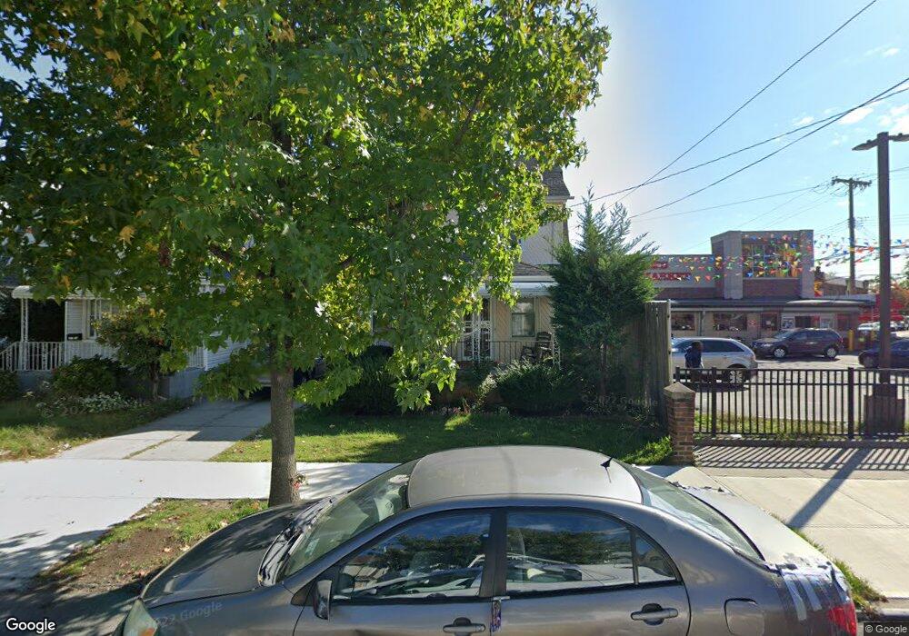
19118 112th Rd Saint Albans, NY 11412
Hollis NeighborhoodEstimated Value: $693,000 - $709,000
--
Bed
--
Bath
1,568
Sq Ft
$446/Sq Ft
Est. Value
About This Home
This home is located at 19118 112th Rd, Saint Albans, NY 11412 and is currently estimated at $700,003, approximately $446 per square foot. 19118 112th Rd is a home located in Queens County with nearby schools including P.S. 118 Lorraine Hansberry, I.S. 192 The Linden, and Riverton Street Charter School.
Ownership History
Date
Name
Owned For
Owner Type
Purchase Details
Closed on
Dec 19, 2012
Sold by
Terry Marian A and Terry Sandy E
Bought by
Rousseau Fernande
Current Estimated Value
Home Financials for this Owner
Home Financials are based on the most recent Mortgage that was taken out on this home.
Original Mortgage
$333,841
Outstanding Balance
$231,079
Interest Rate
3.35%
Mortgage Type
New Conventional
Estimated Equity
$468,924
Purchase Details
Closed on
Dec 13, 1993
Sold by
Brown Mary Jane
Bought by
Terry Marian A and Terry Sandy E
Create a Home Valuation Report for This Property
The Home Valuation Report is an in-depth analysis detailing your home's value as well as a comparison with similar homes in the area
Home Values in the Area
Average Home Value in this Area
Purchase History
| Date | Buyer | Sale Price | Title Company |
|---|---|---|---|
| Rousseau Fernande | $340,000 | -- | |
| Terry Marian A | -- | -- |
Source: Public Records
Mortgage History
| Date | Status | Borrower | Loan Amount |
|---|---|---|---|
| Open | Rousseau Fernande | $333,841 |
Source: Public Records
Tax History Compared to Growth
Tax History
| Year | Tax Paid | Tax Assessment Tax Assessment Total Assessment is a certain percentage of the fair market value that is determined by local assessors to be the total taxable value of land and additions on the property. | Land | Improvement |
|---|---|---|---|---|
| 2025 | $4,638 | $24,473 | $9,600 | $14,873 |
| 2024 | $4,638 | $23,090 | $8,514 | $14,576 |
| 2023 | $4,638 | $23,090 | $8,385 | $14,705 |
| 2022 | $4,451 | $41,700 | $15,840 | $25,860 |
| 2021 | $4,549 | $37,140 | $15,840 | $21,300 |
| 2020 | $4,316 | $31,920 | $15,840 | $16,080 |
| 2019 | $4,025 | $30,780 | $15,840 | $14,940 |
| 2018 | $3,922 | $19,242 | $12,153 | $7,089 |
| 2017 | $3,787 | $18,578 | $11,567 | $7,011 |
| 2016 | $3,601 | $18,578 | $11,567 | $7,011 |
| 2015 | $2,114 | $16,995 | $9,686 | $7,309 |
| 2014 | $2,114 | $16,035 | $9,045 | $6,990 |
Source: Public Records
Map
Nearby Homes
- 191-40 112th Rd
- 190-59 112th Ave
- 190-63 112th Ave
- 19022 111th Rd
- 194-16 112th Ave
- 194-29 112th Ave
- 194- 24 111th Rd
- 18833 Keeseville Ave
- 111-06 Farmers Blvd
- 19432 113th Rd
- 19404 110th Rd
- 19427 Murdock Ave
- 188-31 Jordan Ave
- 188-25 Mangin Ave
- 187-44 Jordan Ave
- 18823 Mangin Ave
- 18908 114th Rd
- 19445 Murdock Ave
- 191-16 114th Rd
- 191-34 114th Rd
- 191-18 112th Rd
- 19120 112th Rd
- 191-20 112th Rd
- 191-24 112th Rd
- 19124 112th Rd
- 11255 Farmers Blvd
- 19128 112th Rd
- 19115 113th Ave
- 19117 113th Ave
- 19130 112th Rd
- 191-17 112th Rd
- 11231 Farmers Blvd
- 19121 113th Ave
- 19121 112th Rd
- 19121 112th Rd
- 19115 112th Rd
- 19117 112th Rd
- 11229 Farmers Blvd
- 19111 112th Rd
- 191-21 113th Ave