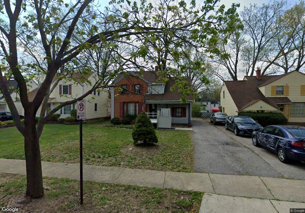
19118 Wickfield Ave Warrensville Heights, OH 44122
Estimated Value: $109,936 - $142,000
3
Beds
1
Bath
1,199
Sq Ft
$109/Sq Ft
Est. Value
About This Home
This home is located at 19118 Wickfield Ave, Warrensville Heights, OH 44122 and is currently estimated at $131,234, approximately $109 per square foot. 19118 Wickfield Ave is a home located in Cuyahoga County with nearby schools including John Dewey Elementary School, Warrensville Heights Middle School, and Warrensville Heights High School.
Ownership History
Date
Name
Owned For
Owner Type
Purchase Details
Closed on
Jul 3, 2024
Sold by
Eldar Moran and Sigler Yaniv
Bought by
19118 Wickfield Ave Llc
Current Estimated Value
Purchase Details
Closed on
May 7, 2024
Sold by
Sheriff Of Cuyahoga County
Bought by
Eldar Moran and Sigler Yaniv
Purchase Details
Closed on
Mar 21, 2018
Sold by
The Ecuyahoga County Land Reutilization
Bought by
Paige Nakata B
Purchase Details
Closed on
Jan 1, 1975
Bought by
Paige Norman
Create a Home Valuation Report for This Property
The Home Valuation Report is an in-depth analysis detailing your home's value as well as a comparison with similar homes in the area
Home Values in the Area
Average Home Value in this Area
Purchase History
| Date | Buyer | Sale Price | Title Company |
|---|---|---|---|
| 19118 Wickfield Ave Llc | -- | None Listed On Document | |
| Eldar Moran | $76,100 | None Listed On Document | |
| Paige Nakata B | -- | None Available | |
| Paige Norman | -- | -- |
Source: Public Records
Tax History Compared to Growth
Tax History
| Year | Tax Paid | Tax Assessment Tax Assessment Total Assessment is a certain percentage of the fair market value that is determined by local assessors to be the total taxable value of land and additions on the property. | Land | Improvement |
|---|---|---|---|---|
| 2024 | $1,944 | $38,150 | $7,630 | $30,520 |
| 2023 | $1,289 | $24,150 | $5,810 | $18,340 |
| 2022 | $1,331 | $24,150 | $5,810 | $18,340 |
| 2021 | $1,309 | $24,150 | $5,810 | $18,340 |
| 2020 | $1,165 | $20,650 | $4,970 | $15,680 |
| 2019 | $1,140 | $59,000 | $14,200 | $44,800 |
| 2018 | $1,148 | $20,650 | $4,970 | $15,680 |
| 2017 | $940 | $18,170 | $3,540 | $14,630 |
| 2016 | $928 | $18,170 | $3,540 | $14,630 |
| 2015 | $1,764 | $18,170 | $3,540 | $14,630 |
| 2014 | $1,764 | $21,110 | $4,100 | $17,010 |
Source: Public Records
Map
Nearby Homes
- 19110 Lanbury Ave
- 19302 Shakerwood Rd
- 3846 E 189th St
- 3696 Tolland Rd
- 19901 Lanbury Ave
- 3676 Rawnsdale Rd
- 19912 Lanbury Ave
- 3635 Tolland Rd
- 3717 Gridley Rd
- 3651 Rawnsdale Rd
- 3609 Stoer Rd
- 19112 Kings Hwy
- 3656 Latimore Rd
- 19024 Lomond Blvd
- 18302 Scottsdale Blvd
- 18515 Lomond Blvd
- 18107 Scottsdale Blvd
- 19617 Lomond Blvd
- 18112 Lomond Blvd
- 19615 Harvard Ave
- 19204 Wickfield Ave
- 19114 Wickfield Ave
- 19110 Wickfield Ave
- 19208 Wickfield Ave
- 19106 Wickfield Ave
- 19212 Wickfield Ave
- 19119 Lanbury Ave
- 19115 Lanbury Ave
- 19205 Lanbury Ave
- 19111 Lanbury Ave
- 19209 Lanbury Ave
- 19100 Wickfield Ave
- 19218 Wickfield Ave
- 19119 Wickfield Ave
- 19107 Lanbury Ave
- 19205 Wickfield Ave
- 19115 Wickfield Ave
- 19213 Lanbury Ave
- 19111 Wickfield Ave
- 19209 Wickfield Ave