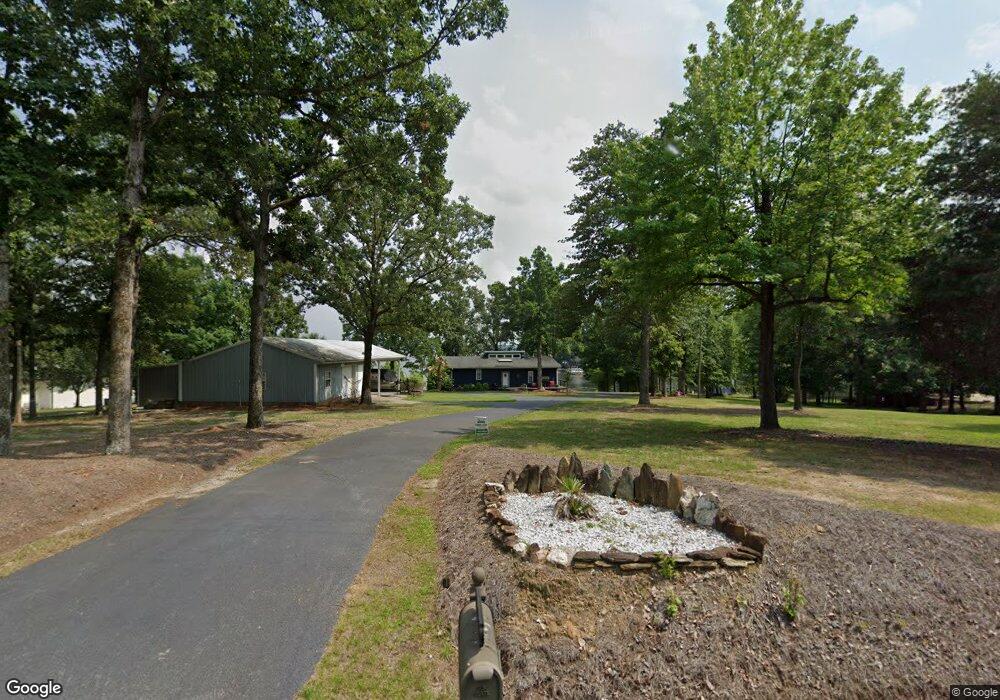
1912 Amick Dr Gilbert, SC 29054
Estimated Value: $771,000 - $1,172,000
2
Beds
3
Baths
1,701
Sq Ft
$585/Sq Ft
Est. Value
About This Home
This home is located at 1912 Amick Dr, Gilbert, SC 29054 and is currently estimated at $995,168, approximately $585 per square foot. 1912 Amick Dr is a home located in Lexington County with nearby schools including Centerville Elementary School, Gilbert Middle School, and Gilbert High School.
Ownership History
Date
Name
Owned For
Owner Type
Purchase Details
Closed on
Oct 14, 2020
Sold by
Lown Jeffrey N
Bought by
Lown Jeffery N and Lown Beverly D
Current Estimated Value
Purchase Details
Closed on
Apr 27, 2012
Sold by
Ward James A and Ward Martha J
Bought by
Lown Jeffrey N and Lown Beverly D
Home Financials for this Owner
Home Financials are based on the most recent Mortgage that was taken out on this home.
Original Mortgage
$352,000
Interest Rate
3.62%
Mortgage Type
Adjustable Rate Mortgage/ARM
Create a Home Valuation Report for This Property
The Home Valuation Report is an in-depth analysis detailing your home's value as well as a comparison with similar homes in the area
Home Values in the Area
Average Home Value in this Area
Purchase History
We collect this data history from publicly available records. To have your information removed, we recommend requesting removal directly through your county’s website.
| Date | Buyer | Sale Price | Title Company |
|---|---|---|---|
| Lown Jeffery N | -- | Frederick I Hall Iii Pa | |
| Lown Jeffrey N | $440,000 | -- |
Source: Public Records
Mortgage History
We collect this data history from publicly available records. To have your information removed, we recommend requesting removal directly through your county’s website.
| Date | Status | Borrower | Loan Amount |
|---|---|---|---|
| Previous Owner | Lown Jeffrey N | $352,000 |
Source: Public Records
Tax History
| Year | Tax Paid | Tax Assessment Tax Assessment Total Assessment is a certain percentage of the fair market value that is determined by local assessors to be the total taxable value of land and additions on the property. | Land | Improvement |
|---|---|---|---|---|
| 2024 | $4,319 | $26,485 | $22,560 | $3,925 |
| 2023 | $3,956 | $26,485 | $22,560 | $3,925 |
| 2022 | $3,945 | $26,485 | $22,560 | $3,925 |
| 2020 | $2,518 | $16,485 | $12,600 | $3,885 |
| 2019 | $2,442 | $15,707 | $11,760 | $3,947 |
| 2018 | $2,397 | $15,707 | $11,760 | $3,947 |
| 2017 | $2,325 | $15,707 | $11,760 | $3,947 |
| 2016 | $2,304 | $15,707 | $11,760 | $3,947 |
| 2014 | $2,469 | $17,599 | $14,000 | $3,599 |
| 2013 | -- | $17,600 | $14,000 | $3,600 |
Source: Public Records
Map
Nearby Homes
- 180 Lillian St
- 1464 Bombing Range Rd
- 1459 Bombing Range Rd
- 1233 Shull Island Rd
- 1223 Shull Island Rd
- 1305 Rock Island Rd
- 1148 Shull Island Rd
- 116 Aloha Ct
- 335 Calypso Rd
- 2056 Amicks Ferry Rd
- 132 Magnolia Key Dr
- 417 Dot Ct
- 1148 Indian Summer Point
- 100 Pointe Overlook Dr
- 115 Pointe Overlook Dr
- 120 Magnolia Key Dr
- 118 Club Ct
- 404 Jasmine Key Ln
- 124 Bowyer Ln
- 309 Holly Key Ln
- 1920 Amick Dr
- 1920 Amick Dr
- 1902 Amick Dr
- 1924 Amick Dr
- 1928 Amick Dr
- 0 Shull Ave Unit 528845
- 0 Shull Ave Unit 2/2A
- 1820 Shull Ave
- 1930 Amick Dr
- 1915 Shull Ave
- 1808 Shull Ave
- 1825 Harmon St
- 1831 Harmon St
- 1936 Amick Dr
- 1829 Shull Ave
- 1808 Harmon St
- 1933 Shull Ave
- 1824 Harmon St
- 1830 Harmon St
- 1721 Amanda Dr
Your Personal Tour Guide
Ask me questions while you tour the home.