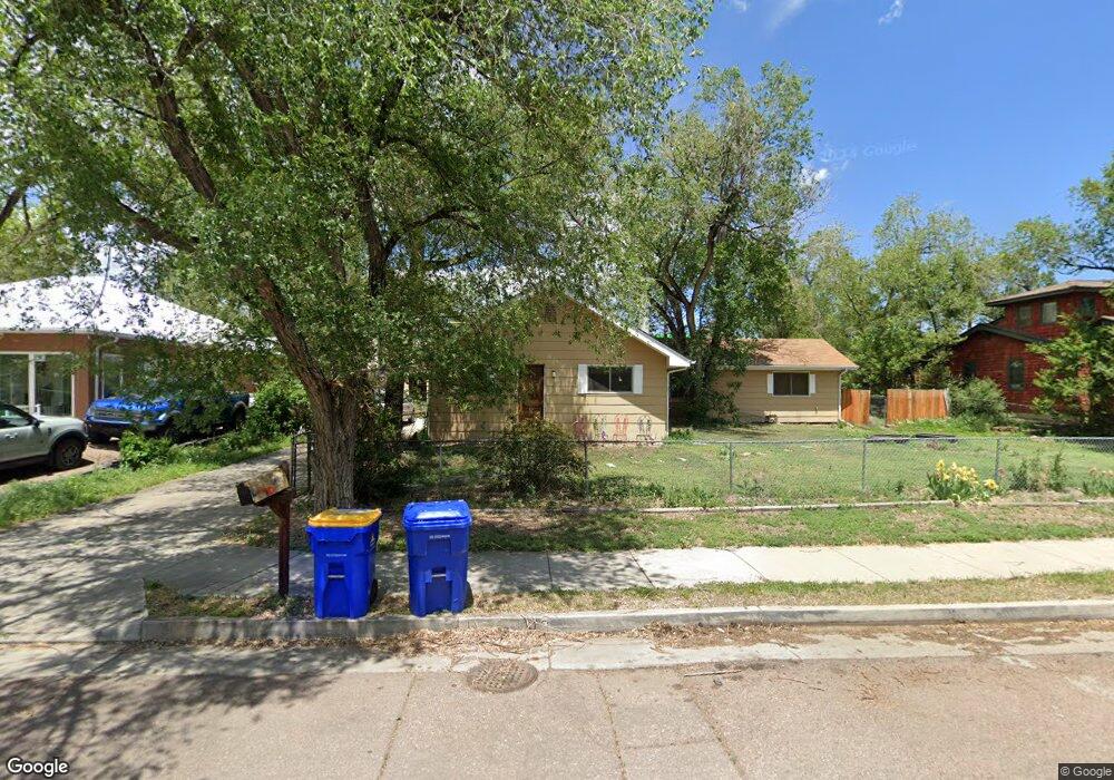
1912 Armstrong Ave Colorado Springs, CO 80904
Westside NeighborhoodEstimated Value: $453,000 - $562,000
3
Beds
2
Baths
1,584
Sq Ft
$312/Sq Ft
Est. Value
About This Home
This home is located at 1912 Armstrong Ave, Colorado Springs, CO 80904 and is currently estimated at $494,250, approximately $312 per square foot. 1912 Armstrong Ave is a home located in El Paso County with nearby schools including West Elementary School, West Middle School, and Coronado High School.
Ownership History
Date
Name
Owned For
Owner Type
Purchase Details
Closed on
Oct 27, 2003
Sold by
Ruch Michael F and Ruch Kimberly A
Bought by
Ruch Michael F and Newland Kimberly A
Current Estimated Value
Home Financials for this Owner
Home Financials are based on the most recent Mortgage that was taken out on this home.
Original Mortgage
$191,000
Outstanding Balance
$88,487
Interest Rate
5.99%
Mortgage Type
Unknown
Estimated Equity
$405,763
Purchase Details
Closed on
Aug 26, 1998
Sold by
Lujan Juan R and Lujan Rosalie O
Bought by
Ruch Michael F and Ruch Kimberly A
Home Financials for this Owner
Home Financials are based on the most recent Mortgage that was taken out on this home.
Original Mortgage
$106,200
Interest Rate
6.9%
Purchase Details
Closed on
Feb 1, 1978
Bought by
Newland Kimberly A
Create a Home Valuation Report for This Property
The Home Valuation Report is an in-depth analysis detailing your home's value as well as a comparison with similar homes in the area
Home Values in the Area
Average Home Value in this Area
Purchase History
| Date | Buyer | Sale Price | Title Company |
|---|---|---|---|
| Ruch Michael F | -- | Springs Title | |
| Ruch Michael F | $118,000 | Land Title | |
| Newland Kimberly A | -- | -- |
Source: Public Records
Mortgage History
| Date | Status | Borrower | Loan Amount |
|---|---|---|---|
| Open | Ruch Michael F | $191,000 | |
| Closed | Ruch Michael F | $106,200 |
Source: Public Records
Tax History Compared to Growth
Tax History
| Year | Tax Paid | Tax Assessment Tax Assessment Total Assessment is a certain percentage of the fair market value that is determined by local assessors to be the total taxable value of land and additions on the property. | Land | Improvement |
|---|---|---|---|---|
| 2025 | $1,515 | $34,450 | -- | -- |
| 2024 | $1,401 | $31,690 | $5,160 | $26,530 |
| 2022 | $1,155 | $20,640 | $3,570 | $17,070 |
| 2021 | $1,253 | $21,240 | $3,670 | $17,570 |
| 2020 | $1,253 | $18,460 | $3,120 | $15,340 |
| 2019 | $1,246 | $18,460 | $3,120 | $15,340 |
| 2018 | $1,085 | $14,790 | $2,880 | $11,910 |
| 2017 | $1,028 | $14,790 | $2,880 | $11,910 |
| 2016 | $835 | $14,400 | $3,180 | $11,220 |
| 2015 | $832 | $14,400 | $3,180 | $11,220 |
| 2014 | $796 | $13,220 | $2,870 | $10,350 |
Source: Public Records
Map
Nearby Homes
- 1302 Mirrillion Heights
- 1728 Armstrong Ave
- 1347 Mirrillion Heights
- 1447 Madison Ridge Heights
- 1447 Madison Ridge Heights Unit E
- 806 N 19th St
- 2242 Stepping Stones Way Unit 10
- 1431 Madison Ridge Heights Unit C
- 2225 Stepping Stones Way Unit F
- 2150 Glenn St
- 2248 Glenn St
- 1716 W Kiowa St
- 2387 Stepping Stones Way
- 2309 W Monument St
- 1823 W Pikes Peak Ave
- 961 Columbine Ave
- 1522 Manitou Blvd
- 2312 W Platte Ave
- 972 Columbine Ave
- 2109 W Pikes Peak Ave
- 1902 Armstrong Ave
- 1918 Armstrong Ave
- 412 N 19th St
- 1924 Armstrong Ave
- 2010 Armstrong Ave
- 409 Pearl St
- 1836 Armstrong Ave
- 1928 Armstrong Ave
- 406 N 19th St
- 1834 Armstrong Ave
- 411 Pearl St
- 415 N 19th St
- 402 N 19th St
- 412 Pearl St
- 1830 Armstrong Ave
- 1938 Armstrong Ave
- 405 N 19th St
- 322 N 19th St
- 303 Pearl St
- 312 Pearl St