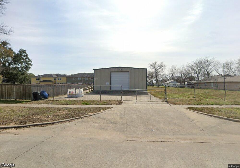
1912 Avenue M Rosenberg, TX 77471
--
Bed
--
Bath
2,400
Sq Ft
0.31
Acres
About This Home
This home is located at 1912 Avenue M, Rosenberg, TX 77471. 1912 Avenue M is a home located in Fort Bend County with nearby schools including Taylor Ray Elementary School, Navarro Middle School, and George Junior High School.
Ownership History
Date
Name
Owned For
Owner Type
Purchase Details
Closed on
Aug 27, 2008
Sold by
Deavers Development Lp
Bought by
Tof Ventures Llc
Home Financials for this Owner
Home Financials are based on the most recent Mortgage that was taken out on this home.
Original Mortgage
$150,000
Outstanding Balance
$98,666
Interest Rate
6.29%
Mortgage Type
Purchase Money Mortgage
Purchase Details
Closed on
Apr 2, 2004
Sold by
Rosprim Mark R and Rosprim Yvonne G
Bought by
Tof Ventures Llc
Create a Home Valuation Report for This Property
The Home Valuation Report is an in-depth analysis detailing your home's value as well as a comparison with similar homes in the area
Home Values in the Area
Average Home Value in this Area
Purchase History
| Date | Buyer | Sale Price | Title Company |
|---|---|---|---|
| Tof Ventures Llc | -- | Stewart Title Richmond | |
| Tof Ventures Llc | -- | -- |
Source: Public Records
Mortgage History
| Date | Status | Borrower | Loan Amount |
|---|---|---|---|
| Open | Tof Ventures Llc | $150,000 |
Source: Public Records
Tax History Compared to Growth
Tax History
| Year | Tax Paid | Tax Assessment Tax Assessment Total Assessment is a certain percentage of the fair market value that is determined by local assessors to be the total taxable value of land and additions on the property. | Land | Improvement |
|---|---|---|---|---|
| 2025 | $4,071 | $220,490 | $66,415 | $154,075 |
| 2024 | $4,071 | $215,525 | $66,415 | $149,110 |
| 2023 | $3,935 | $203,814 | $53,160 | $150,654 |
| 2022 | $3,441 | $168,000 | $53,160 | $114,840 |
| 2021 | $3,319 | $159,960 | $44,910 | $115,050 |
| 2020 | $3,374 | $158,960 | $44,600 | $114,360 |
| 2019 | $2,963 | $129,730 | $22,440 | $107,290 |
| 2018 | $3,016 | $129,940 | $22,440 | $107,500 |
| 2017 | $3,024 | $129,580 | $22,440 | $107,140 |
| 2016 | $3,125 | $133,870 | $22,440 | $111,430 |
| 2015 | $3,157 | $134,550 | $22,440 | $112,110 |
| 2014 | $3,242 | $136,530 | $22,440 | $114,090 |
Source: Public Records
Map
Nearby Homes
- 2513 3rd St
- 1030 4th St
- 1517 4th St
- 1314 2nd St
- 1401 5th St
- 1314 1st St
- 1004 Houston St
- 2606 Wastelbread Ln
- 2523 Good Morrow Dr
- 2527 Good Morrow Dr
- 2622 Good Morrow Dr
- 2507 Good Morrow Dr
- 2614 Good Morrow Dr
- 1418 Carlisle St
- 1410 8th St
- 1613 Mulcahy St
- 2409 Avenue K
- 905 5th St
- 901 5th St
- 1400 Dyer Ave
- 0 Avenue M
- 2013 Broadview Cir
- 2009 Broadview Cir
- 2005 Broadview Cir
- 0000 3rd St
- 2207 3rd St
- 1917 Avenue N
- 1917 Avenue N
- 1500 4th St
- 2017 Broadview Cir
- 2021 Broadview Cir
- 1910 Avenue M
- 2025 Broadview Cir
- 2029 Broadview Cir
- 1419 3rd St
- 1418 3rd St
- 2004 Broadview Cir
- 0000 4th St
- 2008 Broadview Cir
- 2012 Broadview Cir