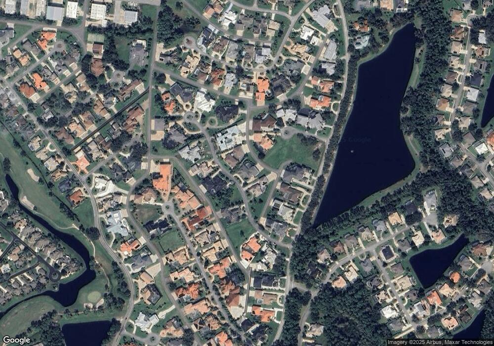
1912 Canadair Ct Unit IIIE Port Orange, FL 32128
Samsula-Spruce Creek NeighborhoodEstimated Value: $1,203,000 - $1,593,788
4
Beds
3
Baths
5,848
Sq Ft
$240/Sq Ft
Est. Value
About This Home
This home is located at 1912 Canadair Ct Unit IIIE, Port Orange, FL 32128 and is currently estimated at $1,402,947, approximately $239 per square foot. 1912 Canadair Ct Unit IIIE is a home located in Volusia County with nearby schools including Cypress Creek Elementary School, Creekside Middle School, and Spruce Creek High School.
Ownership History
Date
Name
Owned For
Owner Type
Purchase Details
Closed on
Dec 15, 2010
Sold by
Omaley David B and Omaley Karen G
Bought by
Carlson Christopher A and Carlson Vivienne A
Current Estimated Value
Home Financials for this Owner
Home Financials are based on the most recent Mortgage that was taken out on this home.
Original Mortgage
$417,000
Outstanding Balance
$274,942
Interest Rate
4.18%
Mortgage Type
New Conventional
Estimated Equity
$1,128,005
Purchase Details
Closed on
Aug 1, 1996
Sold by
M H K Volusia Cty Inc
Bought by
Bernstein Philip A and Seravalli Donna Maria
Purchase Details
Closed on
Apr 15, 1992
Bought by
Carlson Christopher A
Create a Home Valuation Report for This Property
The Home Valuation Report is an in-depth analysis detailing your home's value as well as a comparison with similar homes in the area
Home Values in the Area
Average Home Value in this Area
Purchase History
| Date | Buyer | Sale Price | Title Company |
|---|---|---|---|
| Carlson Christopher A | $1,000,000 | Attorney | |
| Bernstein Philip A | $208,600 | -- | |
| Carlson Christopher A | $117,000 | -- |
Source: Public Records
Mortgage History
| Date | Status | Borrower | Loan Amount |
|---|---|---|---|
| Open | Carlson Christopher A | $417,000 |
Source: Public Records
Tax History Compared to Growth
Tax History
| Year | Tax Paid | Tax Assessment Tax Assessment Total Assessment is a certain percentage of the fair market value that is determined by local assessors to be the total taxable value of land and additions on the property. | Land | Improvement |
|---|---|---|---|---|
| 2025 | $17,288 | $1,051,305 | -- | -- |
| 2024 | $17,288 | $1,021,678 | -- | -- |
| 2023 | $17,288 | $991,920 | $0 | $0 |
| 2022 | $17,132 | $963,029 | $0 | $0 |
| 2021 | $17,750 | $934,980 | $0 | $0 |
| 2020 | $17,511 | $922,071 | $461,000 | $461,071 |
| 2019 | $22,568 | $1,081,007 | $507,000 | $574,007 |
| 2018 | $23,092 | $1,086,357 | $425,000 | $661,357 |
| 2017 | $22,474 | $1,022,205 | $366,000 | $656,205 |
| 2016 | $22,253 | $954,306 | $0 | $0 |
| 2015 | $20,906 | $860,808 | $0 | $0 |
| 2014 | $19,237 | $796,175 | $0 | $0 |
Source: Public Records
Map
Nearby Homes
- 2660 Slow Flight Dr
- 1766 Roscoe Turner Trail
- 2707 Winterford Dr
- 2672 E Spruce Creek Blvd
- 2584 E Spruce Creek Blvd
- 2633 Slow Flight Dr
- 2916 Cypress Ridge Trail
- 1981 Rutgers Place
- 1981 Rutgers Place Unit 49
- 3158 Royal Birkdale Way
- 1991 Rutgers Place Unit 44
- 6096 Jasmine Vine Dr
- 2012 Cornell Place
- 1888 Seclusion Dr
- 2016 Cornell Place
- 6096 Sabal Brook Way
- 6127 Sabal Point Cir
- 1889 Seclusion Dr
- 1405 Florida Moss Ln
- 1795 Earhart Ct
- 1917 Canadair Ct
- 1908 Canadair Ct
- 1916 Canadair Ct
- 1809 Avanti Ct
- 1921 Canadair Ct
- 1920 Canadair Ct
- 1913 Canadair Ct
- 1925 Canadair Ct
- 2713 Spruce Creek Blvd
- 1808 Avanti Ct
- 2717 Spruce Creek Blvd
- 2717 E Spruce Creek Blvd
- 1929 Canadair Ct
- 1924 Canadair Ct
- 2721 Spruce Creek Blvd
- 2032 King Air Ct
- 1804 Avanti Ct
- 2028 King Air Ct
- 2036 King Air Ct
- 1905 Canadair Ct
