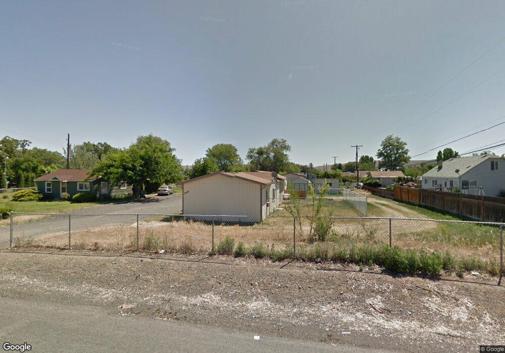
1912 Carey St Union Gap, WA 98903
Estimated Value: $212,000 - $329,000
2
Beds
1
Bath
819
Sq Ft
$325/Sq Ft
Est. Value
About This Home
This home is located at 1912 Carey St, Union Gap, WA 98903 and is currently estimated at $266,177, approximately $325 per square foot. 1912 Carey St is a home located in Yakima County with nearby schools including Martin Luther King Jr. Elementary School, Lewis & Clark Middle School, and Davis High School.
Ownership History
Date
Name
Owned For
Owner Type
Purchase Details
Closed on
Oct 29, 2007
Sold by
Line Brian L
Bought by
Huff Jeffery C
Current Estimated Value
Home Financials for this Owner
Home Financials are based on the most recent Mortgage that was taken out on this home.
Original Mortgage
$111,000
Outstanding Balance
$69,831
Interest Rate
6.27%
Mortgage Type
Purchase Money Mortgage
Estimated Equity
$196,346
Purchase Details
Closed on
Mar 31, 1993
Sold by
Whitehurst Timothy J and Whitehurst Andrea M
Bought by
Line Brian L
Create a Home Valuation Report for This Property
The Home Valuation Report is an in-depth analysis detailing your home's value as well as a comparison with similar homes in the area
Home Values in the Area
Average Home Value in this Area
Purchase History
| Date | Buyer | Sale Price | Title Company |
|---|---|---|---|
| Huff Jeffery C | $111,100 | Valley Title Company | |
| Line Brian L | $30,000 | Yakima Title Company |
Source: Public Records
Mortgage History
| Date | Status | Borrower | Loan Amount |
|---|---|---|---|
| Open | Huff Jeffery C | $111,000 |
Source: Public Records
Tax History Compared to Growth
Tax History
| Year | Tax Paid | Tax Assessment Tax Assessment Total Assessment is a certain percentage of the fair market value that is determined by local assessors to be the total taxable value of land and additions on the property. | Land | Improvement |
|---|---|---|---|---|
| 2025 | $2,125 | $233,400 | $60,100 | $173,300 |
| 2023 | $1,832 | $135,200 | $29,100 | $106,100 |
| 2022 | $1,364 | $127,100 | $29,100 | $98,000 |
| 2021 | $1,274 | $111,400 | $29,100 | $82,300 |
| 2019 | $899 | $88,900 | $29,100 | $59,800 |
| 2018 | $1,005 | $82,000 | $29,100 | $52,900 |
| 2017 | $858 | $74,400 | $29,100 | $45,300 |
| 2016 | $1,005 | $74,100 | $29,000 | $45,100 |
| 2015 | $1,005 | $76,000 | $29,000 | $47,000 |
| 2014 | $1,005 | $76,700 | $29,000 | $47,700 |
| 2013 | $1,005 | $76,700 | $29,000 | $47,700 |
Source: Public Records
Map
Nearby Homes
- 1812 S 18th St
- 1710 Rudkin Rd
- 1706 S 18th St
- 18 W Washington Ave Unit 61
- 18 W Washington Ave Unit 76
- 18 W Washington Ave Unit 69
- 1903 Simpson Ln
- 1702 S 13th St
- 1910 Boggess St
- 812 E Tennant Ln
- 1600 Pacific Ave
- 500 Richards Rd
- 1305 S 7th St
- 207 W Oak St
- 2007 Longfibre Rd
- 403 W Ahtanum Rd
- 55 W Washington Ave Unit 153
- 55 W Washington Ave Unit 174
- 55 W Washington Ave Unit 80
- 55 W Washington Ave Unit 202