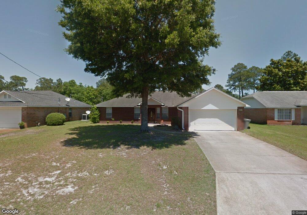
1912 Coral Island Rd Pensacola, FL 32506
Southwest Pensacola NeighborhoodEstimated Value: $278,170 - $344,000
--
Bed
3
Baths
1,901
Sq Ft
$167/Sq Ft
Est. Value
About This Home
This home is located at 1912 Coral Island Rd, Pensacola, FL 32506 and is currently estimated at $318,293, approximately $167 per square foot. 1912 Coral Island Rd is a home located in Escambia County with nearby schools including Pleasant Grove Elementary School, Jim C. Bailey Middle School, and Escambia High School.
Ownership History
Date
Name
Owned For
Owner Type
Purchase Details
Closed on
Feb 14, 1997
Sold by
Henry Co Homes Inc
Bought by
Ferrer Israel A and Ferrer Erlinda P
Current Estimated Value
Home Financials for this Owner
Home Financials are based on the most recent Mortgage that was taken out on this home.
Original Mortgage
$109,000
Outstanding Balance
$12,680
Interest Rate
7.88%
Mortgage Type
VA
Estimated Equity
$305,613
Purchase Details
Closed on
Oct 14, 1996
Sold by
C C Family Ltd Ptnr
Bought by
H L O T Family Ltd Ptnr
Create a Home Valuation Report for This Property
The Home Valuation Report is an in-depth analysis detailing your home's value as well as a comparison with similar homes in the area
Home Values in the Area
Average Home Value in this Area
Purchase History
| Date | Buyer | Sale Price | Title Company |
|---|---|---|---|
| Ferrer Israel A | $106,900 | -- | |
| H L O T Family Ltd Ptnr | $41,000 | -- |
Source: Public Records
Mortgage History
| Date | Status | Borrower | Loan Amount |
|---|---|---|---|
| Open | Ferrer Israel A | $109,000 |
Source: Public Records
Tax History Compared to Growth
Tax History
| Year | Tax Paid | Tax Assessment Tax Assessment Total Assessment is a certain percentage of the fair market value that is determined by local assessors to be the total taxable value of land and additions on the property. | Land | Improvement |
|---|---|---|---|---|
| 2024 | $3,059 | $253,677 | $35,000 | $218,677 |
| 2023 | $3,059 | $203,066 | $0 | $0 |
| 2022 | $2,768 | $209,016 | $22,000 | $187,016 |
| 2021 | $2,494 | $169,248 | $0 | $0 |
| 2020 | $2,240 | $152,568 | $0 | $0 |
| 2019 | $2,159 | $145,351 | $0 | $0 |
| 2018 | $2,094 | $137,919 | $0 | $0 |
| 2017 | $1,967 | $126,135 | $0 | $0 |
| 2016 | $1,947 | $122,812 | $0 | $0 |
| 2015 | $1,885 | $118,406 | $0 | $0 |
| 2014 | $1,827 | $113,885 | $0 | $0 |
Source: Public Records
Map
Nearby Homes
- 1914 Coral Island Rd
- 9079 Caribbean Dr
- 2028 Coral Creek Dr
- 9037 Cayman Ln
- 911 Vonna Jo Cir
- 9063 Caribbean Dr
- 940 Vonna Jo Cir
- 2004 Coral St
- 2430 Dog Track Rd
- 9787 Cobblebrook Dr
- 2041 Marquesas Ln
- 1978 Coral Reef Rd
- 9750 Brookstone Way
- 1101 Antigua Cir
- 9900 Sorrento Rd
- 2257 Somerville Ct
- 1060 Antigua Cir
- The Alabaster Plan at Martin Preserve
- The Delilah Plan at Martin Preserve
- The Camilla Plan at Martin Preserve
- 1910 Coral Island Rd
- 1908 Coral Island Rd
- 1917 Coral Island Rd
- 1915 Coral Island Rd Unit 2
- 1919 Coral Island Rd
- 1913 Coral Island Rd
- 1906 Coral Island Rd
- 1921 Coral Island Rd
- 1911 Coral Island Rd
- 1904 Coral Island Rd
- 2092 Coral Creek Dr
- 2088 Coral Creek Dr
- 2096 Coral Creek Dr
- 1909 Coral Island Rd
- 2084 Coral Creek Dr
- 2098 Coral Creek Dr
- 9103 Caribbean Dr
- 2080 Coral Creek Dr
- 1920 Coral Island Rd
- 1902 Coral Island Rd