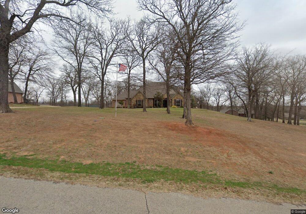
1912 Cross Timber Dr Chandler, OK 74834
Estimated Value: $289,338 - $503,000
3
Beds
2
Baths
2,412
Sq Ft
$170/Sq Ft
Est. Value
About This Home
This home is located at 1912 Cross Timber Dr, Chandler, OK 74834 and is currently estimated at $410,085, approximately $170 per square foot. 1912 Cross Timber Dr is a home located in Lincoln County with nearby schools including East Side Elementary School, Park Road Elementary School, and Chandler Junior High School.
Ownership History
Date
Name
Owned For
Owner Type
Purchase Details
Closed on
Aug 25, 2021
Sold by
Hilton Misty
Bought by
Kuczinslu Sharon K and Kuczinski Jack B
Current Estimated Value
Purchase Details
Closed on
Nov 3, 2017
Sold by
Kuczinski Frank and Kuczinski Sharon
Bought by
Kuczinski Frank and Kuczinski Sharon
Purchase Details
Closed on
Sep 3, 2014
Sold by
Stice Larry J and Stice Janice S
Bought by
Kuczinski Frank and Kuczinski Sharon
Purchase Details
Closed on
Jul 24, 2008
Sold by
Dick Evans Construction Inc
Bought by
Stice Larry J and Stice Janice S
Create a Home Valuation Report for This Property
The Home Valuation Report is an in-depth analysis detailing your home's value as well as a comparison with similar homes in the area
Home Values in the Area
Average Home Value in this Area
Purchase History
| Date | Buyer | Sale Price | Title Company |
|---|---|---|---|
| Kuczinslu Sharon K | -- | None Available | |
| Kuczinski Frank | -- | None Available | |
| Kuczinski Frank | $295,500 | -- | |
| Stice Larry J | $148,000 | None Available |
Source: Public Records
Tax History Compared to Growth
Tax History
| Year | Tax Paid | Tax Assessment Tax Assessment Total Assessment is a certain percentage of the fair market value that is determined by local assessors to be the total taxable value of land and additions on the property. | Land | Improvement |
|---|---|---|---|---|
| 2025 | -- | $41,229 | $3,625 | $37,604 |
| 2024 | -- | $0 | $0 | $0 |
| 2023 | -- | $38,862 | $3,850 | $35,012 |
| 2022 | $3,366 | $37,635 | $3,694 | $33,941 |
| 2021 | $3,303 | $35,844 | $2,750 | $33,094 |
| 2020 | $3,197 | $34,137 | $2,750 | $31,387 |
| 2019 | $3,200 | $34,175 | $3,086 | $31,089 |
| 2018 | $0 | $32,548 | $3,086 | $29,462 |
| 2017 | $0 | $32,452 | $3,300 | $29,152 |
| 2016 | $0 | $32,697 | $3,647 | $29,050 |
| 2015 | $2,956 | $32,156 | $3,135 | $29,021 |
| 2014 | $2,838 | $31,970 | $3,073 | $28,897 |
Source: Public Records
Map
Nearby Homes
- 800 Tilghman Dr
- 912 Tilghman Dr
- 0 S Highway 18
- 110 W 13th St
- 315 W 8th St
- 414 S Price Ave
- 315 S Price Ave
- 320 E 11th St
- 218 E 8th St
- 407 Manvel Ave
- 850215 S 3400 Rd
- 910744 S 3440 Rd
- 0 E Scissortail Dr
- E 0930 Rd
- 802 Bennett Blvd
- 0 Summer Ln
- 1117 E 17th St
- 910903 S 3444 Rd
- 124 N Dewey Ave
- 200 N Dewey Ave
- 1911 Pin Oak
- 0 Cross Timber St Unit 974490
- 2007 Pin Oak
- 1821 Pin Oak
- 2007 Cross Timber Dr
- 1821 Cross Timber Dr
- 2014 Cross Timber Dr
- 2013 Pin Oak
- 2009 Cross Timber Dr
- 0 Pin Oak Dr
- 1824 Turtle Dr
- 1704 Turtle Creek
- 1904 Turtle Creek
- 2013 Cross Timber Dr
- 1912 Pin Oak
- 1624 Turtle Creek
- 2006 Pin Oak
- 1703 Timberlake Dr
- 1803 Timberlake Dr
- 1823 Timberlake Dr