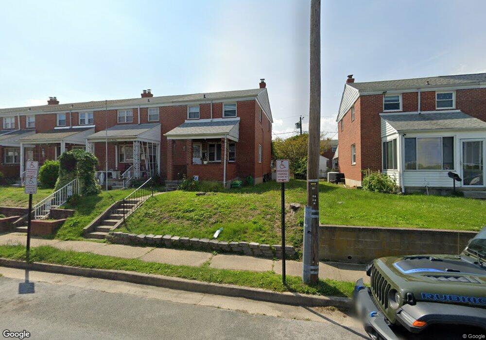
1912 Denbury Dr Dundalk, MD 21222
Estimated Value: $201,000 - $211,000
--
Bed
2
Baths
1,008
Sq Ft
$204/Sq Ft
Est. Value
About This Home
This home is located at 1912 Denbury Dr, Dundalk, MD 21222 and is currently estimated at $205,676, approximately $204 per square foot. 1912 Denbury Dr is a home located in Baltimore County with nearby schools including Grange Elementary School, General John Stricker Middle School, and Patapsco High & Center for Arts.
Ownership History
Date
Name
Owned For
Owner Type
Purchase Details
Closed on
Jun 3, 2022
Sold by
Lauren Paneto
Bought by
Paneto Lauren and Paneto Matthew M
Current Estimated Value
Purchase Details
Closed on
Jan 25, 2001
Sold by
Domarotsky Marian E
Bought by
Zielski Cecelia R and Paneto Lauren
Purchase Details
Closed on
Jul 21, 2000
Sold by
Domarotsky Marian E
Bought by
Domarotsky Marian E
Purchase Details
Closed on
Aug 5, 1996
Sold by
Domarotsky Victor J
Bought by
Domarotsky Marian E
Create a Home Valuation Report for This Property
The Home Valuation Report is an in-depth analysis detailing your home's value as well as a comparison with similar homes in the area
Home Values in the Area
Average Home Value in this Area
Purchase History
| Date | Buyer | Sale Price | Title Company |
|---|---|---|---|
| Paneto Lauren | -- | Neil Benjamin A | |
| Zielski Cecelia R | $80,000 | -- | |
| Domarotsky Marian E | -- | -- | |
| Domarotsky Marian E | -- | -- |
Source: Public Records
Tax History Compared to Growth
Tax History
| Year | Tax Paid | Tax Assessment Tax Assessment Total Assessment is a certain percentage of the fair market value that is determined by local assessors to be the total taxable value of land and additions on the property. | Land | Improvement |
|---|---|---|---|---|
| 2025 | $2,406 | $149,267 | -- | -- |
| 2024 | $2,406 | $137,433 | $0 | $0 |
| 2023 | $1,106 | $125,600 | $38,000 | $87,600 |
| 2022 | $2,087 | $123,467 | $0 | $0 |
| 2021 | $2,678 | $121,333 | $0 | $0 |
| 2020 | $1,445 | $119,200 | $38,000 | $81,200 |
| 2019 | $1,408 | $116,200 | $0 | $0 |
| 2018 | $2,191 | $113,200 | $0 | $0 |
| 2017 | $2,012 | $110,200 | $0 | $0 |
| 2016 | $1,808 | $110,200 | $0 | $0 |
| 2015 | $1,808 | $110,200 | $0 | $0 |
| 2014 | $1,808 | $121,100 | $0 | $0 |
Source: Public Records
Map
Nearby Homes
- 2743 Kirkleigh Rd
- 1940 Wareham Rd
- 2746 Moorgate Rd
- 1935 Stanhope Rd
- 2738 Moorgate Rd
- 7807 Rockbourne Rd
- 1894 Church Rd
- 7252 Meadow Ln
- 9 Vista Mobile Dr
- 1907 Wills Rd
- 7839 Harold Rd
- 1914 Armco Way
- 2007 Dineen Dr
- 1940H Robinwood Rd
- 1943 Dineen Dr
- 1614 Lynch Rd
- 2953 Yorkway
- 2970 Yorkway
- 3135 Sollers Point Rd
- 8427 Stansbury Lake Dr
- 1914 Denbury Dr
- 1910 Denbury Dr
- 1916 Denbury Dr
- 1908 Denbury Dr
- 1918 Denbury Dr
- 1906 Denbury Dr
- 1904 Denbury Dr
- 1920 Denbury Dr
- 1902 Denbury Dr
- 1922 Denbury Dr
- 1913 Holborn Rd
- 1900 Denbury Dr
- 1911 Holborn Rd
- 1915 Holborn Rd
- 1909 Holborn Rd
- 1917 Holborn Rd
- 1907 Holborn Rd
- 1919 Holborn Rd
- 1924 Denbury Dr
- 1905 Holborn Rd