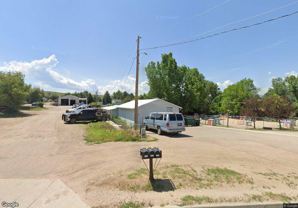
1912 E Brundage Ln Sheridan, WY 82801
Estimated Value: $739,141 - $854,000
3
Beds
2
Baths
1,780
Sq Ft
$449/Sq Ft
Est. Value
About This Home
This home is located at 1912 E Brundage Ln, Sheridan, WY 82801 and is currently estimated at $800,047, approximately $449 per square foot. 1912 E Brundage Ln is a home with nearby schools including Sheridan High School, Holy Name Catholic School, and Reaching Higher.
Ownership History
Date
Name
Owned For
Owner Type
Purchase Details
Closed on
Mar 16, 2006
Sold by
Farman Rita M
Bought by
Lund Winthrop O
Current Estimated Value
Home Financials for this Owner
Home Financials are based on the most recent Mortgage that was taken out on this home.
Original Mortgage
$183,800
Outstanding Balance
$7,891
Interest Rate
6.21%
Mortgage Type
New Conventional
Estimated Equity
$792,156
Create a Home Valuation Report for This Property
The Home Valuation Report is an in-depth analysis detailing your home's value as well as a comparison with similar homes in the area
Home Values in the Area
Average Home Value in this Area
Purchase History
| Date | Buyer | Sale Price | Title Company |
|---|---|---|---|
| Lund Winthrop O | -- | None Available |
Source: Public Records
Mortgage History
| Date | Status | Borrower | Loan Amount |
|---|---|---|---|
| Open | Lund Winthrop O | $183,800 |
Source: Public Records
Tax History Compared to Growth
Tax History
| Year | Tax Paid | Tax Assessment Tax Assessment Total Assessment is a certain percentage of the fair market value that is determined by local assessors to be the total taxable value of land and additions on the property. | Land | Improvement |
|---|---|---|---|---|
| 2025 | $4,823 | $69,617 | $19,190 | $50,427 |
| 2024 | $4,823 | $72,526 | $17,955 | $54,571 |
| 2023 | $4,801 | $72,196 | $16,720 | $55,476 |
| 2022 | $4,158 | $62,520 | $16,625 | $45,895 |
| 2021 | $3,464 | $52,084 | $13,490 | $38,594 |
| 2020 | $3,374 | $50,734 | $12,825 | $37,909 |
| 2019 | $3,319 | $49,903 | $11,875 | $38,028 |
| 2018 | $3,646 | $54,830 | $11,875 | $42,955 |
| 2017 | $3,653 | $54,927 | $11,875 | $43,052 |
| 2015 | $3,911 | $58,818 | $10,925 | $47,893 |
| 2014 | $3,803 | $57,191 | $9,981 | $47,210 |
| 2013 | -- | $52,610 | $7,958 | $44,652 |
Source: Public Records
Map
Nearby Homes
- 2 Valley View Dr
- 1866 Skyline Dr
- 2260 Pheasant Tail Cir
- 2275 Pheasant Tail Cir Unit (M-24)
- 2270 Pheasant Tail Cir Unit (M-50)
- 2533 Coffeen Ave
- 7 Freedom Ln
- 2458 Coffeen Ave
- Lot 2 Heron Sedge Ct
- 2997 Teal Spring Dr
- 2686 Wetlands Dr
- 2648 Wetlands Dr
- 2612 Wetlands Dr
- 2572 Wetlands Dr
- TBD Freedom Cir
- 573 Swan Drift
- 588 Swan Drift
- 549 Swan Drift
- 2531 Heron Sedge Ct
- 562 Swan Drift
- 1866 E Brundage Ln
- 1848 E Brundage Ln
- 1827 Kristi Ln
- 1810 E Brundage Ln
- 1845 Kristi Ln
- 2062 E Brundage Ln
- 1755 Kristi Ln
- 1852 Kristi Ln
- 1836 Kristi Ln
- 1808 Kristi Ln
- 1707 Kristi Ln
- 2019 E Brundage Ln
- TBD Outlaw Dr
- 1748 Kristi Ln
- Tract 1 Dry Ranch
- 1716 E Brundage Ln
- 2078 E Brundage Ln
- 1668 Kristi Ln
- 2339 Dry Ranch Rd
- 2061 E Brundage Ln