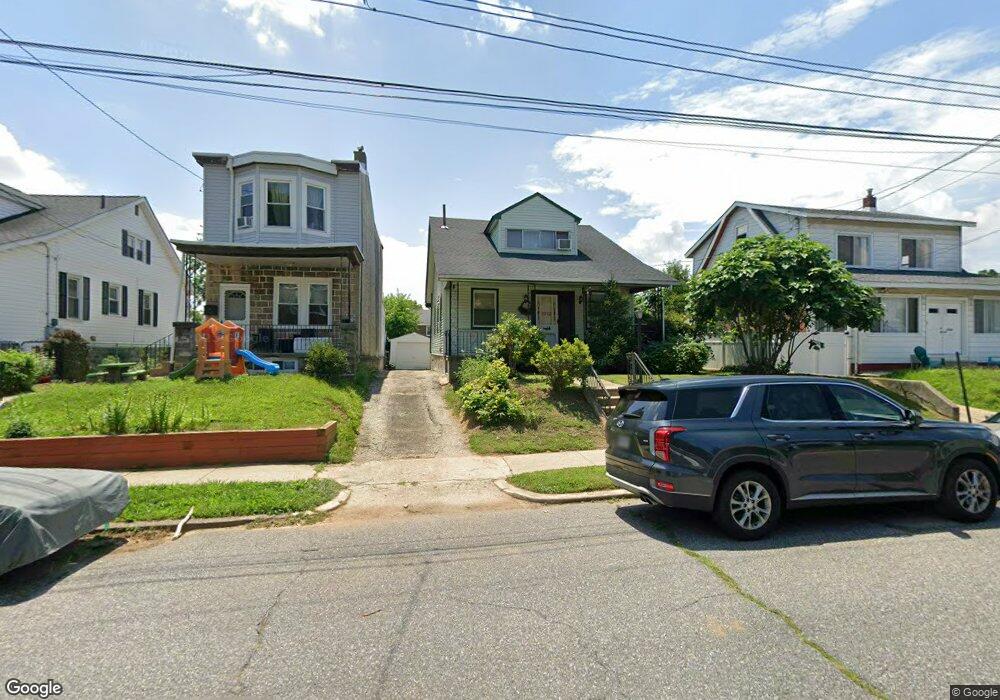
1912 Emerson St Unit 14 Philadelphia, PA 19152
Rhawnhurst NeighborhoodEstimated Value: $285,000 - $351,000
3
Beds
2
Baths
1,200
Sq Ft
$269/Sq Ft
Est. Value
About This Home
This home is located at 1912 Emerson St Unit 14, Philadelphia, PA 19152 and is currently estimated at $323,068, approximately $269 per square foot. 1912 Emerson St Unit 14 is a home located in Philadelphia County with nearby schools including Farrell Louis H School, Northeast High School, and Tacony Academy Charter School.
Ownership History
Date
Name
Owned For
Owner Type
Purchase Details
Closed on
Jan 23, 2013
Sold by
Wagner Florence T
Bought by
Rajan Daniel Rajan and Rajan Daniel Jen
Current Estimated Value
Home Financials for this Owner
Home Financials are based on the most recent Mortgage that was taken out on this home.
Original Mortgage
$149,246
Outstanding Balance
$103,187
Interest Rate
3.25%
Mortgage Type
FHA
Estimated Equity
$219,881
Purchase Details
Closed on
Sep 1, 1966
Bought by
Frank Frank H and Frank Florence T
Create a Home Valuation Report for This Property
The Home Valuation Report is an in-depth analysis detailing your home's value as well as a comparison with similar homes in the area
Home Values in the Area
Average Home Value in this Area
Purchase History
| Date | Buyer | Sale Price | Title Company |
|---|---|---|---|
| Rajan Daniel Rajan | $152,000 | None Available | |
| Frank Frank H | -- | -- |
Source: Public Records
Mortgage History
| Date | Status | Borrower | Loan Amount |
|---|---|---|---|
| Open | Rajan Daniel Rajan | $149,246 |
Source: Public Records
Tax History Compared to Growth
Tax History
| Year | Tax Paid | Tax Assessment Tax Assessment Total Assessment is a certain percentage of the fair market value that is determined by local assessors to be the total taxable value of land and additions on the property. | Land | Improvement |
|---|---|---|---|---|
| 2025 | $3,669 | $323,100 | $64,620 | $258,480 |
| 2024 | $3,669 | $323,100 | $64,620 | $258,480 |
| 2023 | $3,669 | $262,100 | $52,420 | $209,680 |
| 2022 | $2,242 | $217,100 | $52,420 | $164,680 |
| 2021 | $2,872 | $0 | $0 | $0 |
| 2020 | $2,872 | $0 | $0 | $0 |
| 2019 | $2,781 | $0 | $0 | $0 |
| 2018 | $2,615 | $0 | $0 | $0 |
| 2017 | $2,615 | $0 | $0 | $0 |
| 2016 | $2,195 | $0 | $0 | $0 |
| 2015 | $2,101 | $0 | $0 | $0 |
| 2014 | -- | $186,800 | $91,000 | $95,800 |
| 2012 | -- | $26,720 | $10,021 | $16,699 |
Source: Public Records
Map
Nearby Homes
- 1931 33 Rhawn St
- 2155 Benson St
- 2162 Strahle St
- 1705 Solly Ave
- 1702 Arthur St
- 2223 Emerson St
- 2029 Loney St
- 1704 Stanwood St
- 2230 Emerson St
- 2232 Stanwood St
- 1718 Rhawn St
- 2201 Strahle St Unit C302
- 1917 Griffith St
- 8127 Langdon St
- 2123 Loney St
- 7912 14 Loretto Ave
- 1625 Rhawn St
- 1719 Loney St
- 1700 Kendrick St
- 2321 Emerson St
- 1912-14 Emerson St
- 1916 Emerson St
- 1908 Emerson St Unit 10
- 1919 Solly Ave
- 1918 Emerson St Unit 20
- 1911 Solly Ave
- 1900 Emerson St Unit 2
- 1923 Solly Ave
- 1903 Emerson St
- 1903 Emerson St
- 1922 Emerson St Unit 24
- 1907 Solly Ave
- 1905 Solly Ave
- 1922 Emerson Street 24
- 1935 Solly Ave
- 1907 Emerson St Unit 11
- 1915 Emerson St
- 1917 Emerson St
- 1919 Emerson St
- 1921 Emerson St