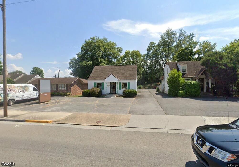
1912 Euclid Ave Bristol, VA 24201
Estimated Value: $133,766 - $152,000
--
Bed
--
Bath
940
Sq Ft
$154/Sq Ft
Est. Value
About This Home
This home is located at 1912 Euclid Ave, Bristol, VA 24201 and is currently estimated at $144,692, approximately $153 per square foot. 1912 Euclid Ave is a home located in Bristol City with nearby schools including Virginia High School, Tri-Cities Christian School, and St. Anne Catholic School.
Ownership History
Date
Name
Owned For
Owner Type
Purchase Details
Closed on
Sep 11, 2024
Sold by
Conway Liza and Morrell Anita
Bought by
Anita Ann Morrell And Liza Conway Living Trus and Morrell
Current Estimated Value
Purchase Details
Closed on
Jul 14, 2023
Sold by
Moore Christopher Jacob
Bought by
Conway Liza and Morrell Anita
Purchase Details
Closed on
May 13, 2022
Sold by
Bolling Elvin L and Bolling Dorothy W
Bought by
Moore Christopher Jacob
Create a Home Valuation Report for This Property
The Home Valuation Report is an in-depth analysis detailing your home's value as well as a comparison with similar homes in the area
Home Values in the Area
Average Home Value in this Area
Purchase History
| Date | Buyer | Sale Price | Title Company |
|---|---|---|---|
| Anita Ann Morrell And Liza Conway Living Trus | -- | None Listed On Document | |
| Anita Ann Morrell And Liza Conway Living Trus | -- | None Listed On Document | |
| Conway Liza | $110,000 | None Listed On Document | |
| Moore Christopher Jacob | $115,000 | Williams Law Office |
Source: Public Records
Tax History Compared to Growth
Tax History
| Year | Tax Paid | Tax Assessment Tax Assessment Total Assessment is a certain percentage of the fair market value that is determined by local assessors to be the total taxable value of land and additions on the property. | Land | Improvement |
|---|---|---|---|---|
| 2025 | $1,020 | $109,700 | $40,000 | $69,700 |
| 2024 | $878 | $78,400 | $34,400 | $44,000 |
| 2023 | $917 | $78,400 | $34,400 | $44,000 |
| 2022 | $878 | $78,400 | $34,400 | $44,000 |
| 2021 | $878 | $78,400 | $34,400 | $44,000 |
| 2020 | $778 | $66,500 | $34,400 | $32,100 |
| 2019 | $778 | $66,500 | $34,400 | $32,100 |
| 2018 | $389 | $66,500 | $34,400 | $32,100 |
| 2016 | -- | $68,700 | $0 | $0 |
| 2015 | -- | $0 | $0 | $0 |
| 2014 | -- | $0 | $0 | $0 |
Source: Public Records
Map
Nearby Homes
- 2000 Euclid Ave
- 1057 Moorland Ave
- 2140 Randolph St
- 60 Peters St
- 1724 & 1728 Euclid Ave
- 728 Randolph St
- 460 Vance St
- 000 Hemlock Dr
- 454 Douglas St
- 461 Douglas St
- 2412,14,16 Bradley St
- 1614 Broad St
- 2400 Bradley St
- 548 Floyd St
- 1836 Anderson St
- 2413 Catherine St
- 2228 Bay St
- 1227 Shelby St
- 340 Wagner Rd
- 2104 Osborne St
- 1910 Euclid Ave
- 1914 Euclid Ave
- 1908 Euclid Ave
- 1916 Euclid Ave
- 1922 Euclid Ave
- 1900 Euclid Ave
- 1909 Euclid Ave
- 1917 Euclid Ave
- 1911 Norway St
- 1913 Euclid Ave
- 1915 Norway St
- 1907 Norway St
- 1919 Norway St
- 1930 Euclid Ave
- 1905 Euclid Ave Unit A & B
- 1905 Euclid Ave
- 200 19th St
- 1921 Euclid Ave
- 1925 Euclid Ave
- 1932 Lee Hwy