1912 Forest Edge Ct O Fallon, IL 62269
Estimated Value: $603,000 - $895,754
Studio
--
Bath
1,275
Sq Ft
$604/Sq Ft
Est. Value
About This Home
This home is located at 1912 Forest Edge Ct, O Fallon, IL 62269 and is currently estimated at $769,585, approximately $603 per square foot. 1912 Forest Edge Ct is a home with nearby schools including Moye Elementary School, Fulton Junior High School, and O'Fallon Township High School.
Ownership History
Date
Name
Owned For
Owner Type
Purchase Details
Closed on
Sep 6, 2021
Sold by
Safarian Brian and Safarian Lisa
Bought by
Safarian Family Trust
Current Estimated Value
Purchase Details
Closed on
Mar 25, 2016
Sold by
Meise Brothers Construction Inc
Bought by
Sarafian Brian and Sarafian Lisa
Home Financials for this Owner
Home Financials are based on the most recent Mortgage that was taken out on this home.
Original Mortgage
$374,824
Interest Rate
3.66%
Mortgage Type
New Conventional
Create a Home Valuation Report for This Property
The Home Valuation Report is an in-depth analysis detailing your home's value as well as a comparison with similar homes in the area
Home Values in the Area
Average Home Value in this Area
Purchase History
| Date | Buyer | Sale Price | Title Company |
|---|---|---|---|
| Safarian Family Trust | -- | None Available | |
| Sarafian Brian | $703,000 | Professional Title |
Source: Public Records
Mortgage History
| Date | Status | Borrower | Loan Amount |
|---|---|---|---|
| Previous Owner | Sarafian Brian | $374,824 |
Source: Public Records
Tax History
| Year | Tax Paid | Tax Assessment Tax Assessment Total Assessment is a certain percentage of the fair market value that is determined by local assessors to be the total taxable value of land and additions on the property. | Land | Improvement |
|---|---|---|---|---|
| 2024 | $19,898 | $296,715 | $70,450 | $226,265 |
| 2023 | $18,491 | $262,533 | $62,334 | $200,199 |
| 2022 | $16,830 | $236,534 | $61,094 | $175,440 |
| 2021 | $16,295 | $224,501 | $57,986 | $166,515 |
| 2020 | $16,152 | $212,660 | $54,928 | $157,732 |
| 2019 | $15,762 | $212,660 | $54,928 | $157,732 |
| 2018 | $14,917 | $200,889 | $57,493 | $143,396 |
| 2017 | $4,625 | $192,738 | $55,160 | $137,578 |
| 2016 | $5,894 | $337 | $337 | $0 |
Source: Public Records
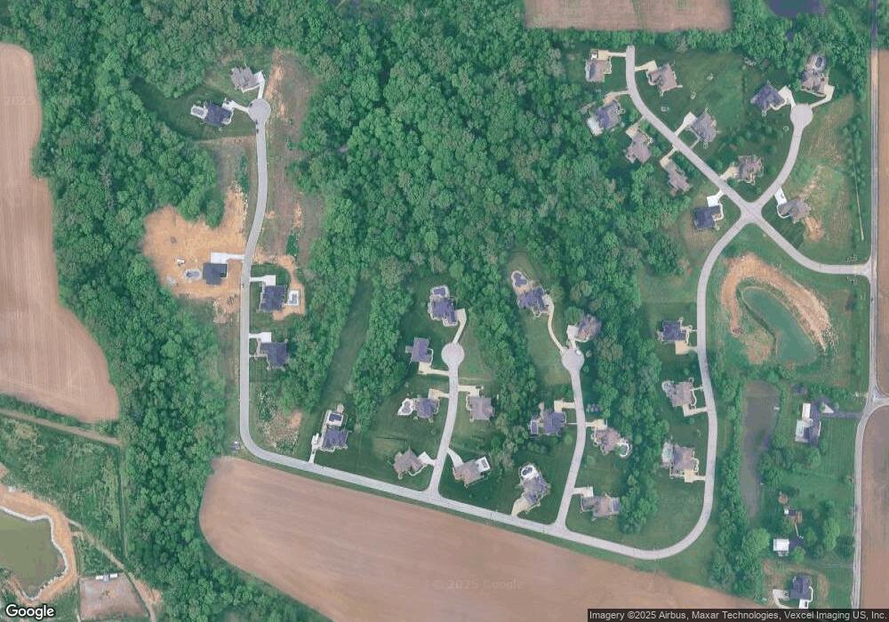
Map
Nearby Homes
- 1821 Orr Ln
- 319 Bethel Meadows Rd
- 678 Prato Ct
- 1128 Pisa Dr
- 191 Belmont Rd
- 7001 Lockmann Rd
- 1012 Crooked Stick Dr
- 420 S Aurora St
- 1029 Summer Ln
- 1240 Pausch Rd Unit 6.65 ac
- 1240 Pausch Rd
- 718 Osborn Dr
- 910 Portland Ave
- 121 S Seminary St
- 1309 Coleridge Ct
- 700 Thoreau Dr
- 305 Forest Oaks Dr
- 427 Valley Ln
- 0 Walker Meadows Subdivision
- 0 Boreal Ridge Subdivision
- 1908 Forest Edge
- 1905 Forest Edge Ct
- 1909 Birchfield Ct
- 1904 Forest Edge Ct
- 548 Willow Bend Ln
- 1901 Forest Edge Ct
- 1909 Forest Edge Ct
- 1912 Birchfield Ct
- 1905 Birchfield Ct
- 1900 Forest Edge Ct
- 564 Willow Bend Ln
- 508 Willow Bend Ln
- 560 Willow Bend Ln
- 536 Willow Bend Ln
- 1904 Birchfield Ct
- 512 Willow Bend Ln
- 1913 Windcrest Dr
- 1900 Birchfield Ct
- 565 Willow Bend Ln
- 1905 Windcrest Dr
Your Personal Tour Guide
Ask me questions while you tour the home.