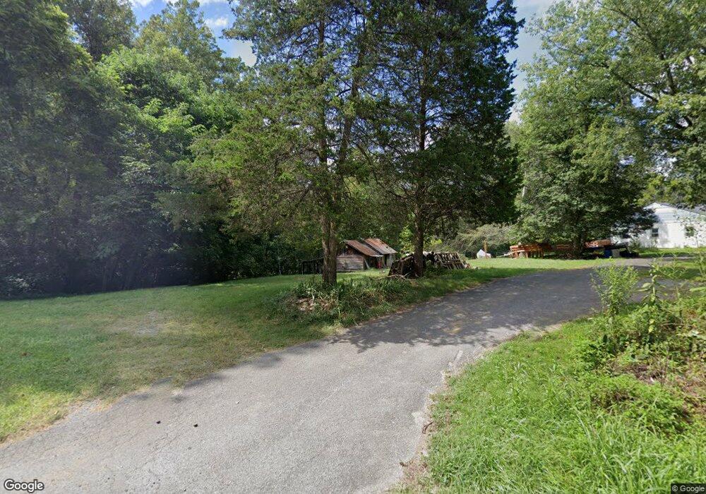
1912 Izaak Walton Rd Madison Heights, VA 24572
Estimated Value: $262,000 - $272,000
3
Beds
2
Baths
1,220
Sq Ft
$219/Sq Ft
Est. Value
About This Home
This home is located at 1912 Izaak Walton Rd, Madison Heights, VA 24572 and is currently estimated at $267,682, approximately $219 per square foot. 1912 Izaak Walton Rd is a home located in Amherst County with nearby schools including Amelon Elementary School, Monelison Middle School, and Amherst County High School.
Ownership History
Date
Name
Owned For
Owner Type
Purchase Details
Closed on
Jan 2, 2013
Sold by
Citimortgage Inc
Bought by
Foster Allen Wayne and Foster Julie Hall
Current Estimated Value
Home Financials for this Owner
Home Financials are based on the most recent Mortgage that was taken out on this home.
Original Mortgage
$108,279
Interest Rate
3.44%
Mortgage Type
VA
Purchase Details
Closed on
Jul 25, 2012
Sold by
Stout Johnnie M and Stout Anne L
Bought by
Lawyers Title Realty Service
Create a Home Valuation Report for This Property
The Home Valuation Report is an in-depth analysis detailing your home's value as well as a comparison with similar homes in the area
Home Values in the Area
Average Home Value in this Area
Purchase History
| Date | Buyer | Sale Price | Title Company |
|---|---|---|---|
| Foster Allen Wayne | $106,000 | First American Title Insuran | |
| Lawyers Title Realty Service | $113,442 | None Available |
Source: Public Records
Mortgage History
| Date | Status | Borrower | Loan Amount |
|---|---|---|---|
| Previous Owner | Foster Allen Wayne | $108,279 |
Source: Public Records
Tax History Compared to Growth
Tax History
| Year | Tax Paid | Tax Assessment Tax Assessment Total Assessment is a certain percentage of the fair market value that is determined by local assessors to be the total taxable value of land and additions on the property. | Land | Improvement |
|---|---|---|---|---|
| 2025 | $1,045 | $171,300 | $41,500 | $129,800 |
| 2024 | $1,045 | $171,300 | $41,500 | $129,800 |
| 2023 | $1,045 | $171,300 | $41,500 | $129,800 |
| 2022 | $1,045 | $171,300 | $41,500 | $129,800 |
| 2021 | $1,045 | $171,300 | $41,500 | $129,800 |
| 2020 | $1,045 | $171,300 | $41,500 | $129,800 |
| 2019 | $1,087 | $178,200 | $47,500 | $130,700 |
| 2018 | $1,087 | $178,200 | $47,500 | $130,700 |
| 2017 | $1,087 | $178,200 | $47,500 | $130,700 |
| 2016 | $1,087 | $178,200 | $47,500 | $130,700 |
| 2015 | $998 | $178,200 | $47,500 | $130,700 |
| 2014 | $998 | $178,200 | $47,500 | $130,700 |
Source: Public Records
Map
Nearby Homes
- 0 Commonwealth Dr Unit 361760
- 255 Glade Rd
- 1769 Izaak Walton Rd
- 164 Glade Rd
- 0 Lot 10 & 11 Stoney Creek Dr Unit 345183
- 0 Monticello Ln
- 0 Izaak Walton Rd
- 11 Stoney Creek Dr
- 10 Stoney Creek Dr
- 172 Stoney Creek Dr
- 149 Peaceful Ln
- 250 S Wood Duck Dr
- 121 Crestwood Dr
- 134 Katies Dr
- 366 Kentmoor Farm Rd
- 180-Lot 2 Kentmoor Farm Rd
- Lot 1 Kentmoor Farm Rd
- 571 Dixie Airport Rd
- 151 Stratford Place
- TBD Stratford Place Unit 39
- 1898 Izaak Walton Rd
- 1944 Izaak Walton Rd
- 1954 Izaak Walton Rd
- 1964 Izaak Walton Rd
- 1972 Izaak Walton Rd
- 1980 Izaak Walton Rd
- 195 Samvetta Ln
- 0 Commonwealth Dr Unit 345285
- 0 Commonwealth Dr Unit 287251
- 0 Commonwealth Dr Unit 287249
- 0 Commonwealth Dr Unit 287246
- 0 Commonwealth Dr Unit 312680
- 0 Commonwealth Dr Unit 312678
- 0 Commonwealth Dr Unit 312681
- 0 Commonwealth Dr Unit 332931
- 0 Commonwealth Dr Unit 332932
- TBD Stapleton Rd Unit A & B
- 192 E Monroe Ave
- TBD Stapleton Rd
- TBD 2 Stapleton Rd