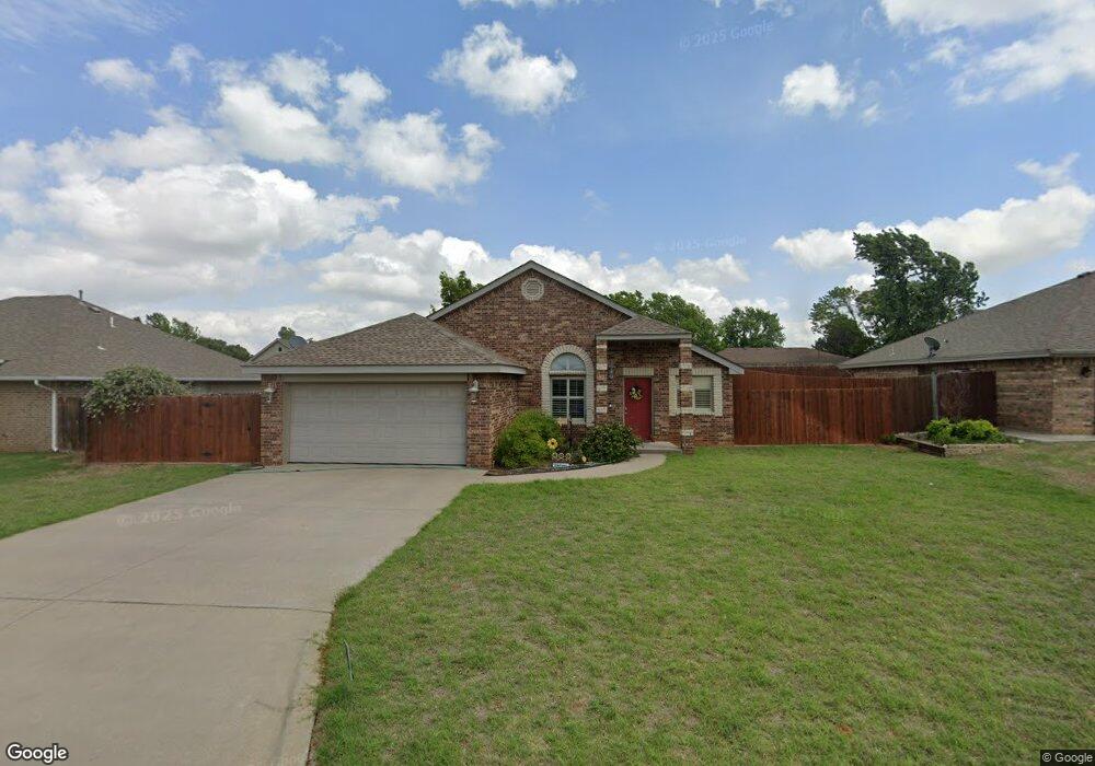
1912 Linwood St Weatherford, OK 73096
Estimated Value: $202,834 - $237,000
3
Beds
2
Baths
1,362
Sq Ft
$161/Sq Ft
Est. Value
About This Home
This home is located at 1912 Linwood St, Weatherford, OK 73096 and is currently estimated at $219,709, approximately $161 per square foot. 1912 Linwood St is a home with nearby schools including Burcham Elementary School, Lt. General Thomas P. Stafford Elementary School, and Weatherford West Elementary School.
Ownership History
Date
Name
Owned For
Owner Type
Purchase Details
Closed on
Sep 22, 2015
Sold by
Wines Renyssa
Bought by
Kennedy Kenneth M and Kennedy Alma
Current Estimated Value
Purchase Details
Closed on
Mar 7, 2003
Sold by
Renyssa Wines and Renyssa Homeworks
Bought by
Renyssa Wines
Purchase Details
Closed on
Aug 9, 2001
Sold by
Renyssa Wines
Bought by
Renyssa Wines and Renyssa Homeworks
Purchase Details
Closed on
May 29, 2001
Sold by
Alain Verhille
Bought by
Renyssa Wines
Purchase Details
Closed on
Jan 9, 1996
Sold by
Saber Inc
Bought by
Alain Verhille
Create a Home Valuation Report for This Property
The Home Valuation Report is an in-depth analysis detailing your home's value as well as a comparison with similar homes in the area
Home Values in the Area
Average Home Value in this Area
Purchase History
| Date | Buyer | Sale Price | Title Company |
|---|---|---|---|
| Kennedy Kenneth M | $142,500 | -- | |
| Renyssa Wines | -- | -- | |
| Renyssa Wines | -- | -- | |
| Renyssa Wines | $10,500 | -- | |
| Alain Verhille | $10,000 | -- |
Source: Public Records
Tax History Compared to Growth
Tax History
| Year | Tax Paid | Tax Assessment Tax Assessment Total Assessment is a certain percentage of the fair market value that is determined by local assessors to be the total taxable value of land and additions on the property. | Land | Improvement |
|---|---|---|---|---|
| 2025 | $1,784 | $17,692 | $1,554 | $16,138 |
| 2024 | $1,784 | $18,085 | $1,554 | $16,531 |
| 2023 | $1,784 | $17,224 | $1,554 | $15,670 |
| 2022 | $1,657 | $17,224 | $1,554 | $15,670 |
| 2021 | $1,670 | $17,224 | $1,554 | $15,670 |
| 2020 | $1,657 | $16,444 | $1,554 | $14,890 |
| 2019 | $1,641 | $16,123 | $1,333 | $14,790 |
| 2018 | $1,421 | $15,355 | $1,205 | $14,150 |
| 2017 | $1,378 | $14,624 | $1,312 | $13,312 |
| 2016 | $1,325 | $13,928 | $1,237 | $12,691 |
| 2015 | $1,280 | $13,265 | $1,188 | $12,077 |
| 2014 | $1,217 | $12,634 | $1,079 | $11,555 |
Source: Public Records
Map
Nearby Homes
- 1908 Linwood St
- 1916 Linwood St
- 1915 Pamela Ln
- 1904 Linwood St
- 1909 Pamela Ln
- 1917 Linwood St
- 1909 Linwood St
- 1900 Linwood St
- 1533 Chisholm Trail
- 1537 Chisholm Trail
- 1905 Linwood St
- 1529 Chisholm Trail
- 1525 Chisholm Trail
- 1541 Chisholm Trail
- 1912 Kristie Ln
- 1828 Linwood St
- 1916 Kristie Ln
- 1908 Kristie Ln
- 1912 Pamela Ln
- 1829 Linwood St