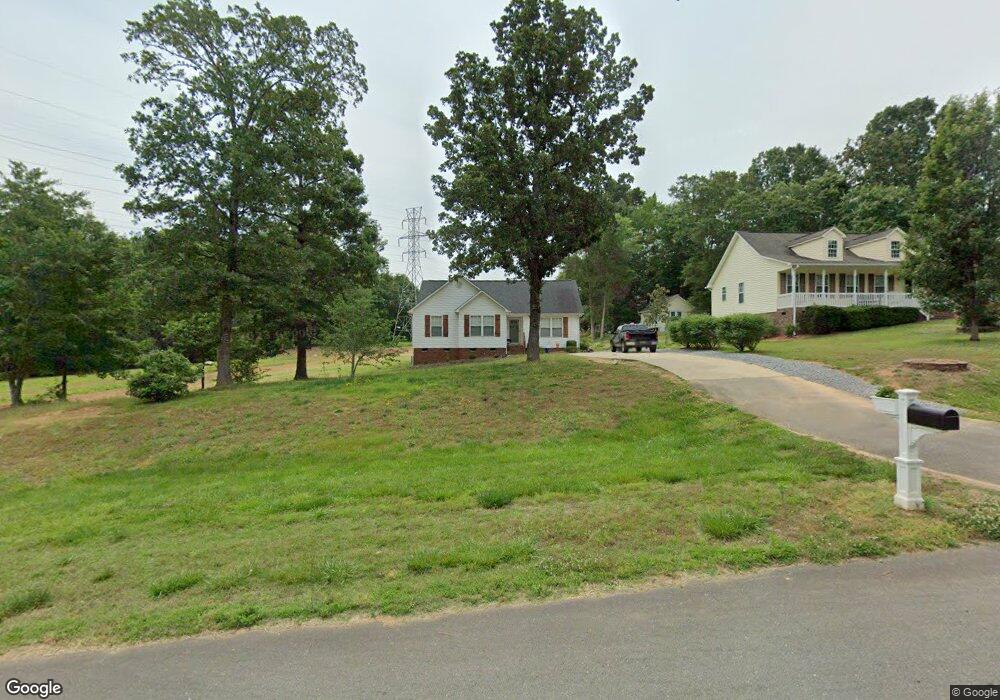
1912 Manning Place Rock Hill, SC 29730
Estimated Value: $282,953 - $335,000
--
Bed
--
Bath
1,431
Sq Ft
$219/Sq Ft
Est. Value
About This Home
This home is located at 1912 Manning Place, Rock Hill, SC 29730 and is currently estimated at $313,988, approximately $219 per square foot. 1912 Manning Place is a home with nearby schools including Lesslie Elementary School, Castle Heights Middle School, and Rock Hill High School.
Ownership History
Date
Name
Owned For
Owner Type
Purchase Details
Closed on
Sep 16, 2020
Sold by
Perry Brenda J
Bought by
Mejia Alejandro Fernando
Current Estimated Value
Home Financials for this Owner
Home Financials are based on the most recent Mortgage that was taken out on this home.
Original Mortgage
$213,030
Outstanding Balance
$188,699
Interest Rate
2.8%
Mortgage Type
New Conventional
Estimated Equity
$125,289
Purchase Details
Closed on
Jan 29, 2003
Sold by
Karnap Homes Inc
Bought by
Perry Brenda J
Purchase Details
Closed on
Jan 22, 2002
Sold by
Evergreen Land Llc
Bought by
Karnap Homes Inc
Create a Home Valuation Report for This Property
The Home Valuation Report is an in-depth analysis detailing your home's value as well as a comparison with similar homes in the area
Home Values in the Area
Average Home Value in this Area
Purchase History
| Date | Buyer | Sale Price | Title Company |
|---|---|---|---|
| Mejia Alejandro Fernando | $210,900 | First American Mortgage Sln | |
| Perry Brenda J | $102,900 | -- | |
| Karnap Homes Inc | $124,000 | -- |
Source: Public Records
Mortgage History
| Date | Status | Borrower | Loan Amount |
|---|---|---|---|
| Open | Mejia Alejandro Fernando | $213,030 |
Source: Public Records
Tax History Compared to Growth
Tax History
| Year | Tax Paid | Tax Assessment Tax Assessment Total Assessment is a certain percentage of the fair market value that is determined by local assessors to be the total taxable value of land and additions on the property. | Land | Improvement |
|---|---|---|---|---|
| 2024 | $958 | $8,824 | $1,680 | $7,144 |
| 2023 | $983 | $8,824 | $1,680 | $7,144 |
| 2022 | $986 | $8,824 | $1,680 | $7,144 |
| 2021 | -- | $8,824 | $1,680 | $7,144 |
| 2020 | $603 | $6,187 | $0 | $0 |
| 2019 | $510 | $5,380 | $0 | $0 |
| 2018 | $806 | $5,380 | $0 | $0 |
| 2017 | $760 | $5,380 | $0 | $0 |
| 2016 | $737 | $5,380 | $0 | $0 |
| 2014 | $608 | $5,380 | $1,680 | $3,700 |
| 2013 | $608 | $4,852 | $1,612 | $3,240 |
Source: Public Records
Map
Nearby Homes
- 1903 Manning Place
- 356 Emma Wood Ln
- 3339 Lesslie Hwy Unit 2
- 2003 Capel Ct
- 611 Pondway Downs
- 508 Bridgestone Ln
- 172 Neely Store Rd
- 281 Schoolside Dr
- 3886 Lesslie Hwy
- 355 Leisure Ln
- 1009 Rainbow Cir
- 623 Neelys Creek Rd
- 4000 Lesslie Hwy
- 4001 Lesslie Hwy
- 3943 Walker Rd
- 3943 Walker Rd Unit LOT ONLY
- 0000 Tract #1A Roddey Rd
- 3943 Walker Road (Land Only)
- 161 Billy Claude Cir
- 1580 Anderson Rd S
- 1908 Manning Place
- 1904 Manning Place
- 1918 Manning Place
- 1911 Manning Place
- 1907 Manning Place
- 1915 Manning Place
- 1922 Manning Place
- 362 Emma Wood Ln
- 249 Open Meadow Rd
- 1926 Manning Place
- 352 Emma Wood Ln
- 1921 Manning Place
- 1925 Manning Place
- 371 Emma Wood Ln
- 346 Emma Wood Ln
- 342 Emma Wood Ln
- 363 Emma Wood Ln
- 112 Valley Creek Rd
- 357 Emma Wood Ln
- 351 Emma Wood Ln