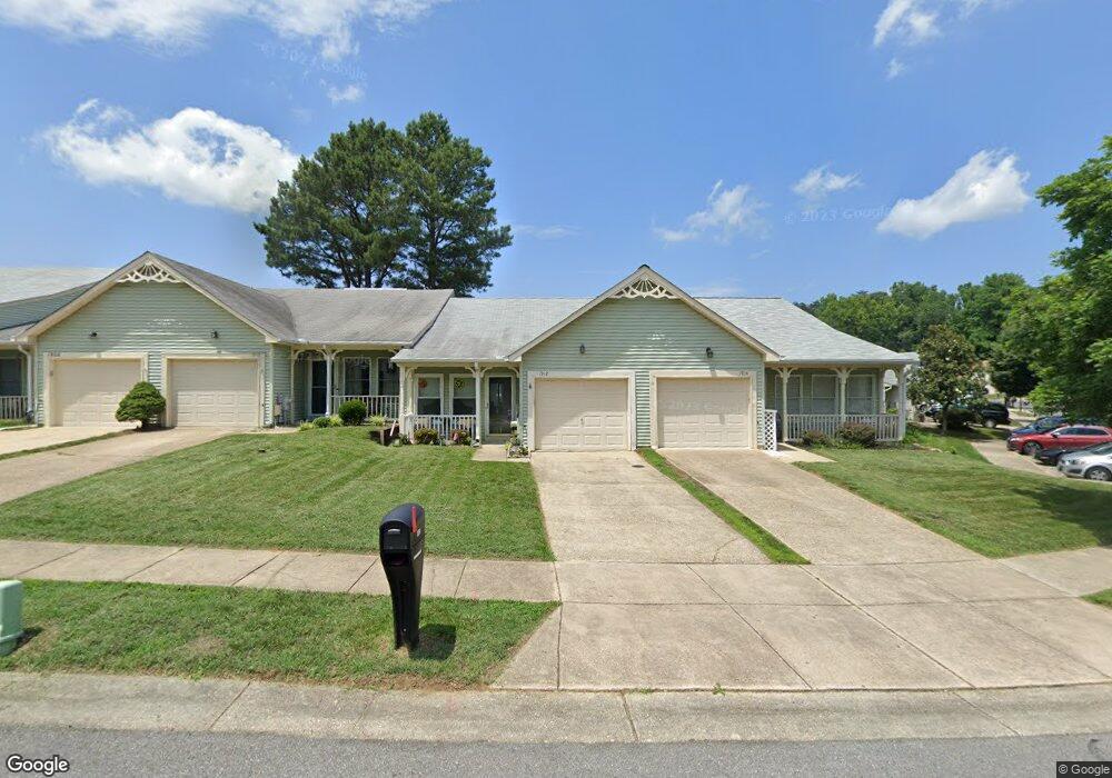
1912 Marconi Cir Annapolis, MD 21401
Parole NeighborhoodEstimated Value: $371,000 - $439,000
--
Bed
2
Baths
1,032
Sq Ft
$398/Sq Ft
Est. Value
About This Home
This home is located at 1912 Marconi Cir, Annapolis, MD 21401 and is currently estimated at $410,588, approximately $397 per square foot. 1912 Marconi Cir is a home located in Anne Arundel County with nearby schools including Rolling Knolls Elementary School, Wiley H. Bates Middle School, and Annapolis High School.
Ownership History
Date
Name
Owned For
Owner Type
Purchase Details
Closed on
Jun 25, 2002
Sold by
Pelton Robert J
Bought by
Luebkert Sandra K
Current Estimated Value
Purchase Details
Closed on
Aug 12, 1994
Sold by
Schultz Mary K
Bought by
Pelton Robert J
Purchase Details
Closed on
Apr 29, 1987
Sold by
U S Homes Corp
Bought by
Schultz Mary K
Create a Home Valuation Report for This Property
The Home Valuation Report is an in-depth analysis detailing your home's value as well as a comparison with similar homes in the area
Home Values in the Area
Average Home Value in this Area
Purchase History
| Date | Buyer | Sale Price | Title Company |
|---|---|---|---|
| Luebkert Sandra K | $179,900 | -- | |
| Pelton Robert J | $115,000 | -- | |
| Schultz Mary K | $100,000 | -- |
Source: Public Records
Mortgage History
| Date | Status | Borrower | Loan Amount |
|---|---|---|---|
| Closed | Luebkert Sandra K | -- |
Source: Public Records
Tax History Compared to Growth
Tax History
| Year | Tax Paid | Tax Assessment Tax Assessment Total Assessment is a certain percentage of the fair market value that is determined by local assessors to be the total taxable value of land and additions on the property. | Land | Improvement |
|---|---|---|---|---|
| 2025 | $2,565 | $319,700 | -- | -- |
| 2024 | $2,565 | $297,200 | $0 | $0 |
| 2023 | $2,474 | $274,700 | $160,000 | $114,700 |
| 2022 | $2,309 | $267,700 | $0 | $0 |
| 2021 | $4,538 | $260,700 | $0 | $0 |
| 2020 | $2,188 | $253,700 | $140,000 | $113,700 |
| 2019 | $2,139 | $239,100 | $0 | $0 |
| 2018 | $2,276 | $224,500 | $0 | $0 |
| 2017 | $1,577 | $209,900 | $0 | $0 |
| 2016 | -- | $203,900 | $0 | $0 |
| 2015 | -- | $197,900 | $0 | $0 |
| 2014 | -- | $191,900 | $0 | $0 |
Source: Public Records
Map
Nearby Homes
- 1909 Marconi Cir
- 2507 Tudo Ct
- 1945 Marconi Cir
- 916 Sextant Way
- 1007 Boom Ct
- 2664 Compass Dr
- 1012 Mastline Dr
- 2600 Compass Dr
- 2601 Compass Dr
- 1003 Mastline Dr
- 2671 Cunningham Hole Rd
- 2737 Yeomans Lantern Ct
- 940 Astern Way Unit 604
- 940 Astern Way Unit 309
- 930 Astern Way Unit 511
- 930 Astern Way Unit 405
- 930 Astern Way Unit 502
- 930 Astern Way Unit 609
- 932 Riversedge Cir
- 825 Coxswain Way
- 1910 Marconi Cir
- 1914 Marconi Cir
- 1908 Marconi Cir
- 1906 Marconi Cir
- 1916 Marconi Cir
- 1904 Marconi Cir
- 1918 Marconi Cir
- 1902 Marconi Cir
- 2513 Tudo Ct
- 2515 Tudo Ct
- 2517 Tudo Ct
- 1920 Marconi Cir
- 2519 Tudo Ct
- 2543 Painter Ct
- 1900 Marconi Cir
- 2521 Tudo Ct
- 1922 Marconi Cir
- 1907 Marconi Cir
- 1905 Marconi Cir
- 2541 Painter Ct