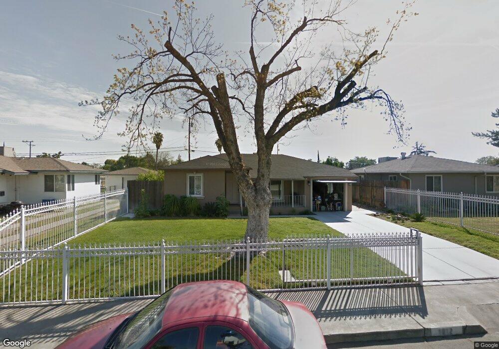
1912 Mayfair Dr E Fresno, CA 93703
McLane NeighborhoodEstimated Value: $290,000 - $302,000
About This Home
This home is located at 1912 Mayfair Dr E, Fresno, CA 93703 and is currently estimated at $294,470, approximately $208 per square foot. 1912 Mayfair Dr E is a home located in Fresno County with nearby schools including Wishon Elementary School, Scandinavian Middle School, and Mclane High School.
Ownership History
We collect this data history from publicly available records. To have your information removed, we recommend requesting removal directly through your county’s website.
Purchase Details
Home Financials for this Owner
Home Financials are based on the most recent Mortgage that was taken out on this home.Purchase Details
Home Financials for this Owner
Home Financials are based on the most recent Mortgage that was taken out on this home.Purchase Details
Purchase Details
Home Values in the Area
Average Home Value in this Area
Purchase History
We collect this data history from publicly available records. To have your information removed, we recommend requesting removal directly through your county’s website.
| Date | Buyer | Sale Price | Title Company |
|---|---|---|---|
| $86,500 | National Title Company | ||
| -- | Financial Title Company | ||
| -- | Financial Title Company | ||
| -- | -- | ||
| -- | -- |
Mortgage History
We collect this data history from publicly available records. To have your information removed, we recommend requesting removal directly through your county’s website.
| Date | Status | Borrower | Loan Amount |
|---|---|---|---|
| Previous Owner | $77,850 | ||
| Previous Owner | $50,000 |
Tax History
We collect this data history from publicly available records. To have your information removed, we recommend requesting removal directly through your county’s website.
| Year | Tax Paid | Tax Assessment Tax Assessment Total Assessment is a certain percentage of the fair market value that is determined by local assessors to be the total taxable value of land and additions on the property. | Land | Improvement |
|---|---|---|---|---|
| 2025 | $1,509 | $125,260 | $24,611 | $100,649 |
| 2023 | $1,421 | $120,398 | $23,656 | $96,742 |
| 2022 | $1,400 | $118,039 | $23,193 | $94,846 |
| 2021 | $1,360 | $115,726 | $22,739 | $92,987 |
| 2020 | $1,305 | $110,600 | $21,500 | $89,100 |
| 2019 | $1,210 | $104,900 | $20,400 | $84,500 |
| 2018 | $1,183 | $102,900 | $20,000 | $82,900 |
| 2017 | $1,104 | $96,200 | $18,700 | $77,500 |
| 2016 | $1,053 | $93,198 | $18,172 | $75,026 |
| 2015 | $1,035 | $91,800 | $17,900 | $73,900 |
| 2014 | $967 | $86,000 | $16,800 | $69,200 |
Map
- 3493 E Joyce Dr
- 2019 Norris Dr E
- 2053 Mayfair Dr E
- 3482 Mayfair Dr S Unit 3484
- 3555 E Mckinley Ave
- 0 Tbd Unit 645657
- 0 Tbd Unit 645593
- 3335 E Normal Ave
- 3361 E Mckinley Ave
- 3413 E Normal Ave
- 2445 N Millbrook Ave
- 4033 E Brentwood Ave
- 3474 E Terrace Ave
- 3501 E Harvard Ave
- 2036 N First St
- 3284 E Pine Ave
- 3244 E Pine Ave
- 3548 E Lamona Ave
- 3508 E Lamona Ave
- 3422 E Michigan Ave
- 1902 Mayfair Dr E
- 1922 Mayfair Dr E
- 1882 Mayfair Dr E
- 1932 Mayfair Dr E
- 1913 Mayfair Dr E
- 1872 Mayfair Dr E
- 1923 Mayfair Dr E
- 1903 Mayfair Dr E
- 1942 Mayfair Dr E
- 1933 Mayfair Dr E
- 1862 Mayfair Dr E
- 2014 Mayfair Dr E
- 1869 Mayfair Dr E
- 1943 Mayfair Dr E
- 1911 Kenmore Dr W
- 1921 Kenmore Dr W
- 1901 Kenmore Dr W
- 1912 Norris Dr E
- 1905 Mayfair Dr E
- 1931 Kenmore Dr W
Ask me questions while you tour the home.