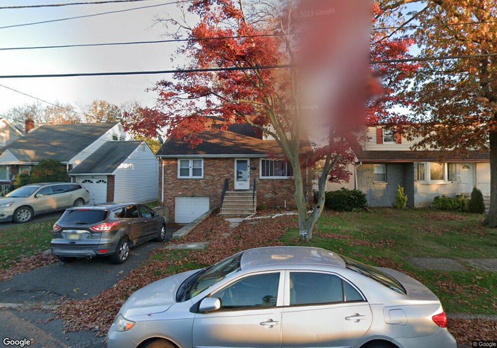
1912 Mildred Ave Linden, NJ 07036
Estimated Value: $540,000 - $697,000
--
Bed
--
Bath
2,133
Sq Ft
$286/Sq Ft
Est. Value
About This Home
This home is located at 1912 Mildred Ave, Linden, NJ 07036 and is currently estimated at $609,268, approximately $285 per square foot. 1912 Mildred Ave is a home located in Union County with nearby schools including School No. 4, Joseph E. Soehl Middle School, and Linden High School.
Ownership History
Date
Name
Owned For
Owner Type
Purchase Details
Closed on
Aug 11, 2007
Sold by
Allen Mary L and Davis Jameel
Bought by
Hunter Sonia M and Herbert Jennie
Current Estimated Value
Home Financials for this Owner
Home Financials are based on the most recent Mortgage that was taken out on this home.
Original Mortgage
$336,000
Outstanding Balance
$213,173
Interest Rate
6.7%
Mortgage Type
Purchase Money Mortgage
Estimated Equity
$396,095
Create a Home Valuation Report for This Property
The Home Valuation Report is an in-depth analysis detailing your home's value as well as a comparison with similar homes in the area
Home Values in the Area
Average Home Value in this Area
Purchase History
| Date | Buyer | Sale Price | Title Company |
|---|---|---|---|
| Hunter Sonia M | $336,000 | None Available |
Source: Public Records
Mortgage History
| Date | Status | Borrower | Loan Amount |
|---|---|---|---|
| Open | Hunter Sonia M | $336,000 |
Source: Public Records
Tax History Compared to Growth
Tax History
| Year | Tax Paid | Tax Assessment Tax Assessment Total Assessment is a certain percentage of the fair market value that is determined by local assessors to be the total taxable value of land and additions on the property. | Land | Improvement |
|---|---|---|---|---|
| 2025 | $10,274 | $146,100 | $46,700 | $99,400 |
| 2024 | $10,049 | $146,100 | $46,700 | $99,400 |
| 2023 | $10,049 | $146,100 | $46,700 | $99,400 |
| 2022 | $10,101 | $146,100 | $46,700 | $99,400 |
| 2021 | $10,152 | $146,100 | $46,700 | $99,400 |
| 2020 | $10,098 | $146,100 | $46,700 | $99,400 |
| 2019 | $10,065 | $146,100 | $46,700 | $99,400 |
| 2018 | $10,062 | $146,100 | $46,700 | $99,400 |
| 2017 | $9,844 | $146,100 | $46,700 | $99,400 |
| 2016 | $9,534 | $146,100 | $46,700 | $99,400 |
| 2015 | $9,171 | $146,100 | $46,700 | $99,400 |
| 2014 | $8,992 | $146,100 | $46,700 | $99,400 |
Source: Public Records
Map
Nearby Homes
- 318 Garfield St
- 109 Garfield St
- 308 Hagel Ave
- 419 Bernard Ave
- 423 Bernard Ave
- 2132 Alberta Ave
- 2050 E Saint Georges Ave
- 119 Grant St
- 117 Grant St
- 515 Richford Terrace Unit 24
- 761 Cedar Ave
- 12 Watson Ave
- 747 Rahway Ave Unit 49
- 13 Carolyn Terrace Unit A
- 1005 Nora Dr
- 706 Cedar Ave Unit 710
- 747 Vine St
- 827 Murray St Unit 829
- 1036 8 S Elmora Ave
- 2408 E Edgar Rd
- 1918 Mildred Ave
- 1904 Mildred Ave
- 1922 Mildred Ave
- 1900 Mildred Ave
- 1911 Essex Ave
- 206 Adams St
- 1915 Essex Ave
- 1921 Essex Ave
- 1921 Essex Ave Unit 2
- 1926 Mildred Ave
- 1903 Essex Ave
- 1907 Mildred Ave
- 1923 Essex Ave
- 1917B Mildred Ave
- 1917A Mildred Ave
- 1903 Mildred Ave
- 1917 Mildred Ave
- 1930 Mildred Ave
- 1919 Mildred Ave
- 1927 Essex Ave