1912 Raleigh Rd Unit A New Richmond, WI 54017
Estimated Value: $703,000 - $1,065,087
3
Beds
3
Baths
3,919
Sq Ft
$221/Sq Ft
Est. Value
About This Home
This home is located at 1912 Raleigh Rd Unit A, New Richmond, WI 54017 and is currently estimated at $867,022, approximately $221 per square foot. 1912 Raleigh Rd Unit A is a home located in St. Croix County with nearby schools including Somerset Elementary School, Somerset Middle School, and Somerset High School.
Ownership History
Date
Name
Owned For
Owner Type
Purchase Details
Closed on
May 29, 2025
Sold by
Knudson Mitchell and Myers Kelsey E
Bought by
Kelsey E Myers And Mitchell J Knudson Trust
Current Estimated Value
Purchase Details
Closed on
May 2, 2022
Sold by
Moen Steven T and Moen Cathy M
Bought by
Knudson Mitchell
Home Financials for this Owner
Home Financials are based on the most recent Mortgage that was taken out on this home.
Original Mortgage
$817,760
Interest Rate
4.42%
Mortgage Type
New Conventional
Create a Home Valuation Report for This Property
The Home Valuation Report is an in-depth analysis detailing your home's value as well as a comparison with similar homes in the area
Home Values in the Area
Average Home Value in this Area
Purchase History
| Date | Buyer | Sale Price | Title Company |
|---|---|---|---|
| Kelsey E Myers And Mitchell J Knudson Trust | -- | None Listed On Document | |
| Knudson Mitchell | $1,022,200 | None Listed On Document |
Source: Public Records
Mortgage History
| Date | Status | Borrower | Loan Amount |
|---|---|---|---|
| Previous Owner | Knudson Mitchell | $817,760 |
Source: Public Records
Tax History Compared to Growth
Tax History
| Year | Tax Paid | Tax Assessment Tax Assessment Total Assessment is a certain percentage of the fair market value that is determined by local assessors to be the total taxable value of land and additions on the property. | Land | Improvement |
|---|---|---|---|---|
| 2024 | $88 | $623,200 | $83,200 | $540,000 |
| 2023 | $8,870 | $623,200 | $83,200 | $540,000 |
| 2022 | $7,798 | $578,900 | $83,200 | $495,700 |
| 2021 | $5,866 | $578,900 | $83,200 | $495,700 |
| 2020 | $1,106 | $439,700 | $83,200 | $356,500 |
| 2019 | $1,106 | $83,200 | $83,200 | $0 |
Source: Public Records
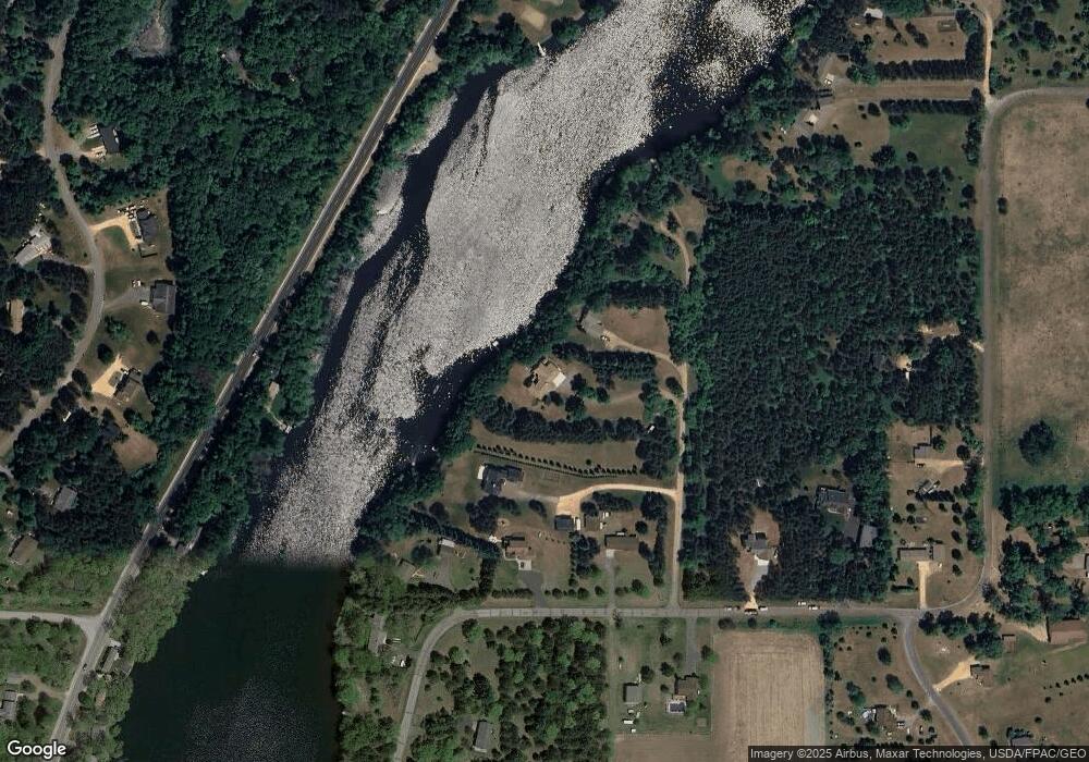
Map
Nearby Homes
- 919 189th Ave
- 872 183rd Ct
- 885 183rd Ct
- 893 183rd Ct
- 1888 80th St
- 1992 80th St
- 861 Sutherland St
- 869 Sutherland St
- 873 Sutherland St
- 837 Sutherland St
- Lot 4 Nighthawk Dr
- Lot 5 Riverdale Ct
- TBD Nighthawk Dr ( Apple River Lot) Lot 9
- TBD Nighthawk Dr ( Apple River Lot) Lot 5
- TBD Nighthawk Dr ( Apple River Lot) Lot 6
- TBD Nighthawk Dr ( Apple River Lot) Lot 4
- TBD Nighthawk Dr ( Apple River Lot) Lot 10
- TBD Nighthawk Dr ( Apple River Lot) Lot 7
- 829 Sutherland St
- 821 Sutherland St
- 1912 Raleigh Rd
- 1912 Raleigh Rd
- xxx Raleigh Rd
- 1906 Raleigh Rd
- 1902 Raleigh Rd
- XXX Raleigh Rd
- 1910 Raleigh Rd
- 1900 Raleigh Rd
- 1895 Raleigh Rd
- 1909 Raleigh Rd
- 1899 County Road C
- 1926 County Road C
- 1907 County Road C
- 1929 Raleigh Rd
- 1914 90th St
- 1918 Raleigh Rd
- 1922 90th St
- 1910 90th St
- 1881 Raleigh Rd
- 1908 90th St