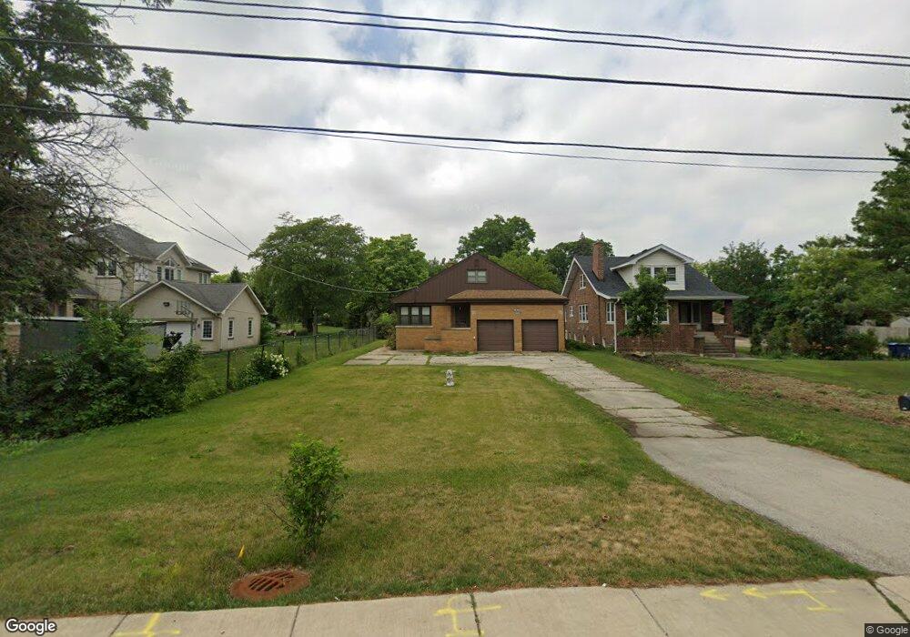
1912 S River Rd Des Plaines, IL 60018
Estimated Value: $331,000 - $422,367
3
Beds
2
Baths
1,521
Sq Ft
$245/Sq Ft
Est. Value
About This Home
This home is located at 1912 S River Rd, Des Plaines, IL 60018 and is currently estimated at $372,092, approximately $244 per square foot. 1912 S River Rd is a home located in Cook County with nearby schools including South Elementary School, Algonquin Middle School, and Maine West High School.
Ownership History
Date
Name
Owned For
Owner Type
Purchase Details
Closed on
Sep 8, 2011
Sold by
Henderson Robert J and Henderson Jan Lou
Bought by
People Of The State Of Illinois Departme
Current Estimated Value
Purchase Details
Closed on
Aug 19, 2009
Sold by
Chicago Title Land Trust Company
Bought by
Henderson Robert J and Henderson Jan Lou
Create a Home Valuation Report for This Property
The Home Valuation Report is an in-depth analysis detailing your home's value as well as a comparison with similar homes in the area
Home Values in the Area
Average Home Value in this Area
Purchase History
| Date | Buyer | Sale Price | Title Company |
|---|---|---|---|
| People Of The State Of Illinois Departme | $25,000 | None Available | |
| Henderson Robert J | -- | None Available |
Source: Public Records
Tax History
| Year | Tax Paid | Tax Assessment Tax Assessment Total Assessment is a certain percentage of the fair market value that is determined by local assessors to be the total taxable value of land and additions on the property. | Land | Improvement |
|---|---|---|---|---|
| 2025 | $6,336 | $36,000 | $15,700 | $20,300 |
| 2024 | $6,336 | $30,000 | $13,083 | $16,917 |
| 2023 | $6,135 | $30,000 | $13,083 | $16,917 |
| 2022 | $6,135 | $30,000 | $13,083 | $16,917 |
| 2021 | $6,598 | $27,461 | $10,902 | $16,559 |
| 2020 | $6,611 | $27,461 | $10,902 | $16,559 |
| 2019 | $7,245 | $33,095 | $10,902 | $22,193 |
| 2018 | $5,591 | $25,565 | $9,594 | $15,971 |
| 2017 | $5,527 | $25,565 | $9,594 | $15,971 |
| 2016 | $6,929 | $28,145 | $9,594 | $18,551 |
| 2015 | $5,480 | $23,372 | $8,285 | $15,087 |
| 2014 | $5,396 | $23,372 | $8,285 | $15,087 |
| 2013 | $4,831 | $21,712 | $8,285 | $13,427 |
Source: Public Records
Map
Nearby Homes
- 1721 Prospect Ave
- 1640 S River Rd
- 1922 Fargo Ave
- 1645 Illinois St
- 1990 Berry Ln
- 1689 S Elm St
- 1445 Everett Ave
- 1696 S Elm St
- 1700 E Forest Ave
- 38 E Touhy Ave
- 700 Florence Dr
- 1641 E Touhy Ave
- 1629 E Touhy Ave
- 2469 Parkwood Ln
- 1370 Fargo Ave Unit E
- 2220 S Chestnut St
- 2600 S Scott St
- 22 Park Ln Unit 220
- 2609 Eisenhower Dr
- 300 Boardwalk Place Unit T300
- 1904 S River Rd
- 1922 S River Rd
- 1881 Cedar Ct
- 1950 Stockton Ave
- 1884 S River Rd
- 1940 Stockton Ave
- 1873 Cedar Ct
- 1960 Stockton Ave
- 1930 Stockton Ave
- 1884 Cedar Ct
- 1876 S River Rd
- 1920 Stockton Ave
- 1866 S River Rd
- 1952 S River Rd
- 1874 Cedar Ct
- 1921 Birch St
- 1915 Birch St
- 1855 Cedar Ct
- 1905 Birch St
- 1864 Cedar Ct
Your Personal Tour Guide
Ask me questions while you tour the home.