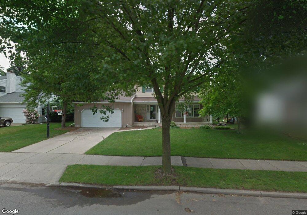
1912 Vassar Dr Lansing, MI 48912
Groesbeck NeighborhoodEstimated Value: $312,656 - $379,000
Studio
2
Baths
2,344
Sq Ft
$148/Sq Ft
Est. Value
About This Home
This home is located at 1912 Vassar Dr, Lansing, MI 48912 and is currently estimated at $347,414, approximately $148 per square foot. 1912 Vassar Dr is a home located in Ingham County with nearby schools including Pattengill Academy, Gier Park School, and Eastern High School.
Ownership History
Date
Name
Owned For
Owner Type
Purchase Details
Closed on
Nov 13, 2009
Sold by
Carrigan Richard T and Carrigan Virginia M
Bought by
Carrigan Chad T and Carrigan Heather C
Current Estimated Value
Home Financials for this Owner
Home Financials are based on the most recent Mortgage that was taken out on this home.
Original Mortgage
$170,000
Outstanding Balance
$110,434
Interest Rate
4.9%
Mortgage Type
New Conventional
Estimated Equity
$236,980
Create a Home Valuation Report for This Property
The Home Valuation Report is an in-depth analysis detailing your home's value as well as a comparison with similar homes in the area
Home Values in the Area
Average Home Value in this Area
Purchase History
| Date | Buyer | Sale Price | Title Company |
|---|---|---|---|
| Carrigan Chad T | $200,000 | Diversified National Title |
Source: Public Records
Mortgage History
| Date | Status | Borrower | Loan Amount |
|---|---|---|---|
| Open | Carrigan Chad T | $170,000 |
Source: Public Records
Tax History
| Year | Tax Paid | Tax Assessment Tax Assessment Total Assessment is a certain percentage of the fair market value that is determined by local assessors to be the total taxable value of land and additions on the property. | Land | Improvement |
|---|---|---|---|---|
| 2025 | $5,544 | $140,200 | $18,400 | $121,800 |
| 2024 | $45 | $124,100 | $18,400 | $105,700 |
| 2023 | $5,194 | $114,800 | $18,400 | $96,400 |
| 2022 | $4,675 | $102,800 | $15,800 | $87,000 |
| 2021 | $4,577 | $98,800 | $13,500 | $85,300 |
| 2020 | $4,550 | $94,600 | $13,500 | $81,100 |
| 2019 | $4,331 | $88,400 | $13,500 | $74,900 |
| 2018 | $3,884 | $78,900 | $13,500 | $65,400 |
| 2017 | $3,720 | $78,900 | $13,500 | $65,400 |
| 2016 | $3,557 | $69,500 | $13,500 | $56,000 |
| 2015 | $3,557 | $67,000 | $26,902 | $40,098 |
| 2014 | $3,557 | $66,400 | $28,823 | $37,577 |
Source: Public Records
Map
Nearby Homes
- 2711 Heights Ave
- 1706 Autumn Ln
- 1610 Autumn Ln
- 2315 Groesbeck Ave
- 2158 Coolidge Rd
- 1228 Kimberly Dr
- 2521 Hopkins Ave
- 1320 N Foster Ave
- 1304 Wolf Ct
- 1601 N Fairview Ave
- 1048 Shelter Ln
- 1283 Chartwell Carriage Way N
- 1227 Chartwell Carriage Way N
- 1007 N Foster Ave
- 14120 Wood St
- 825 W Lake Lansing Rd
- 2341 N Harrison Rd
- 732 Tarleton Ave
- 1981 Rutgers Cir
- 723 N Francis Ave
- 1900 Vassar Dr
- 1920 Vassar Dr
- 1909 Kingswood Dr
- 1901 Kingswood Dr
- 1917 Kingswood Dr
- 1832 Vassar Dr
- 1928 Vassar Dr
- 1911 Vassar Dr
- 1831 Kingswood Dr
- 1919 Vassar Dr
- 1901 Vassar Dr
- 1923 Kingswood Dr
- 1826 Vassar Dr
- 1927 Vassar Dr
- 1831 Vassar Dr
- 1936 Vassar Dr
- 1823 Kingswood Dr
- 1931 Kingswood Dr
- 1910 Kingswood Dr
- 1900 Kingswood Dr
Your Personal Tour Guide
Ask me questions while you tour the home.