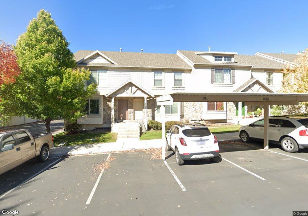
1912 W 960 N Provo, UT 84604
Rivergrove NeighborhoodEstimated Value: $391,000 - $400,438
3
Beds
3
Baths
1,460
Sq Ft
$271/Sq Ft
Est. Value
About This Home
This home is located at 1912 W 960 N, Provo, UT 84604 and is currently estimated at $395,110, approximately $270 per square foot. 1912 W 960 N is a home located in Utah County with nearby schools including Westridge Elementary School, Dixon Middle School, and Provo High School.
Ownership History
Date
Name
Owned For
Owner Type
Purchase Details
Closed on
Apr 8, 2008
Sold by
Independence Avenue Llc
Bought by
Lovell Michael A
Current Estimated Value
Home Financials for this Owner
Home Financials are based on the most recent Mortgage that was taken out on this home.
Original Mortgage
$195,500
Outstanding Balance
$125,446
Interest Rate
6.22%
Mortgage Type
FHA
Estimated Equity
$269,664
Create a Home Valuation Report for This Property
The Home Valuation Report is an in-depth analysis detailing your home's value as well as a comparison with similar homes in the area
Home Values in the Area
Average Home Value in this Area
Purchase History
| Date | Buyer | Sale Price | Title Company |
|---|---|---|---|
| Lovell Michael A | -- | First American Orem |
Source: Public Records
Mortgage History
| Date | Status | Borrower | Loan Amount |
|---|---|---|---|
| Open | Lovell Michael A | $195,500 |
Source: Public Records
Tax History Compared to Growth
Tax History
| Year | Tax Paid | Tax Assessment Tax Assessment Total Assessment is a certain percentage of the fair market value that is determined by local assessors to be the total taxable value of land and additions on the property. | Land | Improvement |
|---|---|---|---|---|
| 2025 | $2,090 | $202,290 | $54,100 | $313,700 |
| 2024 | $2,090 | $205,755 | $0 | $0 |
| 2023 | $2,002 | $194,315 | $0 | $0 |
| 2022 | $1,967 | $192,500 | $0 | $0 |
| 2021 | $1,542 | $263,200 | $39,500 | $223,700 |
| 2020 | $1,550 | $248,000 | $32,300 | $215,700 |
| 2019 | $1,491 | $248,000 | $32,300 | $215,700 |
| 2018 | $1,351 | $228,000 | $29,000 | $199,000 |
| 2017 | $1,220 | $113,080 | $0 | $0 |
| 2016 | $1,235 | $106,700 | $0 | $0 |
| 2015 | $1,162 | $101,475 | $0 | $0 |
| 2014 | $972 | $88,550 | $0 | $0 |
Source: Public Records
Map
Nearby Homes
- 1912 W 960 N Unit 20
- 1908 W 960 N
- 1916 W 960 N
- 1916 W 960 N Unit 19
- 1904 W 960 N
- 1904 W 960 N Unit 22
- 1896 W 960 N
- 1896 W 960 N Unit 23
- 1892 W 960 N
- 1892 W 960 N Unit 24
- 1909 W 960 N
- 1909 W 960 N Unit 16
- 1905 W 960 N
- 1913 W 960 N
- 1913 W 960 N Unit 17
- 1901 W 960 N
- 1901 W 960 N Unit 14
- 1917 W 960 N
- 1917 W 960 N Unit 18
- 1897 W 960 N