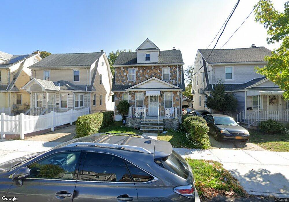
19124 112th Rd Saint Albans, NY 11412
Hollis NeighborhoodEstimated Value: $679,639 - $707,000
--
Bed
--
Bath
1,568
Sq Ft
$443/Sq Ft
Est. Value
About This Home
This home is located at 19124 112th Rd, Saint Albans, NY 11412 and is currently estimated at $693,910, approximately $442 per square foot. 19124 112th Rd is a home located in Queens County with nearby schools including P.S. 118 Lorraine Hansberry, I.S. 192 The Linden, and Riverton Street Charter School.
Ownership History
Date
Name
Owned For
Owner Type
Purchase Details
Closed on
Apr 30, 2021
Sold by
Estate Of Christina Brown and Roy Brown Executor
Bought by
Duperoux Janet and Petit-Homme Jean Claude
Current Estimated Value
Home Financials for this Owner
Home Financials are based on the most recent Mortgage that was taken out on this home.
Original Mortgage
$555,809
Outstanding Balance
$503,702
Interest Rate
3.1%
Mortgage Type
Purchase Money Mortgage
Estimated Equity
$190,208
Purchase Details
Closed on
Jun 29, 2000
Sold by
Brown Rosalee
Bought by
Brown Christina
Create a Home Valuation Report for This Property
The Home Valuation Report is an in-depth analysis detailing your home's value as well as a comparison with similar homes in the area
Home Values in the Area
Average Home Value in this Area
Purchase History
| Date | Buyer | Sale Price | Title Company |
|---|---|---|---|
| Duperoux Janet | $575,000 | -- | |
| Duperoux Janet | $575,000 | -- | |
| Brown Christina | -- | -- | |
| Brown Christina | -- | -- |
Source: Public Records
Mortgage History
| Date | Status | Borrower | Loan Amount |
|---|---|---|---|
| Open | Duperoux Janet | $555,809 | |
| Closed | Duperoux Janet | $555,809 |
Source: Public Records
Tax History Compared to Growth
Tax History
| Year | Tax Paid | Tax Assessment Tax Assessment Total Assessment is a certain percentage of the fair market value that is determined by local assessors to be the total taxable value of land and additions on the property. | Land | Improvement |
|---|---|---|---|---|
| 2025 | $4,998 | $26,375 | $7,720 | $18,655 |
| 2024 | $4,998 | $24,883 | $6,846 | $18,037 |
| 2023 | $4,998 | $24,883 | $6,743 | $18,140 |
| 2022 | $4,768 | $41,700 | $11,820 | $29,880 |
| 2021 | $4,605 | $37,560 | $11,820 | $25,740 |
| 2020 | $4,356 | $32,280 | $11,820 | $20,460 |
| 2019 | $4,045 | $31,800 | $11,820 | $19,980 |
| 2018 | $3,929 | $20,736 | $9,726 | $11,010 |
| 2017 | $3,758 | $19,905 | $9,183 | $10,722 |
| 2016 | $3,570 | $19,905 | $9,183 | $10,722 |
| 2015 | $2,045 | $18,316 | $10,528 | $7,788 |
| 2014 | $2,045 | $17,280 | $9,804 | $7,476 |
Source: Public Records
Map
Nearby Homes
- 191-40 112th Rd
- 190-59 112th Ave
- 190-63 112th Ave
- 19022 111th Rd
- 194-16 112th Ave
- 194-29 112th Ave
- 194- 24 111th Rd
- 18833 Keeseville Ave
- 111-06 Farmers Blvd
- 19432 113th Rd
- 19404 110th Rd
- 19427 Murdock Ave
- 188-31 Jordan Ave
- 188-25 Mangin Ave
- 187-44 Jordan Ave
- 18823 Mangin Ave
- 18908 114th Rd
- 19445 Murdock Ave
- 191-16 114th Rd
- 191-34 114th Rd
- 191-24 112th Rd
- 19120 112th Rd
- 19128 112th Rd
- 19118 112th Rd
- 19130 112th Rd
- 191-18 112th Rd
- 19117 113th Ave
- 19134 112th Rd
- 19115 113th Ave
- 191-20 112th Rd
- 19121 113th Ave
- 11255 Farmers Blvd
- 191-21 113th Ave
- 19125 113th Ave
- 19138 112th Rd
- 19121 112th Rd
- 19121 112th Rd
- 19129 112th Rd
- 19127 113th Ave
- 19121 112th Rd