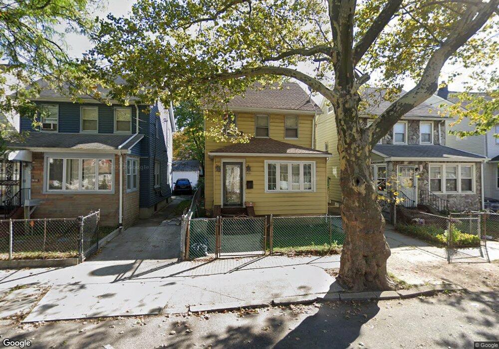
19128 114th Rd Saint Albans, NY 11412
Saint Albans NeighborhoodEstimated Value: $616,756 - $776,000
--
Bed
--
Bath
1,293
Sq Ft
$531/Sq Ft
Est. Value
About This Home
This home is located at 19128 114th Rd, Saint Albans, NY 11412 and is currently estimated at $687,189, approximately $531 per square foot. 19128 114th Rd is a home located in Queens County with nearby schools including Ps 36 St Albans School, Is 59 Springfield Gardens, and Riverton Street Charter School.
Ownership History
Date
Name
Owned For
Owner Type
Purchase Details
Closed on
Aug 9, 2002
Sold by
Bell Ronald and Darby-Bell Ronald G
Bought by
Thomason Henry and Smith-Thomason Kim
Current Estimated Value
Home Financials for this Owner
Home Financials are based on the most recent Mortgage that was taken out on this home.
Original Mortgage
$171,000
Outstanding Balance
$71,375
Interest Rate
6.36%
Estimated Equity
$615,814
Purchase Details
Closed on
Dec 17, 1997
Sold by
Francis Calvin M and Gaillard Enid
Bought by
Bell Ronald
Create a Home Valuation Report for This Property
The Home Valuation Report is an in-depth analysis detailing your home's value as well as a comparison with similar homes in the area
Home Values in the Area
Average Home Value in this Area
Purchase History
| Date | Buyer | Sale Price | Title Company |
|---|---|---|---|
| Thomason Henry | -- | -- | |
| Bell Ronald | $12,500 | -- |
Source: Public Records
Mortgage History
| Date | Status | Borrower | Loan Amount |
|---|---|---|---|
| Open | Thomason Henry | $171,000 |
Source: Public Records
Tax History Compared to Growth
Tax History
| Year | Tax Paid | Tax Assessment Tax Assessment Total Assessment is a certain percentage of the fair market value that is determined by local assessors to be the total taxable value of land and additions on the property. | Land | Improvement |
|---|---|---|---|---|
| 2025 | $5,019 | $27,946 | $7,179 | $20,767 |
| 2024 | $5,031 | $26,388 | $7,109 | $19,279 |
| 2023 | $4,719 | $24,895 | $6,547 | $18,348 |
| 2022 | $4,402 | $36,540 | $10,620 | $25,920 |
| 2021 | $4,605 | $35,160 | $10,620 | $24,540 |
| 2020 | $4,633 | $30,660 | $10,620 | $20,040 |
| 2019 | $4,307 | $28,920 | $10,620 | $18,300 |
| 2018 | $3,931 | $20,746 | $7,846 | $12,900 |
| 2017 | $3,690 | $19,573 | $8,057 | $11,516 |
| 2016 | $3,570 | $19,573 | $8,057 | $11,516 |
| 2015 | $2,007 | $19,407 | $9,370 | $10,037 |
| 2014 | $2,007 | $18,326 | $10,618 | $7,708 |
Source: Public Records
Map
Nearby Homes
- 191-47 114th Dr
- 191-34 114th Rd
- 191-16 114th Rd
- 191-68 115th Rd
- 194-19 115th Rd
- 19431 114th Rd
- 189-18 114th Dr
- 194-34 115th Rd
- 18908 114th Rd
- 19427 Murdock Ave
- 194-42 Murdock Ave
- 19432 113th Rd
- 19445 Murdock Ave
- 194-56 Murdock Ave
- 18918 Tioga Dr
- 115-72 Farmers Blvd
- 114-22 197th St
- 188-45 Quencer Rd
- 191-40 112th Rd
- 11608 196th St