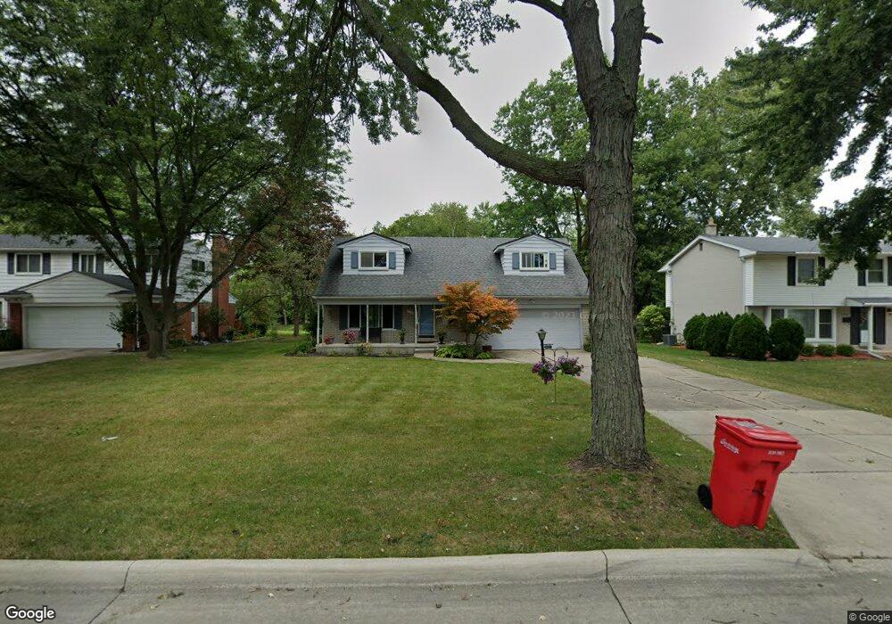
19128 Green Spruce Ln Southfield, MI 48076
Estimated Value: $325,000 - $381,000
4
Beds
2
Baths
1,851
Sq Ft
$185/Sq Ft
Est. Value
About This Home
This home is located at 19128 Green Spruce Ln, Southfield, MI 48076 and is currently estimated at $341,513, approximately $184 per square foot. 19128 Green Spruce Ln is a home located in Oakland County with nearby schools including Alice M. Birney K-8 School, Mcintyre Elementary School, and Crescent Academy Pk-1.
Ownership History
Date
Name
Owned For
Owner Type
Purchase Details
Closed on
Mar 1, 2011
Sold by
Secretary Of Housing & Urban Development
Bought by
Merline Jamie Jean
Current Estimated Value
Purchase Details
Closed on
Apr 15, 2009
Sold by
Countrywide Home Loans Inc
Bought by
The Secretary Of Housing & Urban Develop
Purchase Details
Closed on
Oct 15, 2008
Sold by
Mortgage Electronic Registration Systems
Bought by
Countrywide Home Loans Inc
Purchase Details
Closed on
Oct 14, 2008
Sold by
Tutt Shirley
Bought by
Mortgage Electronic Registration Systems
Purchase Details
Closed on
May 7, 2001
Sold by
Tutt Frederick
Bought by
Tutt Shirley
Create a Home Valuation Report for This Property
The Home Valuation Report is an in-depth analysis detailing your home's value as well as a comparison with similar homes in the area
Home Values in the Area
Average Home Value in this Area
Purchase History
| Date | Buyer | Sale Price | Title Company |
|---|---|---|---|
| Merline Jamie Jean | $44,000 | None Available | |
| The Secretary Of Housing & Urban Develop | -- | None Available | |
| Countrywide Home Loans Inc | -- | None Available | |
| Mortgage Electronic Registration Systems | $132,903 | None Available | |
| Tutt Shirley | -- | -- |
Source: Public Records
Tax History Compared to Growth
Tax History
| Year | Tax Paid | Tax Assessment Tax Assessment Total Assessment is a certain percentage of the fair market value that is determined by local assessors to be the total taxable value of land and additions on the property. | Land | Improvement |
|---|---|---|---|---|
| 2022 | $3,299 | $121,230 | $20,370 | $100,860 |
| 2021 | $3,390 | $108,120 | $21,360 | $86,760 |
| 2020 | $2,954 | $103,800 | $18,730 | $85,070 |
| 2018 | $3,495 | $79,680 | $16,830 | $62,850 |
| 2015 | -- | $65,440 | $0 | $0 |
| 2014 | -- | $51,400 | $0 | $0 |
| 2011 | -- | $51,980 | $0 | $0 |
Source: Public Records
Map
Nearby Homes
- 29662 Westbrook Pkwy
- 29743 Chelmsford Rd
- 29140 Candlewood Ln
- 29484 Spring Hill Dr
- 29214 Candlewood Ln
- 29807 Spring Hill Dr
- 19601 W 12 Mile Rd Unit 102
- 29239 Somerset Dr
- 29848 Rambling Rd
- 30130 Woodgate Dr
- 21650 W 11 Mile Rd
- 18797 Wiltshire Blvd
- 18240 Webster Ave
- 20141 Lacrosse Ave
- 30301 Spring River Dr
- 19245 Eldridge Ln
- 20351 Lacrosse Ave
- 28450 Tapert Dr
- 20120 Covington Pkwy
- 30560 Northgate Dr
- 19142 Green Spruce Ln
- 19116 Green Spruce Ln
- 19076 Green Spruce Ln
- 29501 Rock Creek Dr
- 29306 Westbrook Pkwy
- 29465 Rock Creek Dr
- 29527 Rock Creek Dr
- 29318 Westbrook Pkwy
- 19125 Green Spruce Ln
- 19115 Green Spruce Ln
- 19141 Green Spruce Ln
- 29455 Rock Creek Dr
- 29330 Westbrook Pkwy
- 19161 Green Spruce Ln
- 19101 Green Spruce Ln
- 29553 Rock Creek Dr
- 29425 Rock Creek Dr
- 29435 Rock Creek Dr
- 29344 Westbrook Pkwy
- 29405 Rock Creek Dr