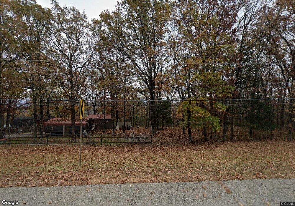
19128 N Highway 71 Mountainburg, AR 72946
Estimated Value: $256,989 - $338,000
--
Bed
1
Bath
1,500
Sq Ft
$191/Sq Ft
Est. Value
About This Home
This home is located at 19128 N Highway 71, Mountainburg, AR 72946 and is currently estimated at $286,997, approximately $191 per square foot. 19128 N Highway 71 is a home located in Crawford County with nearby schools including Mountainburg Elementary School, Mountainburg Middle School, and Mountainburg High School.
Ownership History
Date
Name
Owned For
Owner Type
Purchase Details
Closed on
Sep 25, 2025
Sold by
Commissioner Of State Lands
Bought by
City Of Fort Smith Arkansas
Current Estimated Value
Purchase Details
Closed on
Jun 29, 2018
Sold by
Wright Richard Dale and Wright Cindy Marie
Bought by
City Of Fort Smith
Purchase Details
Closed on
Nov 15, 1994
Bought by
Willis-Sloan
Create a Home Valuation Report for This Property
The Home Valuation Report is an in-depth analysis detailing your home's value as well as a comparison with similar homes in the area
Home Values in the Area
Average Home Value in this Area
Purchase History
| Date | Buyer | Sale Price | Title Company |
|---|---|---|---|
| City Of Fort Smith Arkansas | $2,184 | None Listed On Document | |
| City Of Fort Smith | $168,000 | None Available | |
| Willis-Sloan | -- | -- | |
| Sloan-Wright | $60,000 | -- |
Source: Public Records
Tax History Compared to Growth
Tax History
| Year | Tax Paid | Tax Assessment Tax Assessment Total Assessment is a certain percentage of the fair market value that is determined by local assessors to be the total taxable value of land and additions on the property. | Land | Improvement |
|---|---|---|---|---|
| 2025 | $1,053 | $27,100 | $4,010 | $23,090 |
| 2024 | $980 | $27,100 | $4,010 | $23,090 |
| 2023 | $891 | $27,100 | $4,010 | $23,090 |
| 2022 | $818 | $15,790 | $2,850 | $12,940 |
| 2021 | $818 | $15,790 | $2,850 | $12,940 |
| 2020 | $740 | $15,790 | $2,850 | $12,940 |
| 2019 | $740 | $15,790 | $2,850 | $12,940 |
| 2018 | $390 | $15,790 | $2,850 | $12,940 |
| 2017 | $378 | $15,700 | $3,030 | $12,670 |
| 2016 | $386 | $15,700 | $3,030 | $12,670 |
| 2015 | $386 | $15,700 | $3,030 | $12,670 |
| 2014 | $378 | $15,700 | $3,030 | $12,670 |
Source: Public Records
Map
Nearby Homes
- 11939 Canova Trail
- 11901 Canova Trail
- 19108 Canova Trail
- 17221 N Highway 71
- 15800 Sand Point Terrace
- 15802 Sand Point Terrace
- 15801 Sand Point Terrace
- 21701 Mount Gaylor Point
- 411 E Front Ave
- TBD Old Locke Rd
- TBD N Hwy 71
- 22764 Carter Lane Rd
- 47 Acres Wc 4275
- 933 Serviceberry Rd
- 21588 S Highway 71
- 1100 Highway 71 NE
- 19433 U S Highway 71
- 19433 N Highway 71
- 129 Hickory Trail
- 13704 N Highway 348
- 19000 N Highway 71
- 19028 N Highway 71
- 19041 N Highway 71
- 19027 N Highway 71
- TBD N Highway 71
- TBD Cartwright Mountain Rd
- 19158 Cartwright Mountain Rd
- 19420 N Highway 71
- 19233 Cartwright Mountain Rd
- 18934 Cartwright Mountain Rd
- 18900 Cartwright Mountain Rd
- 19505 N Highway 71
- 0 Cartwright Mountain Rd Unit 655236
- 0 Cartwright Mountain Rd Unit 568785
- 0 Cartwright Mountain Rd Unit 590068
- 0 Cartwright Mountain Rd Unit 609839
- 0 Cartwright Mountain Rd Unit 641409
- 18905 Cartwright Mountain Rd
- 18824 Cartwright Mountain Rd
- 19587 N Highway 71