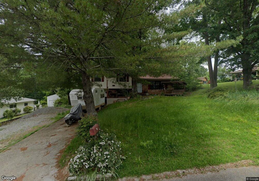
1913 Barrett Dr Fort Oglethorpe, GA 30742
Estimated Value: $225,417 - $239,000
3
Beds
2
Baths
1,500
Sq Ft
$155/Sq Ft
Est. Value
About This Home
This home is located at 1913 Barrett Dr, Fort Oglethorpe, GA 30742 and is currently estimated at $232,604, approximately $155 per square foot. 1913 Barrett Dr is a home located in Catoosa County with nearby schools including Battlefield Primary School, Battlefield Elementary School, and Lakeview Middle School.
Ownership History
Date
Name
Owned For
Owner Type
Purchase Details
Closed on
Apr 23, 2012
Sold by
James Francis C
Bought by
Worsham Paul Edward
Current Estimated Value
Home Financials for this Owner
Home Financials are based on the most recent Mortgage that was taken out on this home.
Original Mortgage
$86,860
Outstanding Balance
$59,540
Interest Rate
3.75%
Mortgage Type
FHA
Estimated Equity
$173,064
Purchase Details
Closed on
Jul 12, 2011
Sold by
Bales Bettye Sue
Bought by
James Francis C
Home Financials for this Owner
Home Financials are based on the most recent Mortgage that was taken out on this home.
Original Mortgage
$40,000
Interest Rate
4.53%
Mortgage Type
New Conventional
Create a Home Valuation Report for This Property
The Home Valuation Report is an in-depth analysis detailing your home's value as well as a comparison with similar homes in the area
Home Values in the Area
Average Home Value in this Area
Purchase History
| Date | Buyer | Sale Price | Title Company |
|---|---|---|---|
| Worsham Paul Edward | $94,000 | -- | |
| James Francis C | $50,000 | -- |
Source: Public Records
Mortgage History
| Date | Status | Borrower | Loan Amount |
|---|---|---|---|
| Open | Worsham Paul Edward | $86,860 | |
| Previous Owner | James Francis C | $40,000 |
Source: Public Records
Tax History Compared to Growth
Tax History
| Year | Tax Paid | Tax Assessment Tax Assessment Total Assessment is a certain percentage of the fair market value that is determined by local assessors to be the total taxable value of land and additions on the property. | Land | Improvement |
|---|---|---|---|---|
| 2024 | $1,924 | $73,114 | $8,494 | $64,620 |
| 2023 | $1,572 | $55,954 | $8,494 | $47,460 |
| 2022 | $1,267 | $45,124 | $8,494 | $36,630 |
| 2021 | $1,202 | $45,124 | $8,494 | $36,630 |
| 2020 | $1,168 | $39,569 | $8,494 | $31,075 |
| 2019 | $1,180 | $39,569 | $8,494 | $31,075 |
| 2018 | $1,197 | $38,194 | $7,550 | $30,644 |
| 2017 | $1,186 | $37,831 | $7,550 | $30,281 |
| 2016 | $1,139 | $34,790 | $7,550 | $27,240 |
| 2015 | -- | $34,790 | $7,550 | $27,240 |
| 2014 | -- | $34,790 | $7,550 | $27,240 |
| 2013 | -- | $31,148 | $7,550 | $23,598 |
Source: Public Records
Map
Nearby Homes
- 1917 Barrett Dr
- 1901 Barrett Dr
- 140 Diane Ln
- 1921 Barrett Dr
- 1914 Barrett Dr
- 132 Diane Ln
- 7 Cindy Cir
- 1910 Barrett Dr
- 1918 Barrett Dr
- 1922 Barrett Dr
- 0 Barrett Dr
- 144 Diane Ln
- 11 Cindy Cir
- 1926 Barrett Dr
- 1900 Barrett Dr
- 125 Diane Ln
- 1915 Old Lafayette Rd
- 1911 Old Lafayette Rd
- 121 Diane Ln
- 1930 Barrett Dr