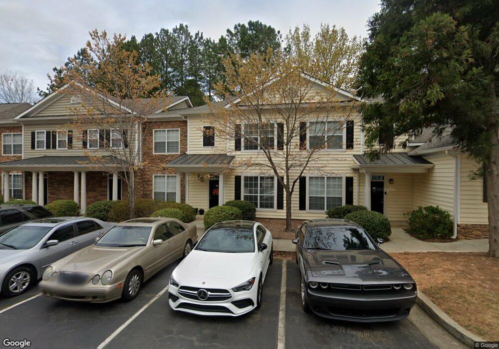
1913 Barrow Way Unit 1913 Duluth, GA 30096
Estimated Value: $253,000 - $301,000
3
Beds
2
Baths
1,405
Sq Ft
$196/Sq Ft
Est. Value
About This Home
This home is located at 1913 Barrow Way Unit 1913, Duluth, GA 30096 and is currently estimated at $274,701, approximately $195 per square foot. 1913 Barrow Way Unit 1913 is a home located in Gwinnett County with nearby schools including Chattahoochee Elementary School, Coleman Middle School, and Duluth High School.
Ownership History
Date
Name
Owned For
Owner Type
Purchase Details
Closed on
Aug 15, 2005
Sold by
Hong George S
Bought by
Hong George S
Current Estimated Value
Home Financials for this Owner
Home Financials are based on the most recent Mortgage that was taken out on this home.
Original Mortgage
$102,300
Outstanding Balance
$52,752
Interest Rate
5.57%
Mortgage Type
New Conventional
Estimated Equity
$221,949
Create a Home Valuation Report for This Property
The Home Valuation Report is an in-depth analysis detailing your home's value as well as a comparison with similar homes in the area
Home Values in the Area
Average Home Value in this Area
Purchase History
| Date | Buyer | Sale Price | Title Company |
|---|---|---|---|
| Hong George S | $127,900 | -- | |
| Hong George S | $127,900 | -- |
Source: Public Records
Mortgage History
| Date | Status | Borrower | Loan Amount |
|---|---|---|---|
| Open | Hong George S | $102,300 |
Source: Public Records
Tax History Compared to Growth
Tax History
| Year | Tax Paid | Tax Assessment Tax Assessment Total Assessment is a certain percentage of the fair market value that is determined by local assessors to be the total taxable value of land and additions on the property. | Land | Improvement |
|---|---|---|---|---|
| 2025 | $798 | $115,000 | $22,440 | $92,560 |
| 2024 | $3,630 | $113,440 | $14,800 | $98,640 |
| 2023 | $3,630 | $104,520 | $10,000 | $94,520 |
| 2022 | $2,680 | $83,480 | $10,000 | $73,480 |
| 2021 | $2,245 | $68,440 | $10,000 | $58,440 |
| 2020 | $1,943 | $58,800 | $8,000 | $50,800 |
| 2019 | $2,354 | $58,800 | $8,000 | $50,800 |
| 2018 | $1,788 | $54,000 | $8,000 | $46,000 |
| 2016 | $1,276 | $38,600 | $8,000 | $30,600 |
| 2015 | $1,355 | $33,920 | $8,000 | $25,920 |
| 2014 | -- | $29,480 | $4,000 | $25,480 |
Source: Public Records
Map
Nearby Homes
- 717 Beaufort Cir
- 509 Bedfort Dr
- 515 Bedfort Dr
- 3533 Mulberry Way
- 113 Brittany Ct
- 121 Brittany Ct
- 4160 Darby Way
- 3476 Silver Maple Dr
- 3469 Silver Maple Dr Unit A
- 3446 Courtenay Ct
- 3786 Turnberry Ct
- 4085 River Green Pkwy
- 4088 Suzanne Ln
- 3959 Saint Elisabeth Square
- 5890 Hershinger Close
- 4188 Rogers Creek Ct Unit 56
- 4134 Rogers Creek Ct Unit 41
- 3229 Richwood Dr
- 1905 Barrow Way
- 1911 Barrow Way
- 1915 Barrow Way Unit 1915
- 1907 Barrow Way Unit 1907
- 1903 Barrow Way
- 1903 Barrow Way Unit 1903
- 1909 Barrow Way Unit 1909
- 1901 Barrow Way
- 1803 Barrow Way Unit 1803
- 1807 Barrow Way
- 1811 Barrow Way Unit 1811
- 1809 Barrow Way Unit 1809
- 1823 Barrow Way
- 1821 Barrow Way
- 1805 Barrow Way
- 1819 Barrow Way
- 1817 Barrow Way
- 1801 Barrow Way Unit 1801
- 1813 Barrow Way
- 610 Bedfort Dr