1913 Bay Line Ln NW Unit 113 Atlanta, GA 30318
Bolton NeighborhoodEstimated Value: $631,174 - $712,000
5
Beds
5
Baths
2,038
Sq Ft
$329/Sq Ft
Est. Value
About This Home
This home is located at 1913 Bay Line Ln NW Unit 113, Atlanta, GA 30318 and is currently estimated at $669,794, approximately $328 per square foot. 1913 Bay Line Ln NW Unit 113 is a home located in Fulton County with nearby schools including Bolton Academy, Sutton Middle School, and North Atlanta High School.
Ownership History
Date
Name
Owned For
Owner Type
Purchase Details
Closed on
Dec 20, 2023
Sold by
Wilson Cassandra
Bought by
Camjay Holdings Llc
Current Estimated Value
Purchase Details
Closed on
Jun 8, 2018
Sold by
Brock Built Homes Llc
Bought by
Ryan Wilson and Wilson Cassandra
Home Financials for this Owner
Home Financials are based on the most recent Mortgage that was taken out on this home.
Original Mortgage
$403,665
Interest Rate
4.5%
Mortgage Type
New Conventional
Create a Home Valuation Report for This Property
The Home Valuation Report is an in-depth analysis detailing your home's value as well as a comparison with similar homes in the area
Home Values in the Area
Average Home Value in this Area
Purchase History
| Date | Buyer | Sale Price | Title Company |
|---|---|---|---|
| Camjay Holdings Llc | -- | -- | |
| Ryan Wilson | $474,900 | -- |
Source: Public Records
Mortgage History
| Date | Status | Borrower | Loan Amount |
|---|---|---|---|
| Previous Owner | Ryan Wilson | $403,665 |
Source: Public Records
Tax History Compared to Growth
Tax History
| Year | Tax Paid | Tax Assessment Tax Assessment Total Assessment is a certain percentage of the fair market value that is determined by local assessors to be the total taxable value of land and additions on the property. | Land | Improvement |
|---|---|---|---|---|
| 2025 | $8,214 | $291,760 | $60,120 | $231,640 |
| 2023 | $10,660 | $257,480 | $51,600 | $205,880 |
| 2022 | $7,437 | $183,760 | $43,840 | $139,920 |
| 2021 | $8,160 | $201,440 | $40,120 | $161,320 |
| 2020 | $8,156 | $199,080 | $39,640 | $159,440 |
| 2019 | $415 | $145,280 | $24,720 | $120,560 |
| 2018 | $1,033 | $145,280 | $24,720 | $120,560 |
| 2017 | $916 | $24,960 | $24,960 | $0 |
Source: Public Records
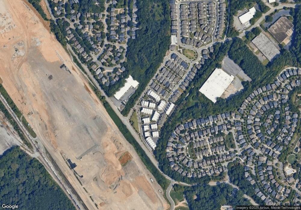
Map
Nearby Homes
- 1837 Brooks Dr NW
- 1914 Coal Place
- 1831 Brooks Dr NW
- 1923 Coal Place
- 1940 Maritime Way
- 1433 Dupont Commons Cir NW
- 1954 Westside Blvd NW
- 2099 Adams Dr NW
- 1953 Haley Walk
- 1697 Barfield Run NW
- 1612 Gilstrap Ln NW
- 2134 Whittier Place NW
- 1638 Gilstrap Ln NW
- 1660 Gilstrap Ln NW
- 1647 Dupont Commons Dr NW
- 1613 Dupont Commons Dr NW
- 2232 Dunseath Ave NW Unit 202
- 2232 Dunseath Ave NW Unit 204
- 1911 Bay Line Ln NW Unit 112
- 1911 Bay Line Ln NW
- 1911 Bay Line Ln NW Unit 112
- 1911 Bay Line Ln NW
- 1913 Bay Line Ln NW Unit 113
- 1913 Bay Line Ln NW
- 1917 Bay Line Ln
- 1913 Bay Line Ln NW
- 1909 Bay Line Ln NW Unit 111
- 1909 Bay Line Ln NW
- 1909 Bay Line Ln NW Unit 111
- 1909 Bay Line Ln NW
- 1858 Brooks Dr NW Unit 153
- 1919 Bay Line Ln NW Unit 115
- 1914 Bay Line Ln NW Unit 119
- 1910 Bay Line Ln NW Unit 121
- 1912 Bay Line Ln NW Unit 120
- 1912 Bay Line Ln NW Unit 114
- 1921 Bay Line Ln NW Unit 116
- 1921 Bay Line Ln NW