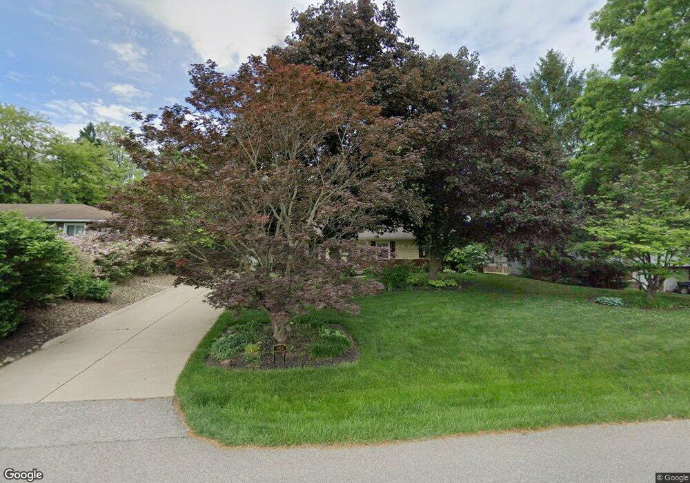
1913 Caroline Ave Norton, OH 44203
North Barberton NeighborhoodEstimated Value: $204,000 - $222,000
3
Beds
2
Baths
1,500
Sq Ft
$142/Sq Ft
Est. Value
About This Home
This home is located at 1913 Caroline Ave, Norton, OH 44203 and is currently estimated at $212,289, approximately $141 per square foot. 1913 Caroline Ave is a home located in Summit County with nearby schools including Barberton Middle School, Barberton Intermediate School 3-5, and Barberton High School.
Ownership History
Date
Name
Owned For
Owner Type
Purchase Details
Closed on
May 2, 2016
Sold by
Green Joyce M
Bought by
Green Lance W and Green Family Irrevocable Trust
Current Estimated Value
Purchase Details
Closed on
Aug 25, 2003
Sold by
Green Donald W and Green Joyce M
Bought by
Green Donald W and Green Joyce M
Create a Home Valuation Report for This Property
The Home Valuation Report is an in-depth analysis detailing your home's value as well as a comparison with similar homes in the area
Home Values in the Area
Average Home Value in this Area
Purchase History
| Date | Buyer | Sale Price | Title Company |
|---|---|---|---|
| Green Lance W | -- | None Available | |
| Green Donald W | -- | -- |
Source: Public Records
Tax History
| Year | Tax Paid | Tax Assessment Tax Assessment Total Assessment is a certain percentage of the fair market value that is determined by local assessors to be the total taxable value of land and additions on the property. | Land | Improvement |
|---|---|---|---|---|
| 2024 | $2,671 | $58,395 | $15,810 | $42,585 |
| 2023 | $2,671 | $58,395 | $15,810 | $42,585 |
| 2022 | $1,868 | $38,189 | $10,136 | $28,053 |
| 2021 | $1,868 | $38,189 | $10,136 | $28,053 |
| 2020 | $1,762 | $38,190 | $10,140 | $28,050 |
| 2019 | $1,769 | $35,320 | $9,390 | $25,930 |
| 2018 | $1,743 | $35,320 | $9,390 | $25,930 |
| 2017 | $2,063 | $35,320 | $9,390 | $25,930 |
| 2016 | $1,711 | $34,300 | $9,390 | $24,910 |
| 2015 | $2,063 | $34,300 | $9,390 | $24,910 |
| 2014 | $2,630 | $34,300 | $9,390 | $24,910 |
| 2013 | $2,555 | $34,300 | $9,390 | $24,910 |
Source: Public Records
Map
Nearby Homes
- 1974 Newton Ave
- 174 Yonker St
- 266 Hazelwood Ave
- 26 W Hiram St
- 197 W State St Unit 182
- 162 Mitchell St
- 2025 Mcgowan Rd
- 0 Romig Ave
- 76 Hazelwood Ave
- 217 W Summit St
- 52 Norwood St
- 345 Morgan St
- 1146 Wooster Rd N
- 553 Princeton Ave
- 0 Wooster Rd N
- 172 & 173 Belcher Ave
- 613 Wooster Rd N
- 485 Lloyd St
- 526 Wooster Rd N
- 491 Taft Ave
- 1905 Caroline Ave
- 1923 Caroline Ave
- 1897 Caroline Ave
- 1931 Caroline Ave
- 1914 Connect Rd
- 1906 Connect Rd
- 1887 Caroline Ave
- 1922 Connect Rd
- 1914 Caroline Ave
- 1906 Caroline Ave
- 1896 Connect Rd
- 1932 Connect Rd
- 1953 Newton St
- 1898 Caroline Ave
- 1932 Caroline Ave
- 1879 Caroline Ave
- 1888 Connect Rd
- 1888 Caroline Ave
- 1944 Connect Rd
- 1952 Caroline Ave
Your Personal Tour Guide
Ask me questions while you tour the home.