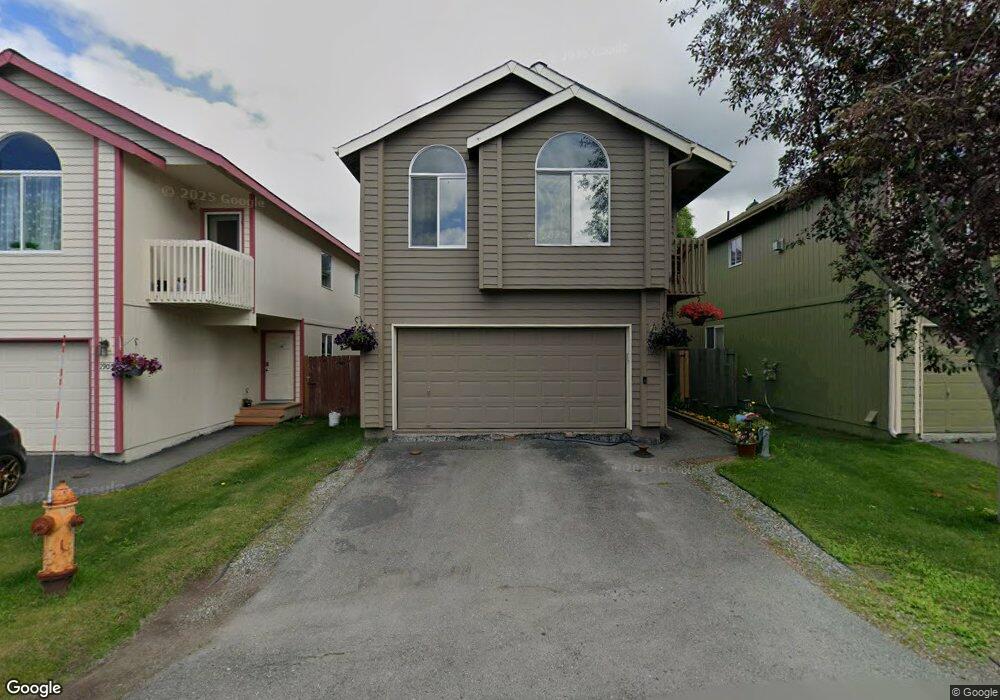
1913 Colony Place Unit 32 Anchorage, AK 99507
Abbott Loop NeighborhoodEstimated Value: $289,000 - $435,000
3
Beds
2
Baths
1,889
Sq Ft
$203/Sq Ft
Est. Value
About This Home
This home is located at 1913 Colony Place Unit 32, Anchorage, AK 99507 and is currently estimated at $384,105, approximately $203 per square foot. 1913 Colony Place Unit 32 is a home located in Anchorage Municipality with nearby schools including Spring Hill Elementary School, Hanshew Middle School, and Service High School.
Ownership History
Date
Name
Owned For
Owner Type
Purchase Details
Closed on
Sep 4, 2002
Sold by
Discovery Construction Inc
Bought by
Castro Mary and Castro Erdrich
Current Estimated Value
Home Financials for this Owner
Home Financials are based on the most recent Mortgage that was taken out on this home.
Original Mortgage
$186,900
Outstanding Balance
$76,866
Interest Rate
6.29%
Mortgage Type
Purchase Money Mortgage
Estimated Equity
$307,239
Create a Home Valuation Report for This Property
The Home Valuation Report is an in-depth analysis detailing your home's value as well as a comparison with similar homes in the area
Home Values in the Area
Average Home Value in this Area
Purchase History
| Date | Buyer | Sale Price | Title Company |
|---|---|---|---|
| Castro Mary | -- | First American Title |
Source: Public Records
Mortgage History
| Date | Status | Borrower | Loan Amount |
|---|---|---|---|
| Open | Castro Mary | $186,900 |
Source: Public Records
Tax History Compared to Growth
Tax History
| Year | Tax Paid | Tax Assessment Tax Assessment Total Assessment is a certain percentage of the fair market value that is determined by local assessors to be the total taxable value of land and additions on the property. | Land | Improvement |
|---|---|---|---|---|
| 2025 | $3,902 | $361,100 | -- | $361,100 |
| 2024 | $3,902 | $316,700 | $0 | $316,700 |
| 2023 | $4,920 | $288,900 | $0 | $288,900 |
| 2022 | $4,227 | $301,000 | $0 | $301,000 |
| 2021 | $5,222 | $289,800 | $0 | $289,800 |
| 2020 | $3,834 | $275,800 | $0 | $275,800 |
| 2019 | $3,787 | $281,500 | $0 | $281,500 |
| 2018 | $3,859 | $285,300 | $0 | $285,300 |
| 2017 | $4,054 | $278,900 | $0 | $278,900 |
| 2016 | $3,413 | $269,200 | $0 | $269,200 |
| 2015 | $3,413 | $263,500 | $0 | $263,500 |
| 2014 | $3,413 | $244,100 | $0 | $244,100 |
Source: Public Records
Map
Nearby Homes
- 1917 Colony Place Unit 33
- 1914 Sturbridge Ct Unit 3
- 9730 Vanguard Dr Unit 12
- 9700 Vanguard Dr Unit 70
- 2060 Sturbridge Cir
- 10260 Jamestown Dr Unit A8
- 9710 Vanguard Dr Unit 80
- 9599 Brayton Dr Unit 422
- 1611 Betula Cir
- 10261 Arborvitae Dr
- 1900-1941 Marthas Vineyard Cir
- 10285 Arborvitae Dr
- 8000 Independence Park Dr
- 10359 Valley Park Dr
- 267 Loop Unit 267
- 10009 Thimble Berry Dr
- 9499 Brayton Dr Unit 39
- 9499 Brayton Dr Unit 152
- 9499 Brayton Dr Unit 245
- 1510 Elcadore Dr Unit 134
- 1909 Colony Place Unit 31
- 1909 Colony Place Unit 56
- 1917 Colony Place Unit 58
- 1912 Colony Place Unit 47
- 1908 Colony Place Unit 48
- 1814 Colony Place Unit 52
- 1905 Colony Place Unit 30
- 1822 Colony Place Unit 50
- 1839 Colony Place Unit 26
- 1826 Colony Place Unit 49
- 1941 Colony Place Unit 39
- 1937 Colony Place Unit 38
- 1933 Colony Place Unit 37
- 1929 Colony Place Unit 36
- 1925 Colony Place Unit 35
- 1921 Colony Place Unit 34
- 1835 Colony Place Unit 15
- 1905 Colony Place Unit 55
- 1921 Colony Place Unit 59
- 1916 Colony Place Unit 46