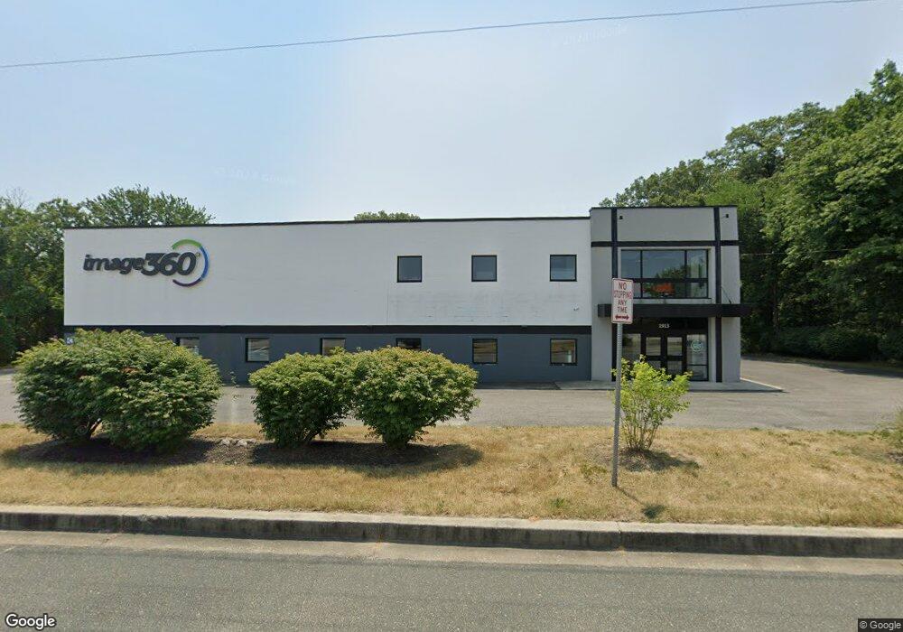
1913 Dorsey Rd Glen Burnie, MD 21061
--
Bed
--
Bath
9,240
Sq Ft
0.86
Acres
About This Home
This home is located at 1913 Dorsey Rd, Glen Burnie, MD 21061. 1913 Dorsey Rd is a home located in Anne Arundel County with nearby schools including Richard Henry Lee Elementary School, Corkran Middle School, and Glen Burnie High School.
Ownership History
Date
Name
Owned For
Owner Type
Purchase Details
Closed on
May 22, 2017
Sold by
Mostaan Dawn F and The Estate Of Stephen J Krupni
Bought by
1913 Dorsey Road Llc
Home Financials for this Owner
Home Financials are based on the most recent Mortgage that was taken out on this home.
Original Mortgage
$940,000
Outstanding Balance
$781,297
Interest Rate
4.08%
Mortgage Type
Commercial
Purchase Details
Closed on
Apr 29, 1998
Sold by
Krupnik Steven J
Bought by
Krupnik Stephen J
Purchase Details
Closed on
Dec 20, 1991
Sold by
Krupnik Brothers Inc
Bought by
Krupnik Steven J
Create a Home Valuation Report for This Property
The Home Valuation Report is an in-depth analysis detailing your home's value as well as a comparison with similar homes in the area
Home Values in the Area
Average Home Value in this Area
Purchase History
| Date | Buyer | Sale Price | Title Company |
|---|---|---|---|
| 1913 Dorsey Road Llc | $1,110,000 | Northco Title Corp | |
| Krupnik Stephen J | -- | -- | |
| Krupnik Steven J | $480,000 | -- |
Source: Public Records
Mortgage History
| Date | Status | Borrower | Loan Amount |
|---|---|---|---|
| Open | 1913 Dorsey Road Llc | $940,000 |
Source: Public Records
Tax History Compared to Growth
Tax History
| Year | Tax Paid | Tax Assessment Tax Assessment Total Assessment is a certain percentage of the fair market value that is determined by local assessors to be the total taxable value of land and additions on the property. | Land | Improvement |
|---|---|---|---|---|
| 2025 | $8,575 | $676,900 | $252,800 | $424,100 |
| 2024 | $8,575 | $671,867 | $0 | $0 |
| 2023 | $8,426 | $666,833 | $0 | $0 |
| 2022 | $8,001 | $661,800 | $252,800 | $409,000 |
| 2021 | $7,500 | $637,167 | $0 | $0 |
| 2020 | $7,500 | $612,533 | $0 | $0 |
| 2019 | $7,241 | $587,900 | $274,600 | $313,300 |
| 2018 | $5,828 | $574,767 | $0 | $0 |
| 2017 | $6,751 | $561,633 | $0 | $0 |
| 2016 | -- | $548,500 | $0 | $0 |
| 2015 | -- | $548,500 | $0 | $0 |
| 2014 | -- | $548,500 | $0 | $0 |
Source: Public Records
Map
Nearby Homes
- 0 Jeffrey Ave Unit MDAA2115638
- 535 Arundel Ave
- 511 Jones Rd
- 672 Queenstown Rd
- 629 Queenstown Rd
- 771 Queenstown Rd
- 7633 Amos Ave
- 7560 Old Telegraph Rd
- 911 Meadowbrook Rd
- 7406 Locust Dr
- 1143 Dorsey Rd
- 7715 Pecan Leaf Rd
- 418 Rose Ave
- 625 Newfield Rd
- 618 Stewart Ave
- 903 Jay Ct
- 320 Washington Blvd
- 318 Washington Blvd
- 900 S Wieker Rd
- 420 Lincoln Ave SW
- 511 Arundel Ave
- 515 Arundel Ave
- 504 Arundel Ave
- 519 Arundel Ave
- 0 Bertram Unit 1004166237
- 0 Bertram Unit 1004166231
- 0 Bertram Unit 1004166161
- 0 Bertram Unit 1004163391
- 0 Bertram Unit 1004166223
- 0 Bertram Unit 1004166193
- 0 Bertram Unit 1006923874
- 0 Bertram Unit 1006906362
- 0 Bertram Unit 1006889714
- 0 Bertram Unit 1006882626
- 0 Bertram Unit 1006878482
- 0 Bertram Unit AA10106722
- 0 Bertram Unit AA10106720
- 0 Bertram Unit AA10106715
- 0 Bertram Unit AA10106705
- 0 Bertram Unit AA10106695